

Castell d’Alaró hike
Route overview Castell d’Alaró
This tour takes you to Castell d’Alaró above Alaró — one of the routes where you reach a great viewpoint without big effort. Here you’ll find the route, an interactive map and a GPX track, plus our honest assessment of effort, navigation, and sensible variants (e.g., whether you park lower down or drive up closer). If you want to hike independently on Mallorca, this is a great fit: map in the browser, GPX as a backup — done.
Highlights of the Castell d’Alaro hike
Even though this loop is not exactly an adventure hike, it still offers something impressive. The castle is only rudimentarily preserved, but you can still get a sense of its former dimensions. The view is phenomenal as well. In one direction you can see Palma Cathedral, and in the other direction you get a view of the highest peaks of the Tramuntana: Penyal des Migdia, Sa Rateta, Tossals Verds, Massanella, Tomir and many others — a lot of bang for the buck!
What to keep in mind
Basically not much — the hike is an extended variant of the hike to Puig de Maria. The paths in the upper section are rocky, but overall easy to walk. Strollers are not usable here, however.
starting point
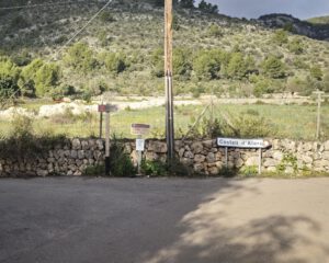
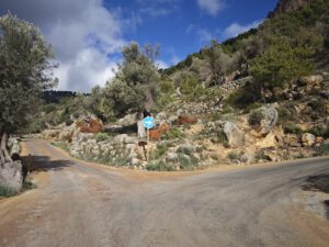
The regular starting point for the hike is the roadside parking area below the summit ( 39.714299, 2.800935).
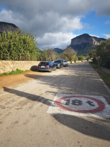
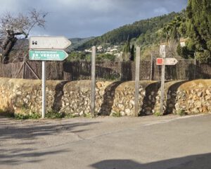
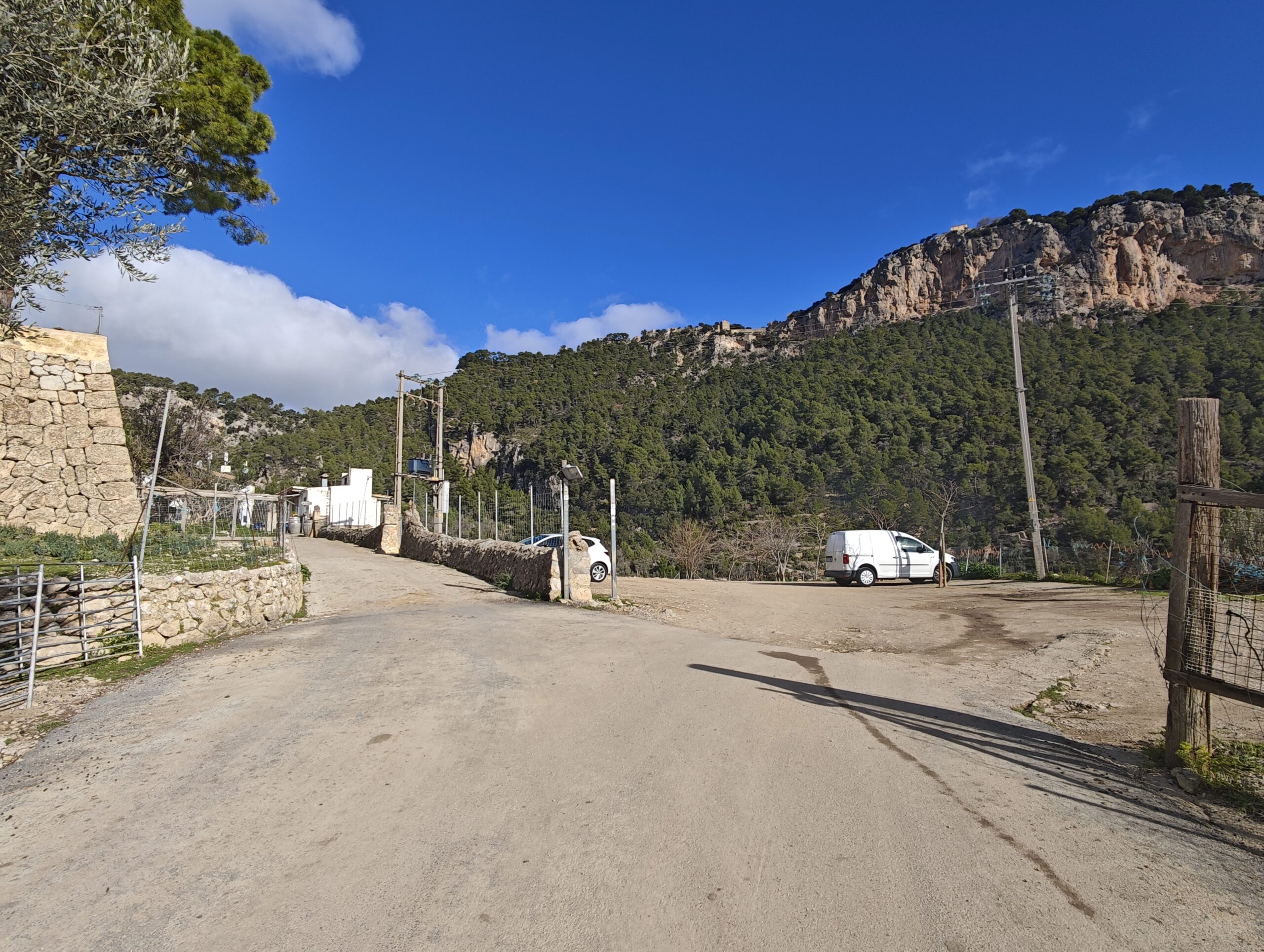
Since the first part of the switchbacks is paved, you can alternatively drive up as far as the restaurant Es Verger and shorten the loop considerably ( 39.729289, 2.788621). The ascent is well paved, but the road is narrow. Two cars definitely do not fit side by side here, and you may need to reverse to pass. If you’re unsure about
that, it’s better to park lower down.
Want more tours like that?
Then take a look at our overview of all hikes on Mallorca! This route is part of our hikes in the Tramuntana m ountains.
This route was also featured in our Best of Mallorca guide to Tramuntana hikes.
CASTELL D'ALARO - SHORT ROUTE GUIDE
Frequently asked questions about the Castell d’Alaro hike
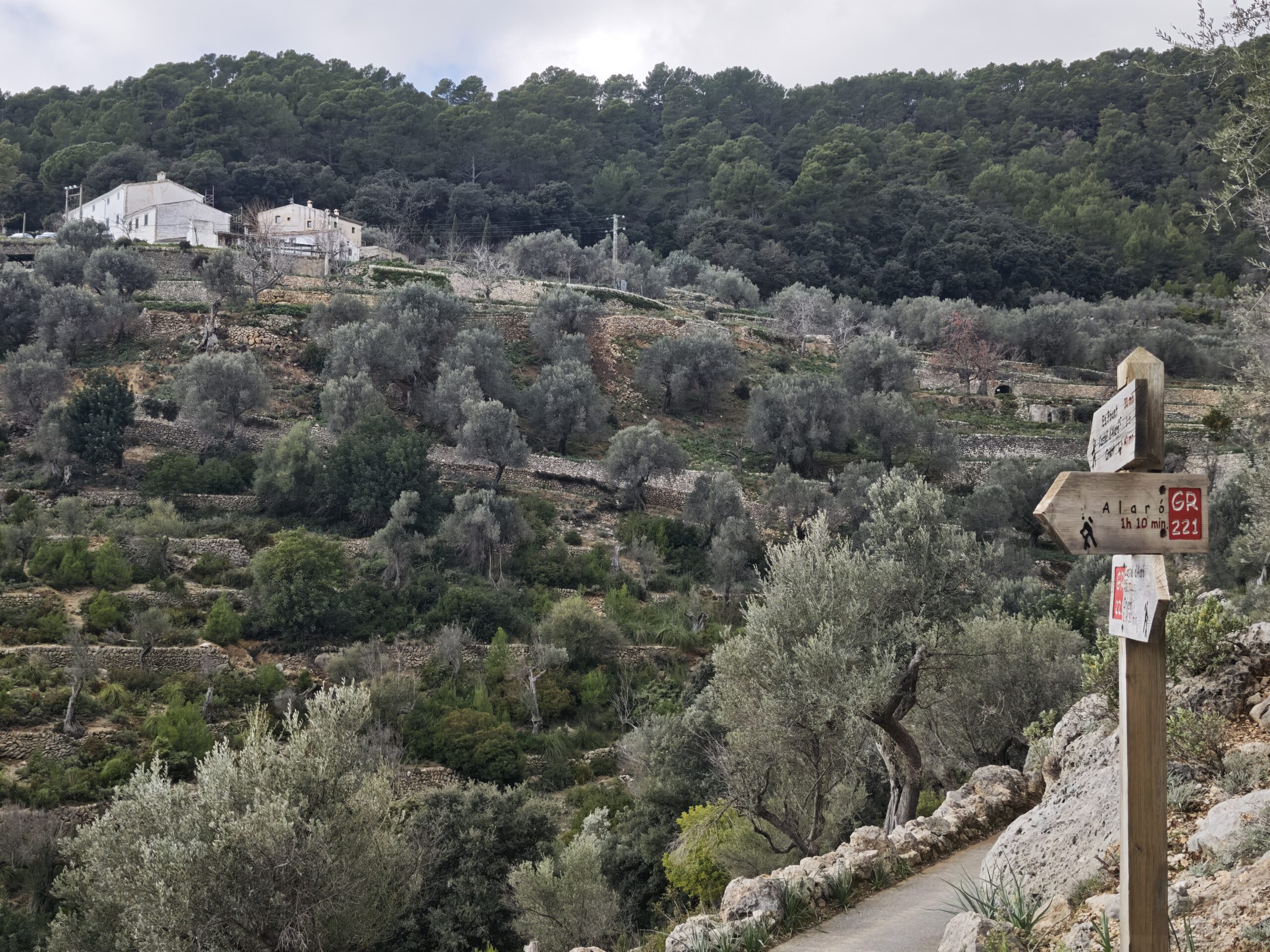
You have two options: for the longer route, park down at the foot of the path ( 39.714299, 2.800935) and walk the entire set of switchbacks. For the shorter loop, you need to drive up the switchbacks (caution: narrow) and can park up by the restaurant ( 39.729289, 2.788621).
Assuming you have the endurance for the length of the route, the loop is quite easy to walk. In terms of character, it is reminiscent of the hike to Puig de Maria: first paved switchbacks and then steps cut into the rock. It is not suitable for strollers, but fine for children.
Starting from the lower parking area, you should plan around 4 hours — breaks and photo stops are not included in that. The upper loop should take just under 2 hours.
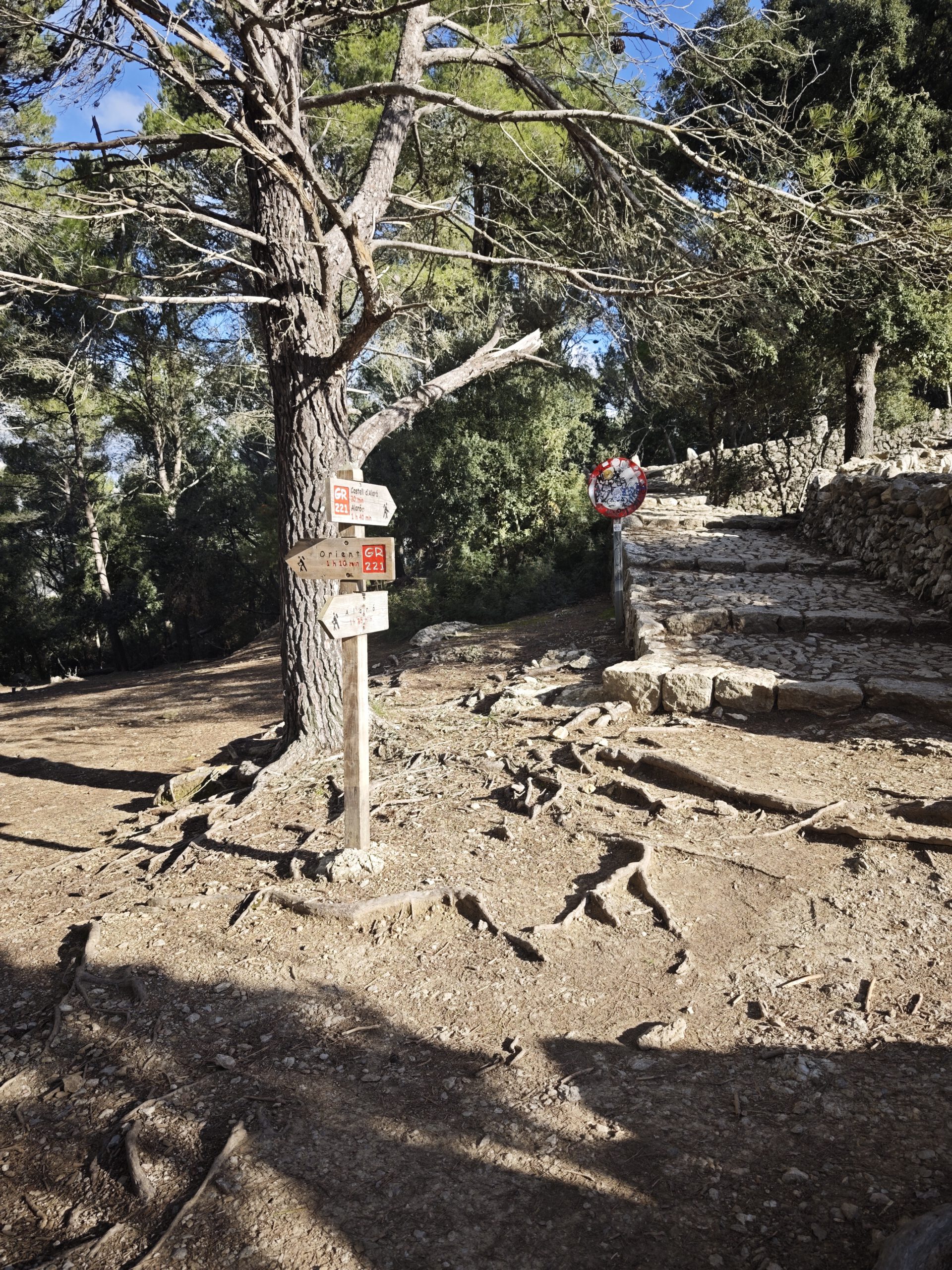
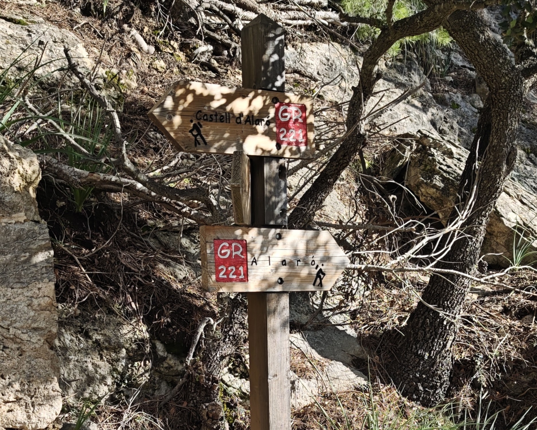
Hardly, as you mostly follow one path that is also signposted here and there. Still, it of course makes sense to use our maps and track the route.
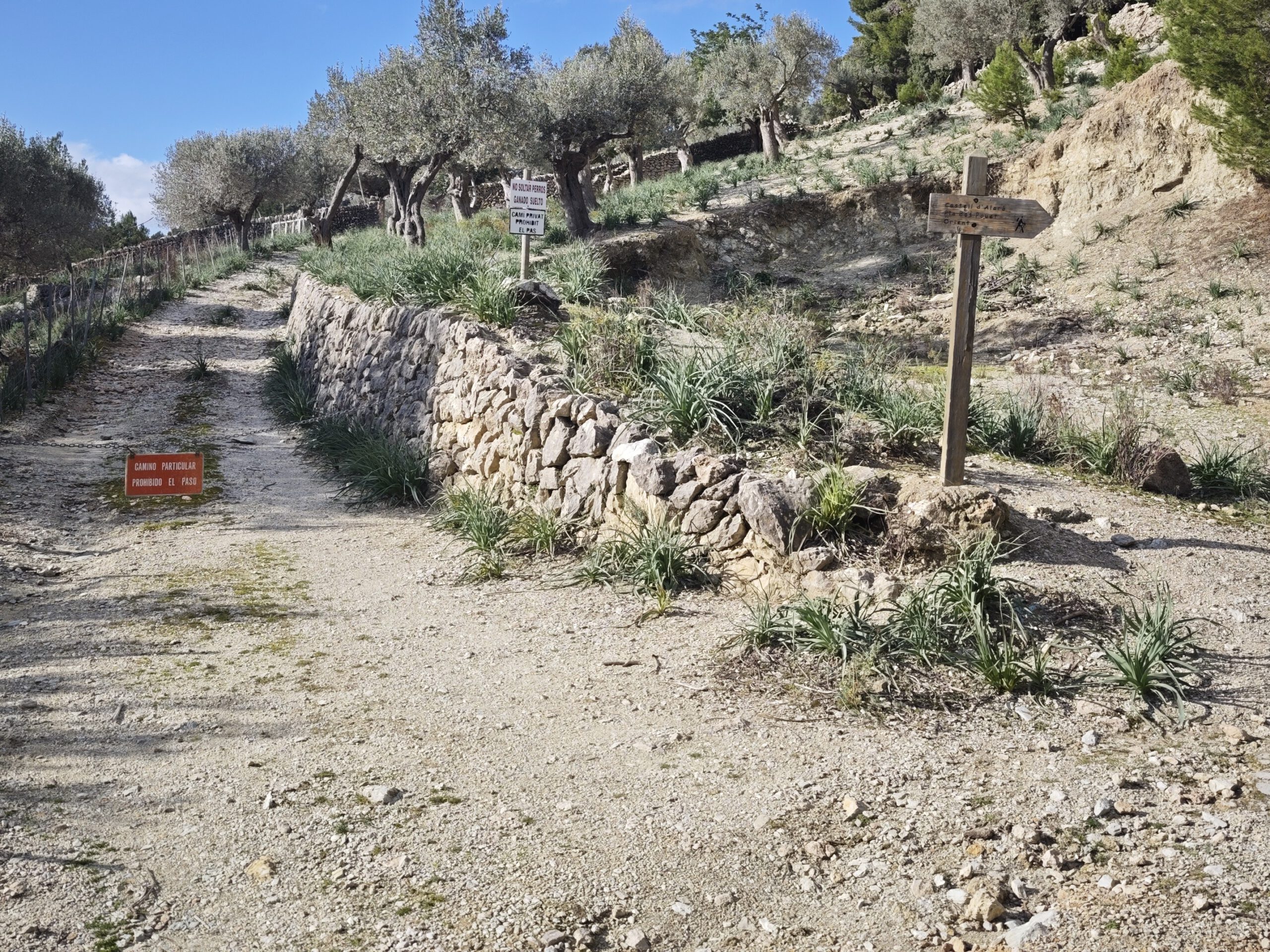
Here and there, private paths branch off from the route, but the hiking trail itself is freely and publicly accessible
Yes! At the restaurant Es Verger halfway up, and also at the hostelry at the summit. However, this is not available year-round, so it makes sense to check the websites in advance.
“Highlights” is a big word — but for a loop that is not exactly an adventure hike, it does offer quite a lot. This includes, of course, the castle ruins, but also the view towards Palma and of the highest peaks of the Tramuntana.
The most important thing is probably not to mess up with your car: the winding roads are well paved, but very narrow. If you’re not good at maneuvering or have trouble driving in reverse, it’s best to leave your car at the bottom!
Weather on the Castell d’Alaro hike
We provide a 24-hour forecast for planning your Castell d’Alaro hike — including temperature, rain, sunshine, cloud cover, plus wind speed and wind direction, for both the start point and the destination.
Check the Weathermap FAQ for more details about the weather data!
Who’s behind Mallorca-Touren? Learn more here!
Have you done this hike and have additional notes? Send us a message!
Questions about the hikes, the maps, or what we offer? Find answers here!
We provide our hiking maps with a lot of care and genuine joy. If you truly like what we’re building here, we’d be very grateful for a donation!