

Puig Roig hike
Route overview around Puig Roig
The Puig Roig is a challenging hike in the Tramuntana mountains near Lluc, offering spectacular views. Here you’ll find a map and GPX file, as well as a clear assessment of the difficulty and navigation requirements—so you can hike the route independently and without any guesswork.
Below, you’ll find the route that leads to the summit of Puig Roig.
Highlights of the hike around Puig Roig
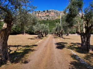
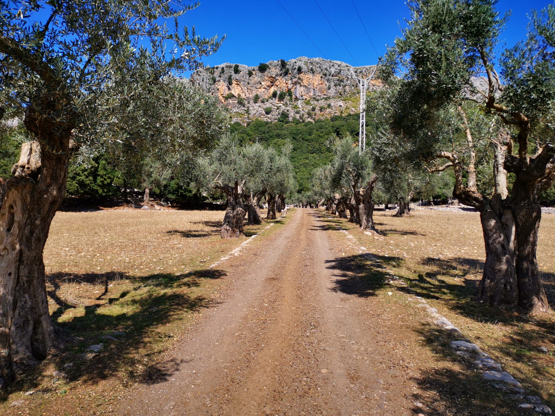
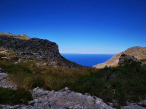
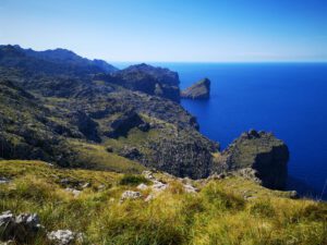
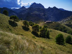
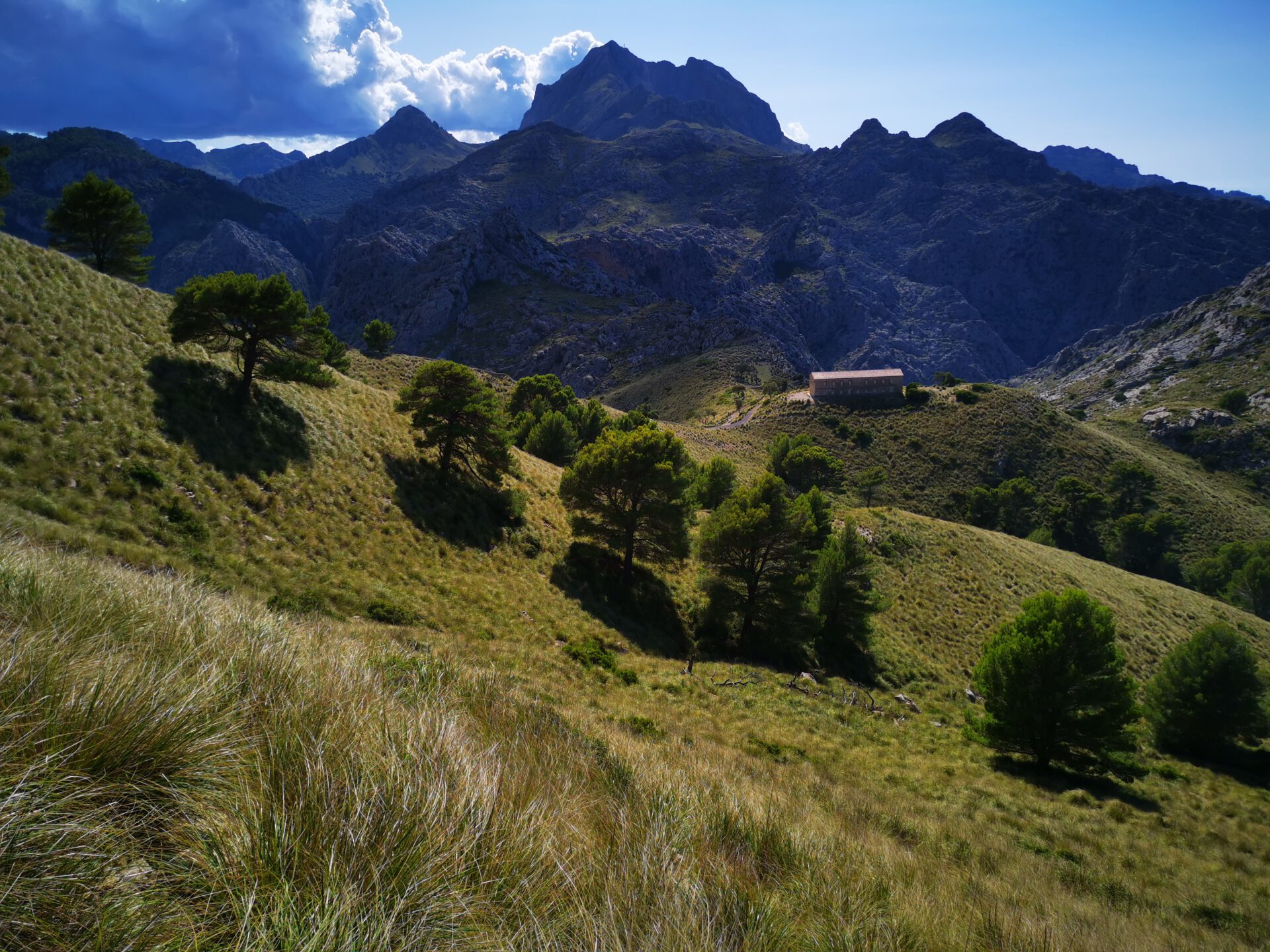
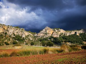
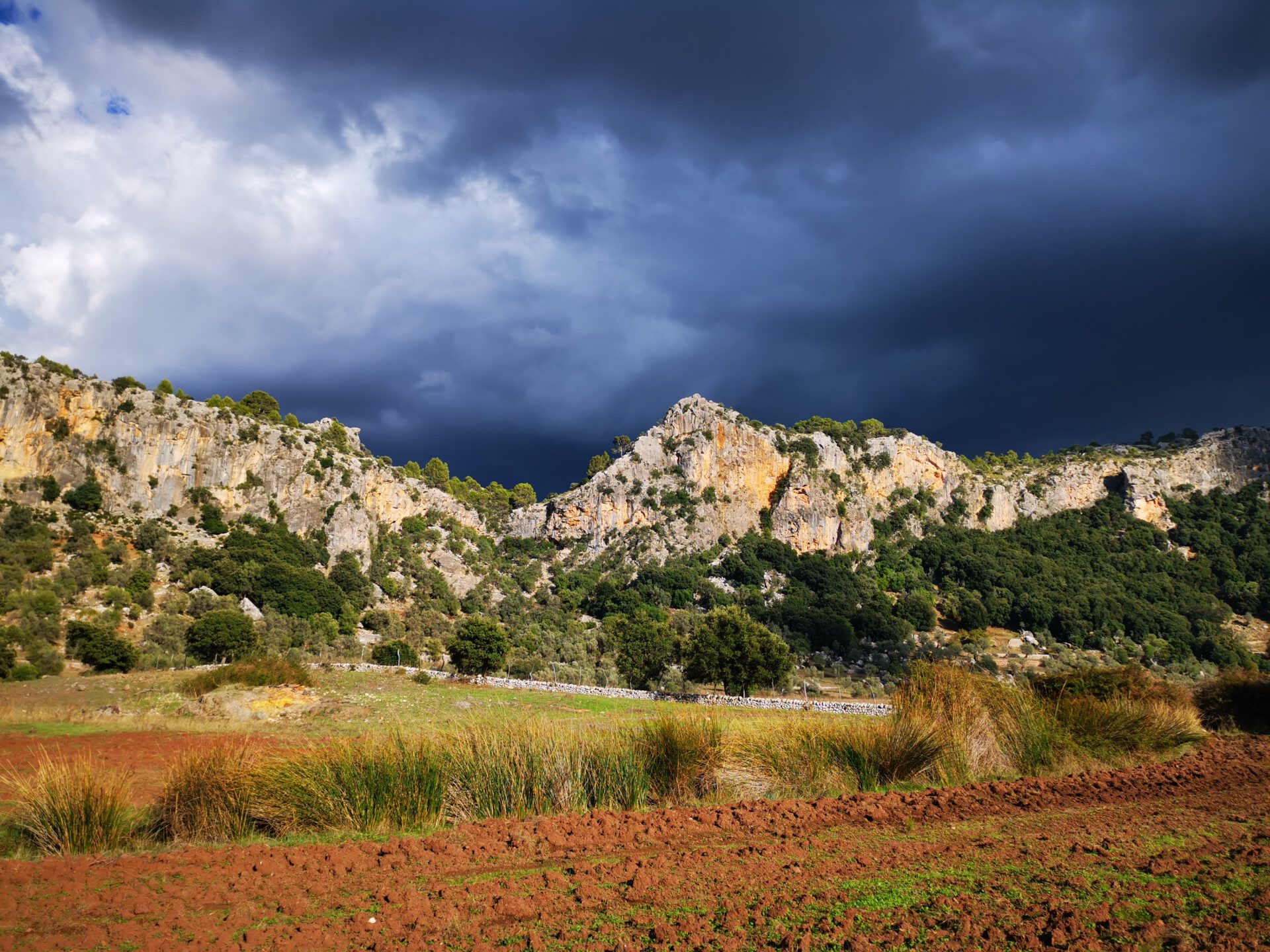
The entire route offers stunning views all along the way. The section along the coast is particularly impressive! And, of course, a visit to the imposing Lluc Monastery is a must on this route!
What to keep in mind
The tour requires a certain amount of stamina, mainly due to its length. Parts of the route pass through tall, sharp-edged grass that can leave marks on the skin (long pants or leg gaiters are recommended for protection if you have sensitive skin).
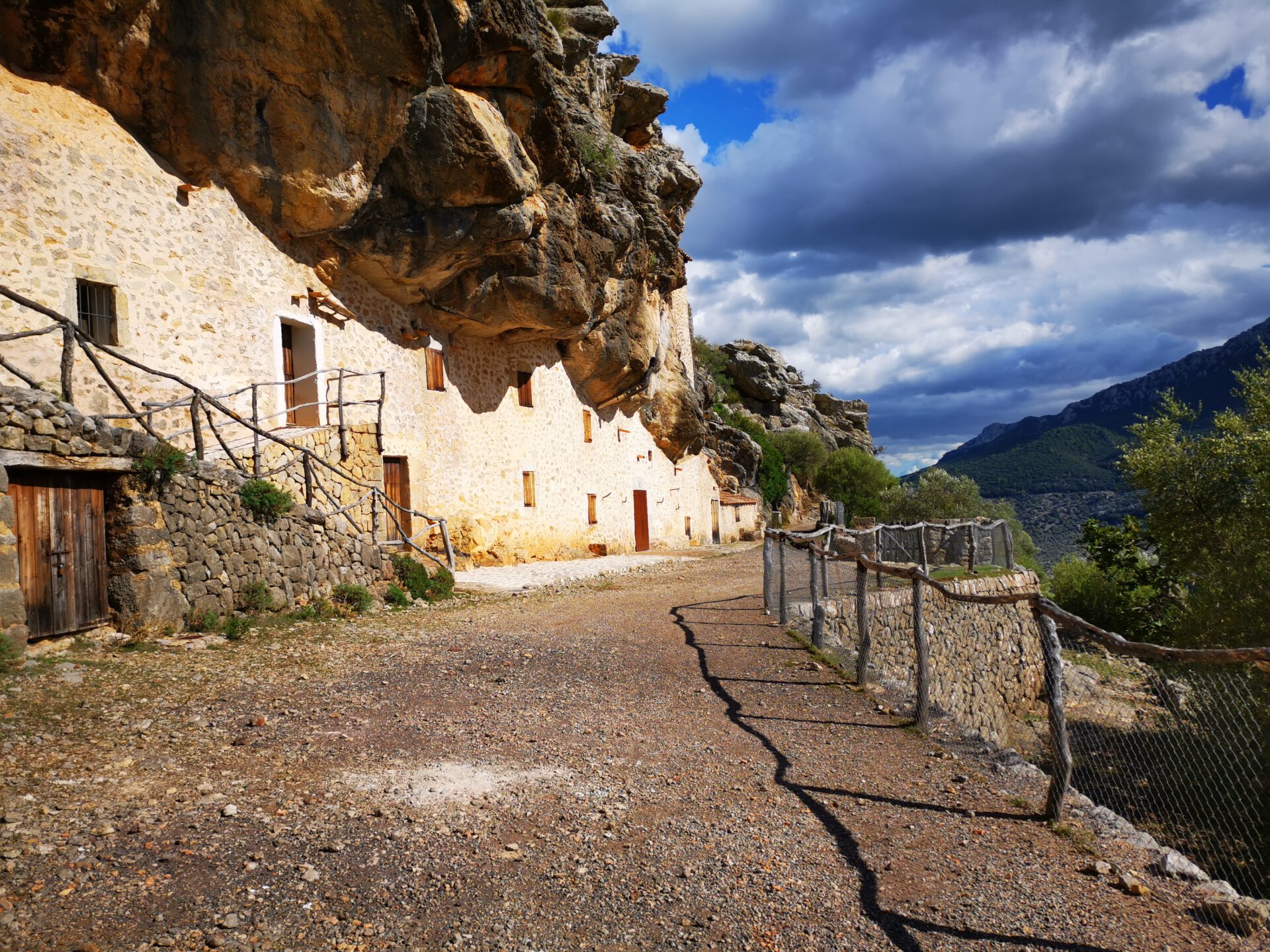
The tour passes through the grounds of Finca Mossa, which is only open on Sundays. The tour is therefore limited to Sundays, which means that you’ll encounter more people here in good weather than on other tours.
starting point
Usually Lluc Monastery ( 39.820124, 2.884196).
Alternative starting point: Free parking lot on the MA-10 ( 39.836787, 2.897521).
WANT MORE HIKES LIKE THIS?
Then take a look at our overview of all hikes on Mallorca! This route is part of our hikes in the Tramuntana m ountains. Also, Puig Roig belongs to the highest summits of the Tramuntana.
Route overview to Puig Roig
Highlights of the hike to Puig Roig
This route also offers stunning views of the rugged coastline!
What to keep in mind
The tour also passes through the private grounds of Finca Mossa and is therefore only accessible on Sundays. After leaving the trail shortly past Col des Ases, the ascent follows mostly unpaved paths that require sure-footedness.
starting point
Free parking lot on the MA-10 ( 39.836787, 2.897521).
Alternative starting point: Lluc Monastery ( 39.820124, 2.884196).
WANT MORE HIKES LIKE THIS?
Then take a look at our overview of all hikes on Mallorca! This route is part of our hikes in the Tramuntana mountains. Also, Puig Roig belongs to the highest summits of the Tramuntana.
-
- Puig_Roig_Finca_Mossa
-

- Puig_Roig_01

-
- Puig_Roig_02

-
- Puig_Roig_03
-

- Puig_Roig_04
-
- Puig_Roig_05

-
- Puig_Roig_06
-

- Puig_Roig_Gipfel
FREQUENTLY ASKED QUESTIONS ABOUT THE hike around and to Puig Roig
Usually at Lluc Monastery — subject to a charge — ( 39.820124, 2.884196); the alternative starting point is on the MA-10 — free of charge — ( 39.836787, 2.897521).
Yes – this route is only available on Sundays, as it passes through private property belonging to Finca Mossa. No registration is required, but please be sure to treat the property with respect.
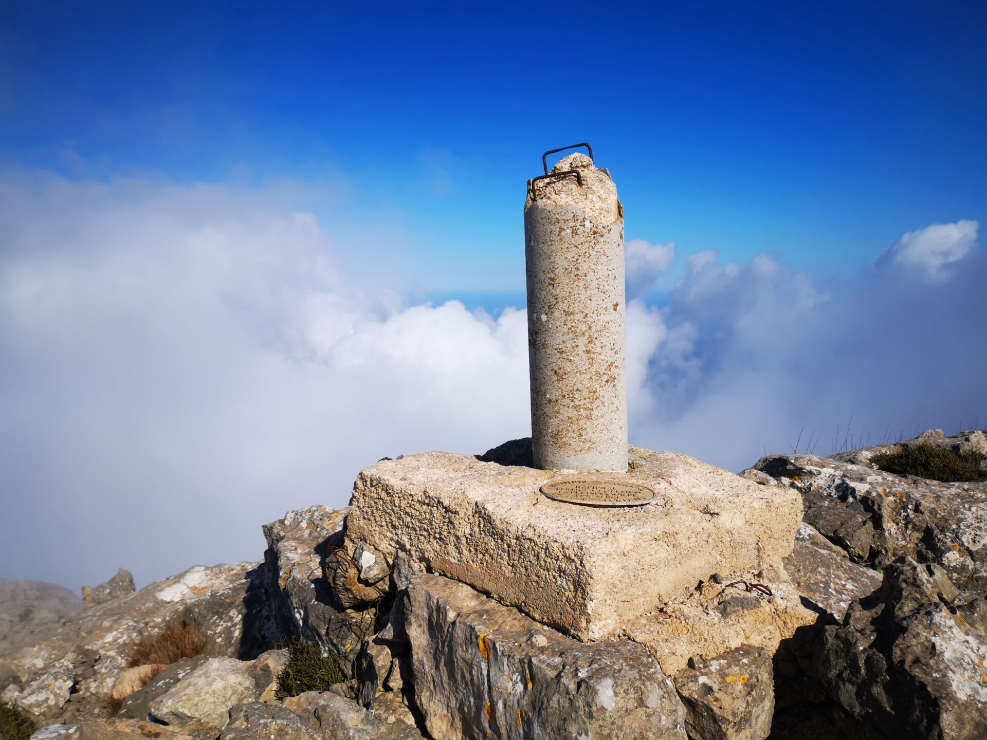
The ascent up Puig Roig is significantly more challenging than the loop hike: it’s technically demanding, partly off-trail, and requires a good sense of direction and mountain experience. Sure-footedness is absolutely essential here.
The hike around Puig Roig takes about 6 to 7 hours of pure walking time. The ascent to the summit is a bit shorter but steeper—you should allow 3 to 4 hours for this.
No—access is permitted on Sundays. On all other days, the gate is closed.
No — there are no places to stop for refreshments on either tour. Take enough water and food with you.
Puig Roig is one of Mallorca’s most striking mountains, rising directly above the sea. The hike offers spectacular views, ancient trails, and tales of smugglers—and the summit hike also rewards you with a breathtaking view all the way to the Formentor Peninsula. If you park at the monastery, it’s definitely worth stopping by for a visit!
This round-trip hike requires a certain amount of stamina, primarily due to its length. Parts of the trail pass through tall, sharp-edged grass that can leave marks on the skin (long pants or gaiters are recommended for protection if you have sensitive skin). Since the hike is limited to Sundays, you’ll encounter more people here than on other trails when the weather is good.
When undertaking the summit hike, it’s also important to note that after leaving the trail shortly past the Col des Ases, the ascent consists mainly of unpaved paths that require very sure-footedness.
Weather on THE hike around and to Puig Roig
We provide a 24-hour forecast for planning your Puig Roig hike — including temperature, rain, sunshine, cloud cover, plus wind speed and wind direction, for both the start point and the destination.
Check the Weathermap FAQ for more details about the weather data!
Who’s behind Mallorca-Touren? Learn more here!
Have you done this hike and have additional notes? Send us a message!
Questions about the hikes, the maps, or what we offer? Find answers here!
We provide our hiking maps with a lot of care and genuine joy. If you truly like what we’re building here, we’d be very grateful for a donation!