

Fumat Hike
ROUTE OVERVIEW PUIG D’ES FUMAT
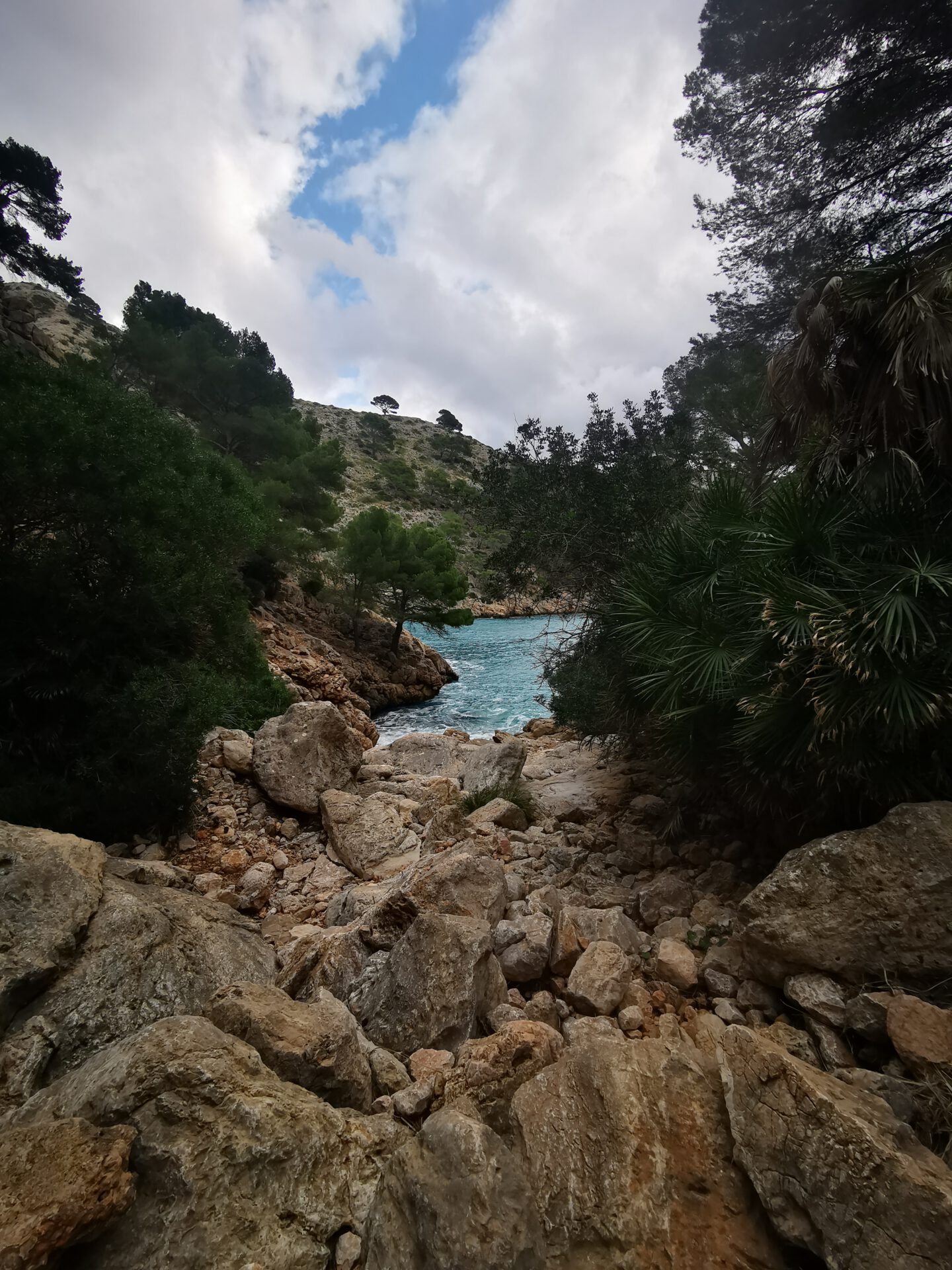
This hike takes you to Puig d’es Fumat on the Formentor peninsula — short, scenic, and ideal if you want great coastal and bay views without a lot of extra fuss. Here you’ll find the route, an interactive map and GPX track, plus our honest assessment of effort and navigation. Especially around Cala en Gossalba, it helps to keep a close eye on the line — with the map in your browser and the GPX as a backup, you’ll stay relaxed and self-reliant on the trail.
HIGHLIGHTS OF THE FUMAT HIKE
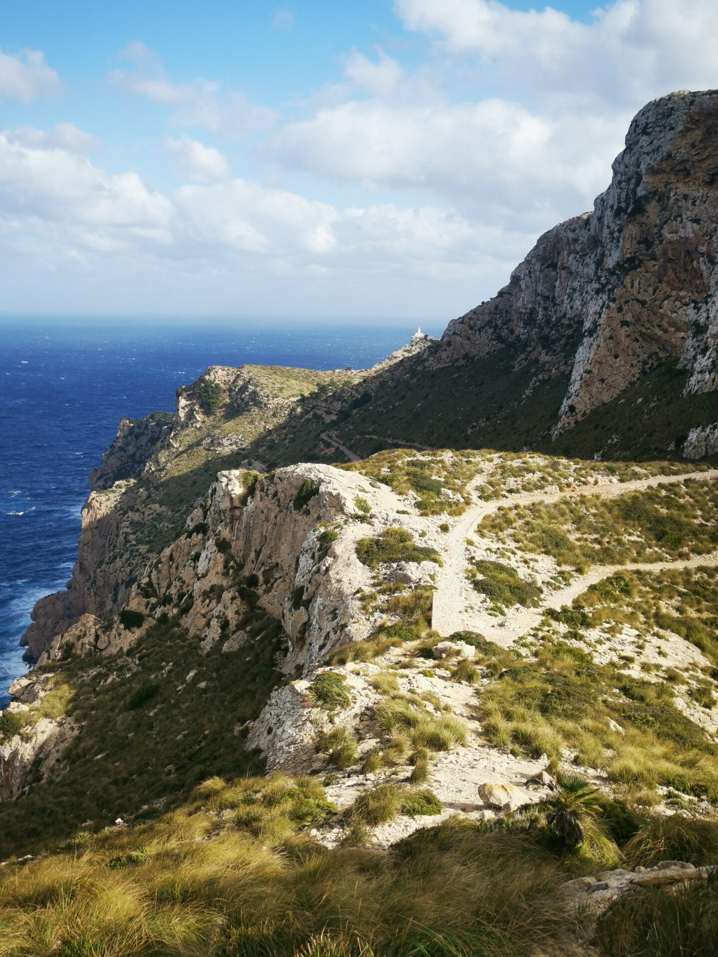
The views over the Formentor peninsula and its bays are stunning!
WHAT TO KEEP IN MIND
Not much — it’s a fairly quiet loop and we hardly met anyone. Around Cala en Gossalba, however, you’ll want to pay attention so you don’t lose the path.
STARTING POINT
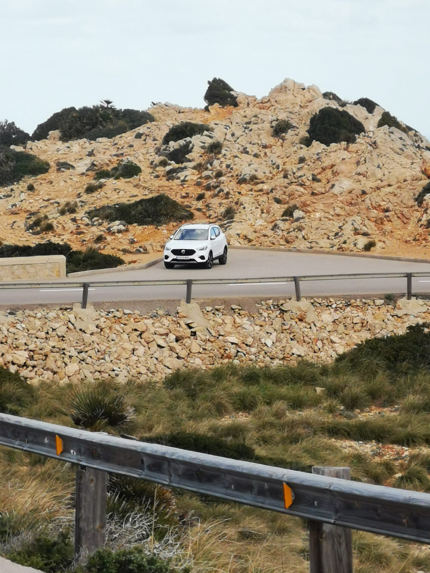
At the Mirador al Far de Formentor parking area ( 39.954197, 3.189597). The parking lot is very small!
WANT MORE HIKES LIKE THIS?
Then take a look at our overview of all hikes on Mallorca! This route is part of our hikes in the Tramuntana m ountains.
This route was also featured in our Best of Mallorca guide to Tramuntana hikes.
FUMAT HIKE - SHORT ROUTE GUIDE

FREQUENTLY ASKED QUESTIONS ABOUT THE FUMAT HIKE
At the Mirador al Far de Formentor parking area ( 39.954197, 3.189597). The parking lot is very small!
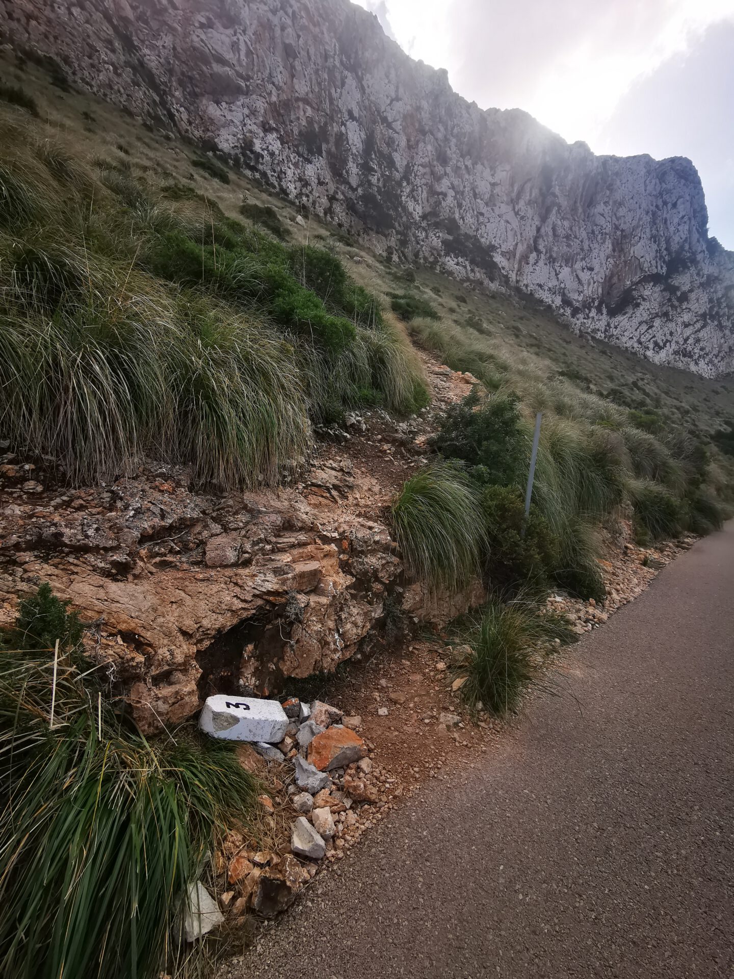
The hike is moderate. There are a few unmarked sections and a short, steep climb up to the summit. Sure-footedness is required, especially around Cala en Gossalba.
The pure hiking time is about 2.5 hours. Including breaks and photos, plan for 3–4 hours in total.
The route isn’t marked the whole way. Thanks to the interactive 2D map with live location and the photo-based route description, it’s still very manageable.
No! Like all our routes, you can open it directly in your browser with GPS location — no app and no account needed. Just make sure you have enough battery life or bring a power bank for your phone.
The views over the Formentor peninsula and its bays are stunning!
Not much — it’s a fairly quiet loop and we hardly met anyone. Around Cala en Gossalba, however, you’ll want to pay attention so you don’t lose the path.
WEATHER ON THE FUMAT HIKE
We provide a 24-hour forecast for planning your Fumat hike — including temperature, rain, sunshine, cloud cover, plus wind speed and wind direction, for both the start point and the destination.
Check the Weathermap FAQ for more details about the weather data!
Who’s behind Mallorca-Touren? Learn more here!
Have you done this hike and have additional notes? Send us a message!
Questions about the hikes, the maps, or what we offer? Find answers here!
We provide our hiking maps with a lot of care and genuine joy. If you truly like what we’re building here, we’d be very grateful for a donation!