

Massanella hike
ROUTE OVERVIEW SOUTH SLOPE OF Puig de Massanella
This hike takes you via the south slope to Puig de Massanella — the highest accessible summit on Mallorca. Here you will find the route, map and GPX track, plus our honest assessment of the difficulty, orientation and highlights.
Highlights of the Massanella hike via the south slope
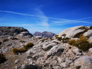
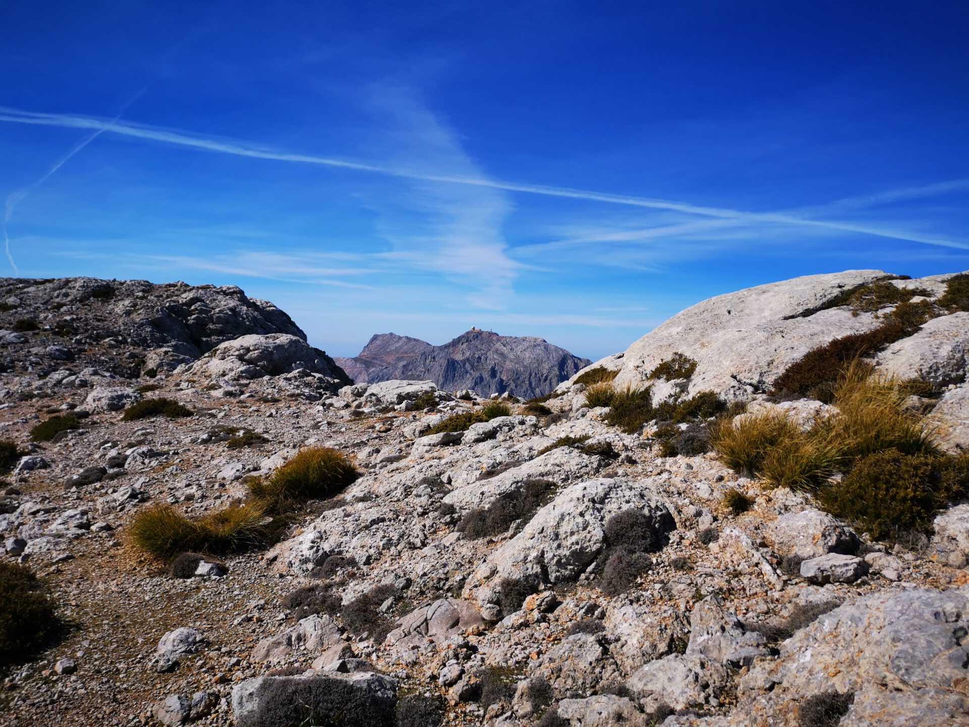
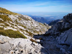
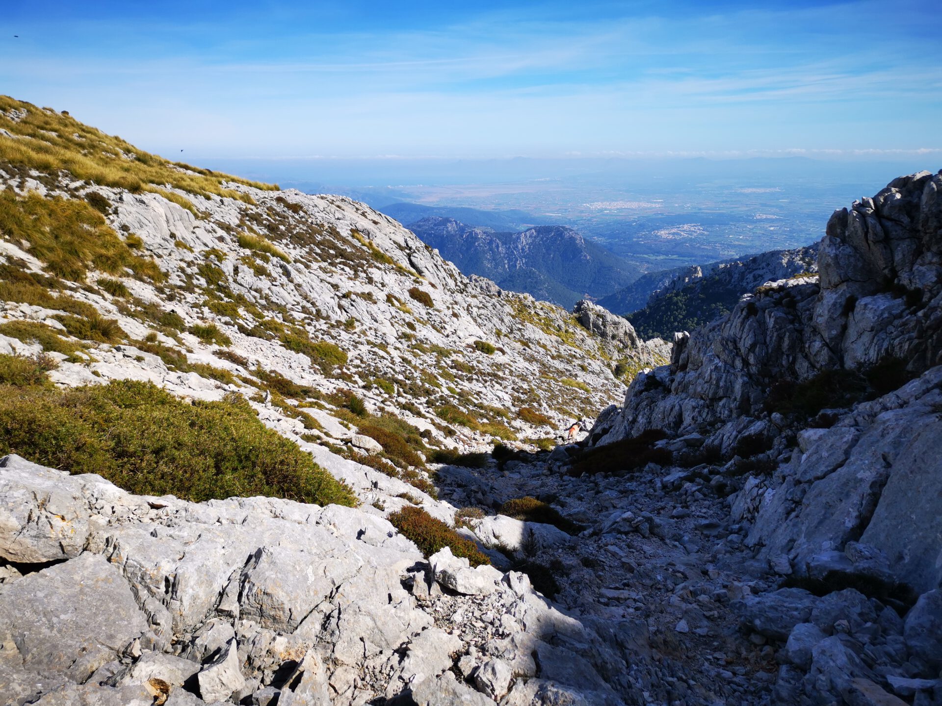
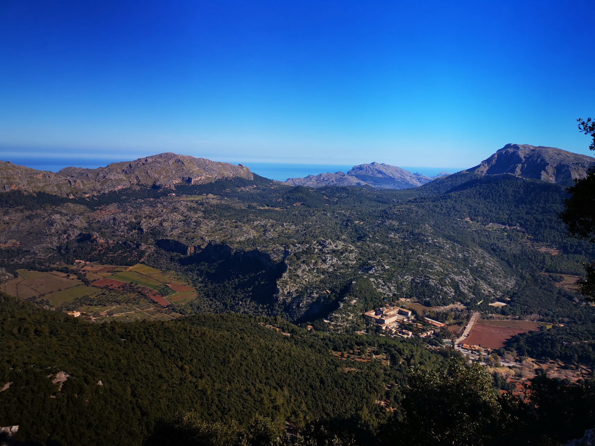
Massanella is one of the highest accessible summits in the Tramuntana and therefore guarantees the best imaginable view. Another highlight is the ascent and descent via the rocky flanks of the summit.
What to keep in mind
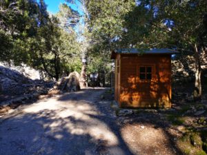
At the Finca Comafreda, a toll fee of 6€ per person is charged for most of the year. So it is best to have some cash with you.
Attention! On the summit there are unsecured, shaft-like holes several metres deep with several square metres of surface area. These are remains of the snow houses formerly used there. Caution is required so as not to fall in.
Starting point
At Col de la Batalla, opposite the petrol station ( 39.812426, 2.889486).
WANT MORE HIKES LIKE THIS?
Then take a look at our overview of all hikes on Mallorca! This route is part of our hikes in the Tramuntana m ountains. Also, the Massanella belongs to the highest summits of the Tramuntana.
This route was also featured in our Best of Mallorca guide to Tramuntana hikes.
ROUTE OVERVIEW north slope SLOPE OF Puig de Massanella (via Galileu)
The north-slope route via Puig de Galileu is a varied tour, steep in places, up to Puig de Massanella. Here you get map & GPX, tour data and an honest assessment — including a note on orientation, because the turn-off to Galileu at Col de la Batalla is easy to miss.
Highlights of the Massanella hike via the North slope
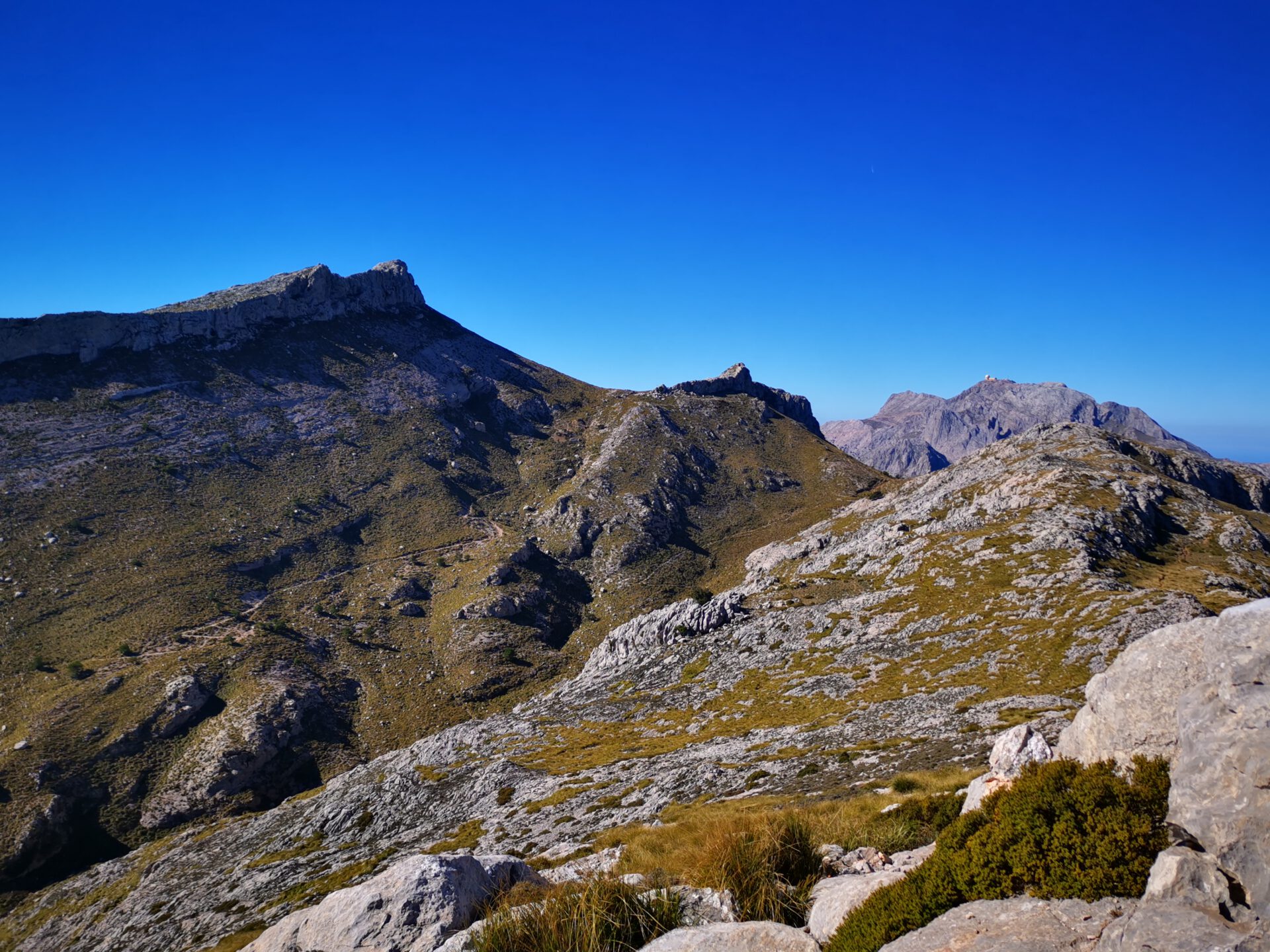
The route via Puig de Galileu is a real highlight for Jörn and is one of his favourite tours! Besides the view from Puig de Massanella, here you first get a rugged ascent to Galileu with a view over the rocky edge towards Kloster Lluc. In addition, the valley between Massanella and Galileu is wonderfully quiet, and it is followed by a steep ascent to Puig de Massanella with beautiful scrambling sections.
What to keep in mind
Access to Galileu from Col de la Batalla is not signposted. From the car park you have to go about 100 m in the north direction (towards Kloster Lluc) and then turn left into the forest. You will soon see the first stone cairns there.
The ascent to Massanella is quite steep, but well marked by stone cairns.
This tour also leads through the Finca Comafreda, where a toll fee of 6€ per person is charged.
Starting point
At Col de la Batalla, opposite the petrol station ( 39.812426, 2.889486).
WANT MORE HIKES LIKE THIS?
Then take a look at our overview of all hikes on Mallorca! This route is part of our hikes in the Tramuntana mountains. Also, the Massanella belongs to the highest summits of the Tramuntana.
This route was also featured in our Best of Mallorca guide to Tramuntana hikes.
-
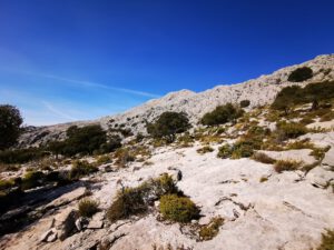
- Massanella 01
-

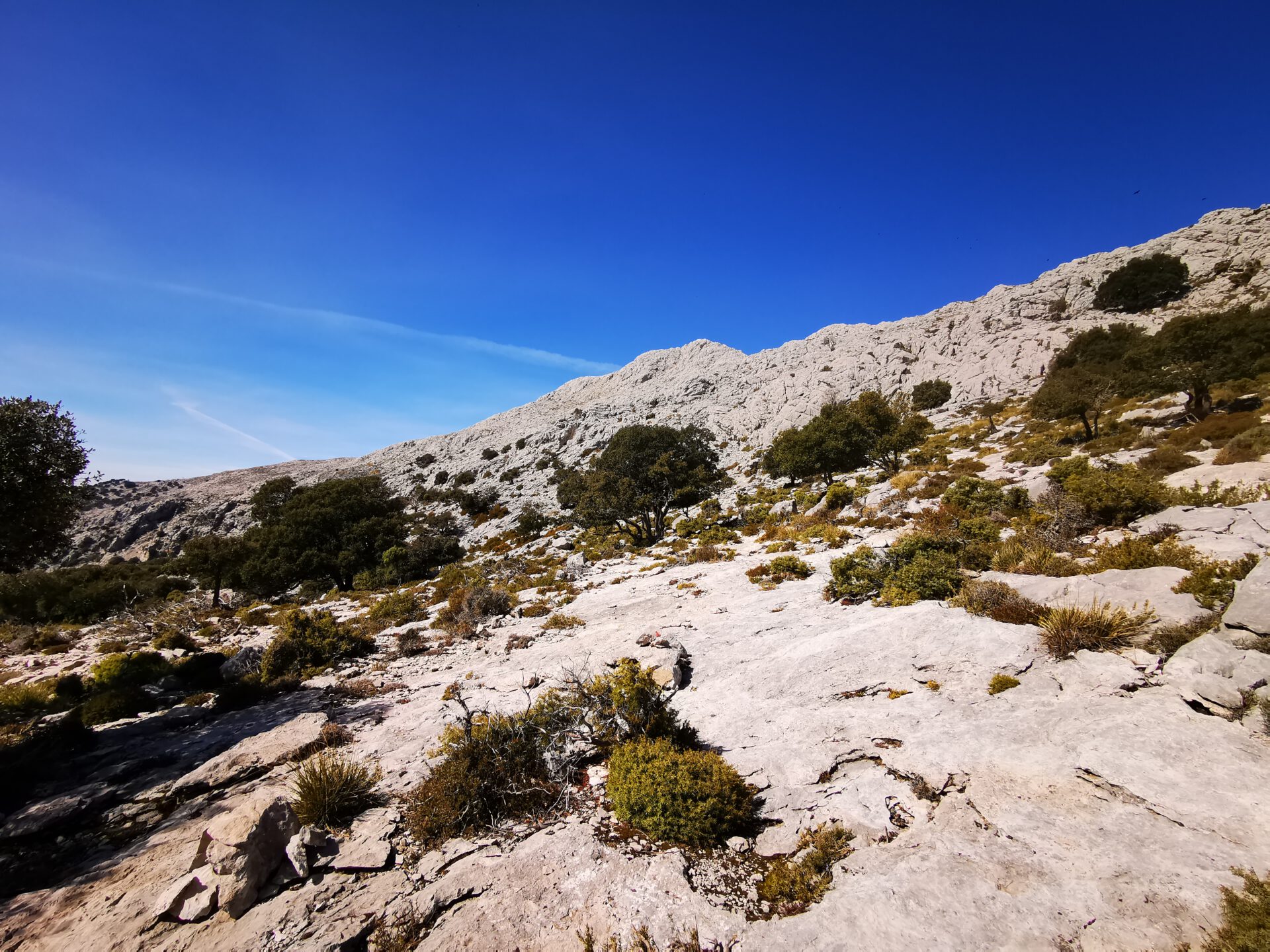
- Massanella 02
-
- Massanella – Blick auf den Puig Major
-
- Massanella Gipfel

-
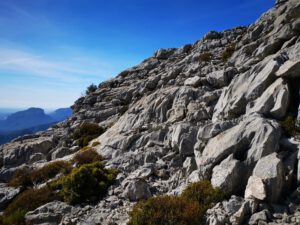
- Massanella 03
-

- Massanella – Blick auf Kloster Lluc
-

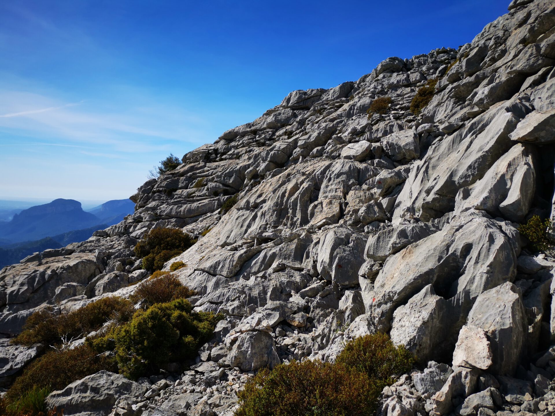
- Massanella 04
-
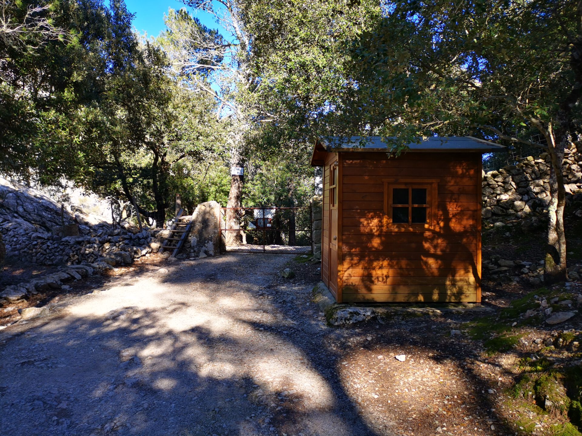
- Massanella – Kassenhaus
FREQUENTLY ASKED QUESTIONS ABOUT THE Massanella hikes
At Col de la Batalla, opposite the petrol station ( 39.812426, 2.889486).
The tour is definitely one of the more difficult ones, whereby the tour via the north slope is somewhat more difficult than the one via the south slope. This is due not only to the rocky ascents, but also to the fairly steep climbs in some sections. Above the tree line, there is also no more shade and you are exposed to the wind.
The pure walking time is about 3–4 hours. For breaks and photos, you should allow at least one more hour.
The route is not marked continuously. Thanks to the interactive 2D map with live location and illustrated route description, it is still quite manageable.
No! Like all our routes, you can access the route directly in the browser with GPS location — without an app or registration. Just make sure you bring enough battery life or take a power bank for your smartphone with you.
No, the tours are completely self-supplied. Only at the start/finish point you can, if necessary, still stock up on the essentials at the petrol station at Col de la Batalla.
You should not do the route with small children because of the difficulty level. For older children with hiking experience and stamina, it may also be suitable.
Massanella is one of the highest accessible summits in the Tramuntana and therefore guarantees the best imaginable view. Another highlight is the ascent and descent via the rocky flanks of the summit and the peace and quiet you experience there.
At the Finca Comafreda, a toll fee of 6€ per person is charged for most of the year. So it is best to have some cash with you. Attention! On the summit there are unsecured, shaft-like holes several metres deep with several square metres of surface area. These are remains of the snow houses formerly used there. Caution is required so as not to fall in.
Weather on the Massanella hikes
We provide a 24-hour forecast for planning your Massanella hike — including temperature, rain, sunshine, cloud cover, plus wind speed and wind direction, for both the start point and the destination.
Check the Weathermap FAQ for more details about the weather data!
Who’s behind Mallorca-Touren? Learn more here!
Have you done this hike and have additional notes? Send us a message!
Questions about the hikes, the maps, or what we offer? Find answers here!
We provide our hiking maps with a lot of care and genuine joy. If you truly like what we’re building here, we’d be very grateful for a donation!