

Cala MÀrmols hike
Route overview Cala MÀrmols
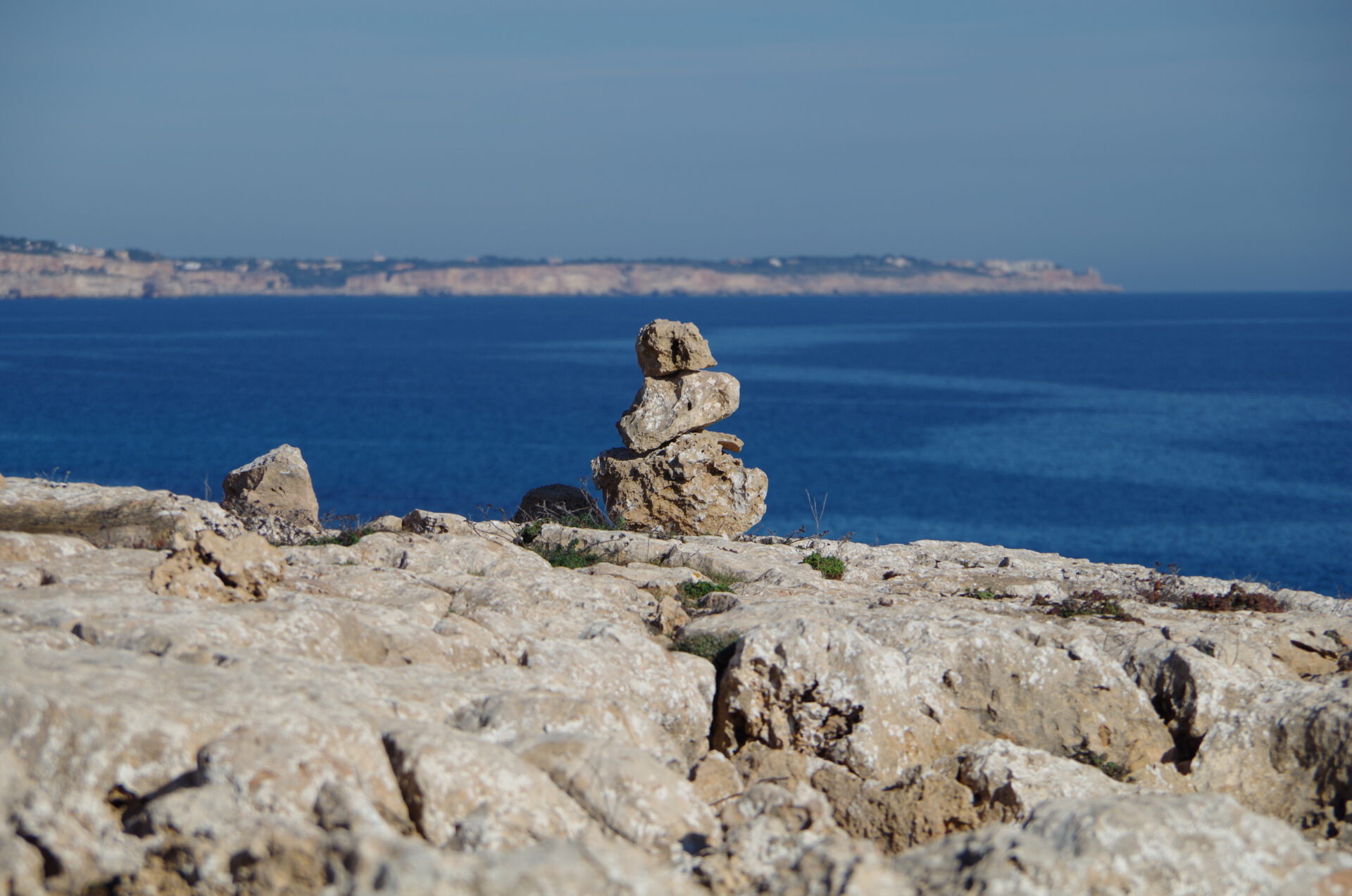
This tour takes you to Cala Màrmols on the wild southeast coast — an easy, but quite rewarding loop if you want to be away from Mallorca’s hotspots. Here you’ll find the route, an interactive map and a GPX track, plus our honest assessment of orientation and the short descent down to the bay. The tour starts at Cap de Ses Salines — and with the GPX as a backup you are well covered on the way.
Highlights of the Cala MÀrmols hike
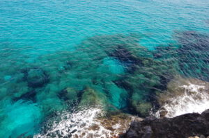
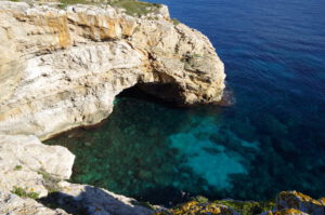
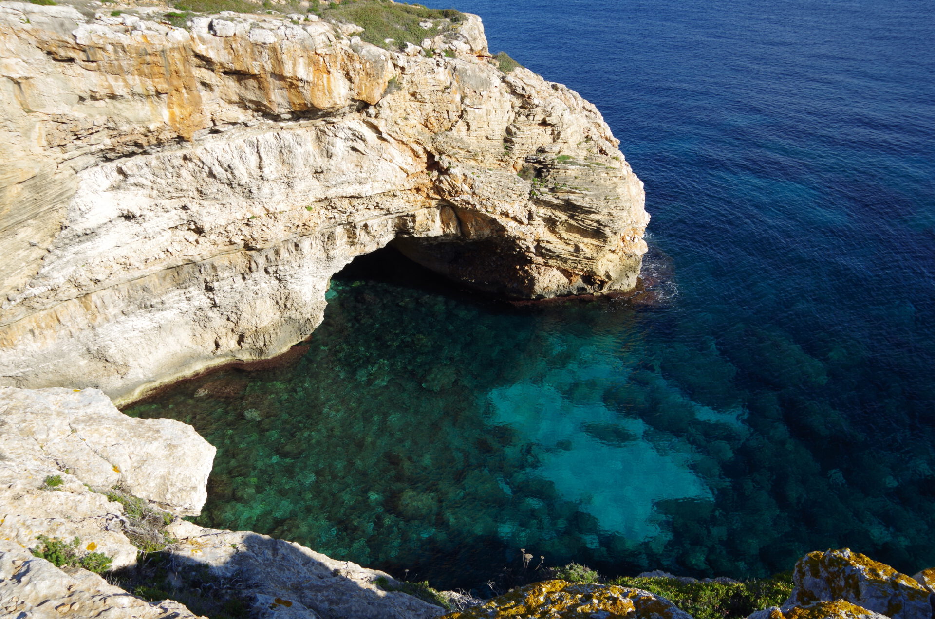
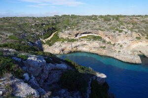
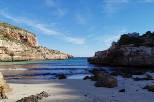
A beautiful bay that, in sunny weather around midday, almost invites you to swim even in winter. Few visitors, as it is not easily accessible by car.
What to keep in mind
An easy path along the cliffs of Mallorca’s southeast coast without any significant elevation differences. Only for access down to the bay (Cala Màrmols) at the end of the tour do you have to climb down the cliffs — and climb back
up again on the return.
starting point
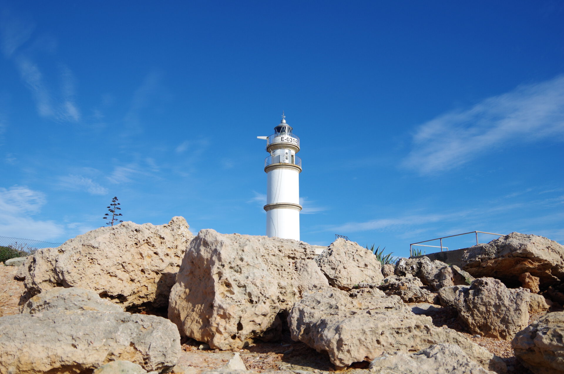
At the lighthouse of Cap de Ses Salines ( 39.265848, 3.052906).
Want more hikes like this?
Then take a look at our overview of all hikes on Mallorca! This tour is part of the coastal hikes and bays on Mallorca.
-

- Cala Marmols 01
-


- Cala Marmols 02
-
- Cala Marmols 03

-

- Cala Marmols 04
-
- Cala Marmols 05
-
- Cala Marmols 06

-
- Cala Marmols 07

-
- Cala Marmols 08

FREQUENTLY ASKED QUESTIONS ABOUT THE HIKE TO CALA MÀRMOLS
The tour starts on the Ma-6110 at an inconspicuous turn-off near the Far del Cap de ses Salines lighthouse. There is no official infrastructure there — park as space-efficiently as possible along the roadside. The coordinates for the lighthouse at Cap de Ses Salines are 39.265848, 3.052906.
Yes — the water is crystal clear, and the small pebble beach is ideal for a refreshing break. Don’t forget your swimwear.
No. The route is mostly sun-exposed and runs over rugged rocks, old cart tracks and open terrain. Drinking water and sun protection are essential — especially in the warm season.
The path is not signposted. With our 2D map and the GPX file you can follow the route reliably. Despite the open terrain, navigation is not entirely trivial because there are many paths — stay as close as possible to the suggested route.
No! Like all our routes, you can open the route directly in your browser with GPS location — without an app or registration. Just make sure you bring enough battery life or a power bank for your smartphone.
The tour is not technically demanding, but it can be quite strenuous due to the sun, the rugged paths and the lack of infrastructure. Families with hiking-experienced children can manage it well — but only with good preparation and enough water.
A beautiful bay that, in sunny weather around midday, almost invites you to swim even in winter. Few visitors, as it is not easily accessible by car.
To access Cala Marmols at the end of the tour, you have to climb down the cliffs and then back up again on the way back.
Weather on the hike to Cala MÀrmols
We provide a 24-hour forecast for planning your Cala Màrmols hike — including temperature, rain, sunshine, cloud cover, plus wind speed and wind direction, for both the start point and the destination.
Check the Weathermap FAQ for more details about the weather data!
Who’s behind Mallorca-Touren? Learn more here!
Have you done this hike and have additional notes? Send us a message!
Questions about the hikes, the maps, or what we offer? Find answers here!
We provide our hiking maps with a lot of care and genuine joy. If you truly like what we’re building here, we’d be very grateful for a donation!