

Santa Magdalena/Son Sastre Hike
Route Overview Puig de Santa Magdalena
This tour takes you up Puig de Santa Magdalena near Inca—an easy loop with well-marked trails and a beautiful destination. Here you’ll find the route, an interactive map, and our overview of difficulty, navigation, and key sections—including the alternative route via Son Sastre. If you find yourself without internet access along the way, you’ll have the GPX track as an offline backup.
Highlights of the hike to Puig de Santa Magdalena and Son Sastre
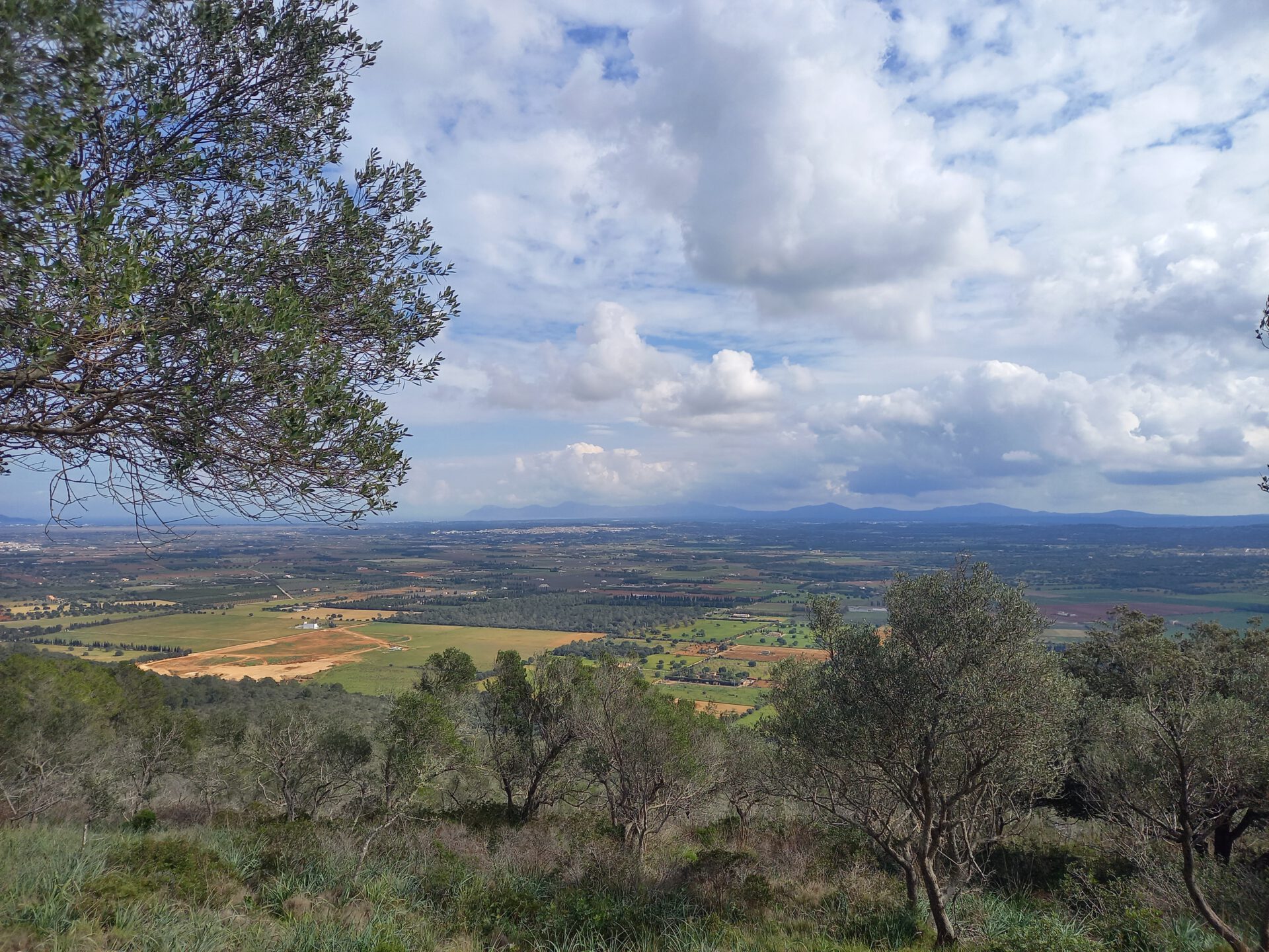
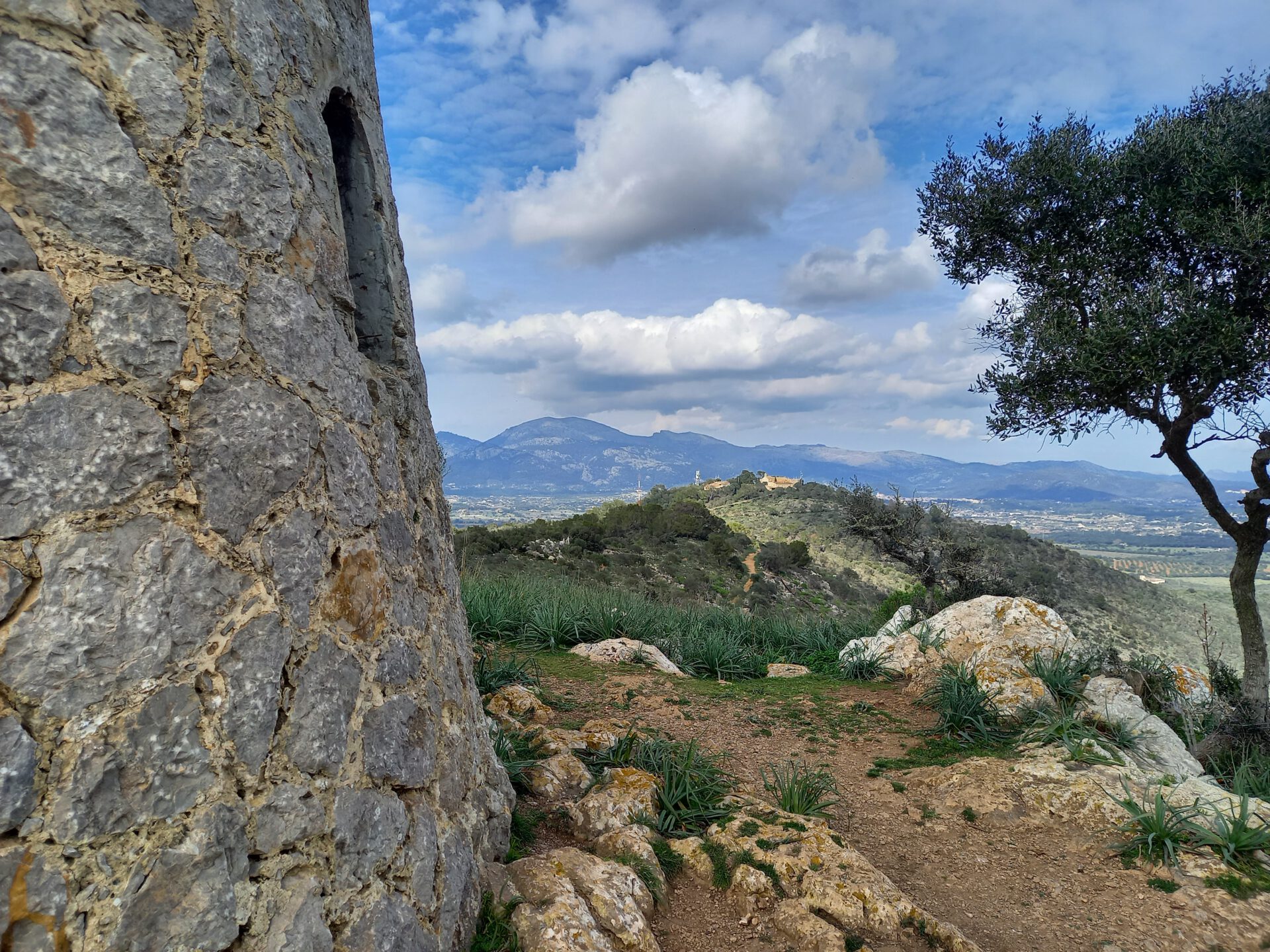
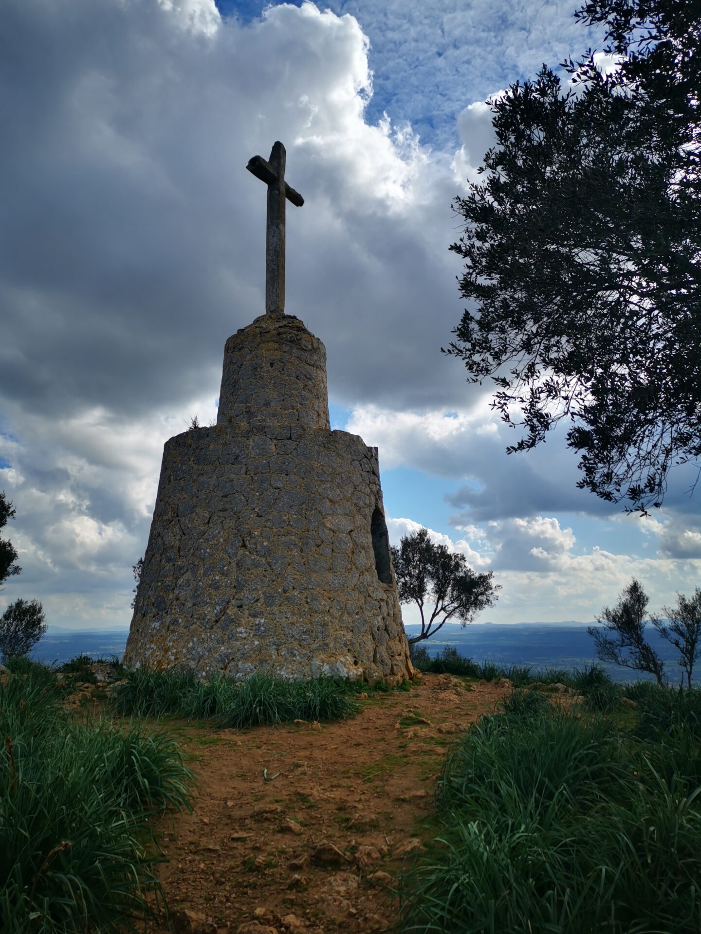
This route is relatively uneventful and therefore ideal for those who want to gradually get used to climbing elevation. In return, you’ll be rewarded with a beautiful view of Inca and the Tramuntana mountain range!
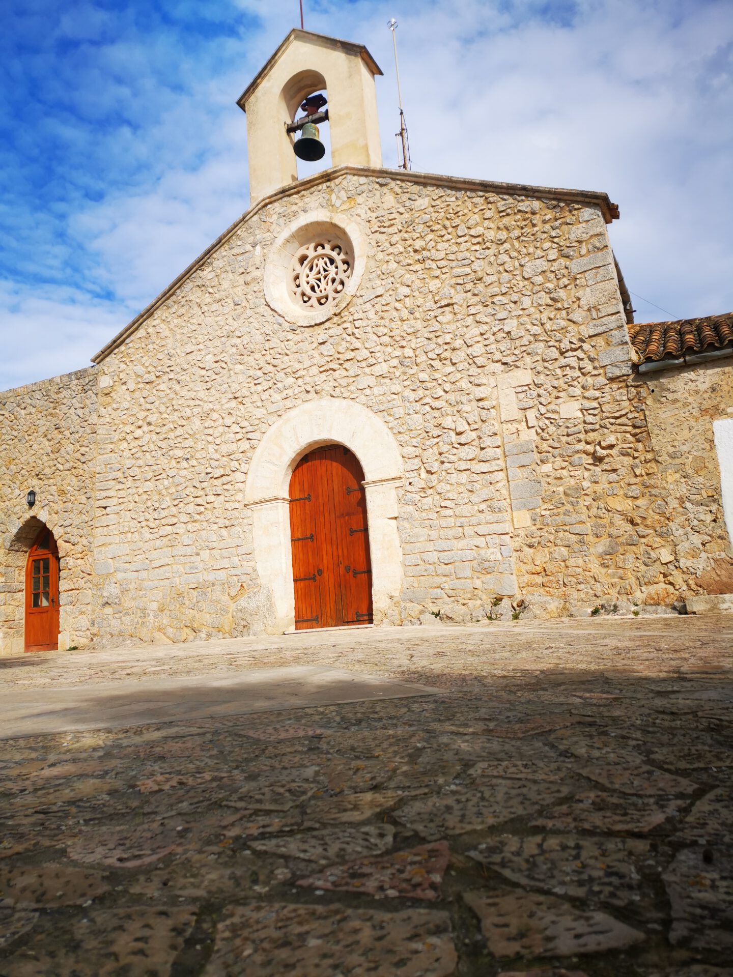
On Son Sastre, there is a restaurant called “Puig de Santa Magdalena”.
What to keep in mind
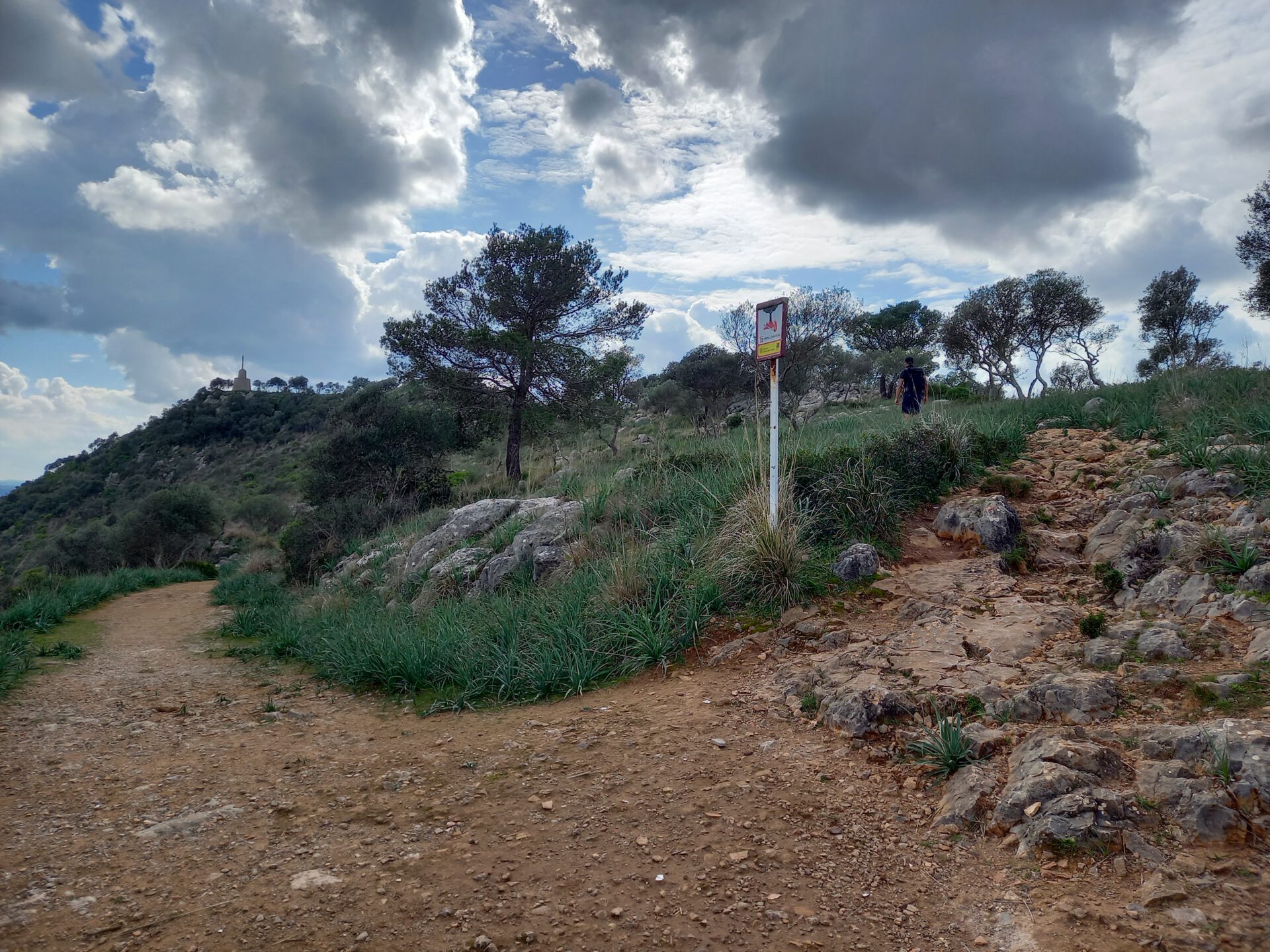
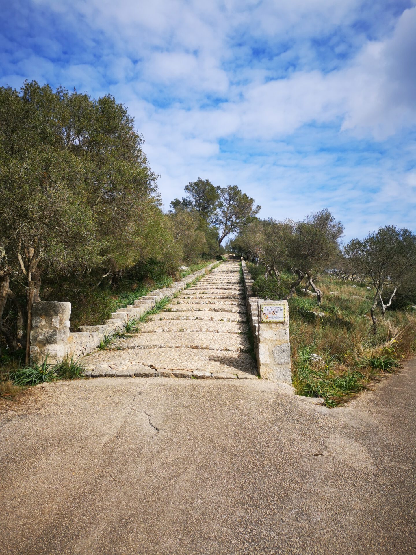
The hike is easy to navigate and follows paved switchbacks up to Son Sastre, which can be shortened at various points by taking stone steps.
From Son Sastre, the route continues along an unpaved hiking trail to Puig de Santa Magdalena. The return route follows a narrow footpath above the outbound trail, which descends relatively steeply through the forest until you
finally reach the paved switchbacks from the ascent, leading back to the starting point.
starting point
At a very small parking lot (max. 3–4 spaces) at a fork in the road ( 39.728543, 2.942869).
WANT MORE HIKES LIKE THIS?
Then take a look at our overview of all hikes on Mallorca! This hike belongs to the solitary mountains in the interior of Mallorca.

FREQUENTLY ASKED QUESTIONS ABOUT THE Son Sastre and the Santa Magdalena Hike
At a very small parking lot (max. 3–4 spaces) at a fork in the road ( 39.728543, 2.942869).
Yes — the route is short, easy and offers enough variety at the top. Ideal for families with children or as a short outing in between.
You should allow about 2 hours in total for both summits.
Yes — on Puig de Son Sastre there is the restaurant “ Puig de Santa Magdalena„. You should check the opening hours in advance.
No. Like all our routes, you can access the route directly in the browser with GPS location — without an app or registration. Just make sure you bring enough battery life or take a power bank for your smartphone with you.
This route is relatively uneventful and therefore ideal for those who want to gradually get used to climbing elevation. In return, you’ll be rewarded with a beautiful view of Inca and the Tramuntana mountain range!
Weather on THE Son Sastre and the Santa Magdalena Hike
We provide a 24-hour forecast for planning your Santa Magdalena/Son Sastre hike — including temperature, rain, sunshine, cloud cover, plus wind speed and wind direction, for both the start point and the destination.
Check the Weathermap FAQ for more details about the weather data!
Who’s behind Mallorca-Touren? Learn more here!
Have you done this hike and have additional notes? Send us a message!
Questions about the hikes, the maps, or what we offer? Find answers here!
We provide our hiking maps with a lot of care and genuine joy. If you truly like what we’re building here, we’d be very grateful for a donation!