

Sant Salvador hike
Route overview Puig de Sant Salvador
This hike leads up Puig de Sant Salvador near Felanitx — short, straightforward and perfect as a compact circular route with views at the monastery. Here you will find the route, map and GPX track — plus our honest assessment of the effort required, orientation and the most sensible starting point along the access road. Ideal if you are looking for a moderate 2-hour tour.
Highlights of the Puig de Sant Salvador hike
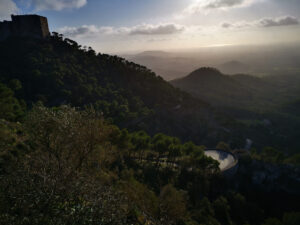
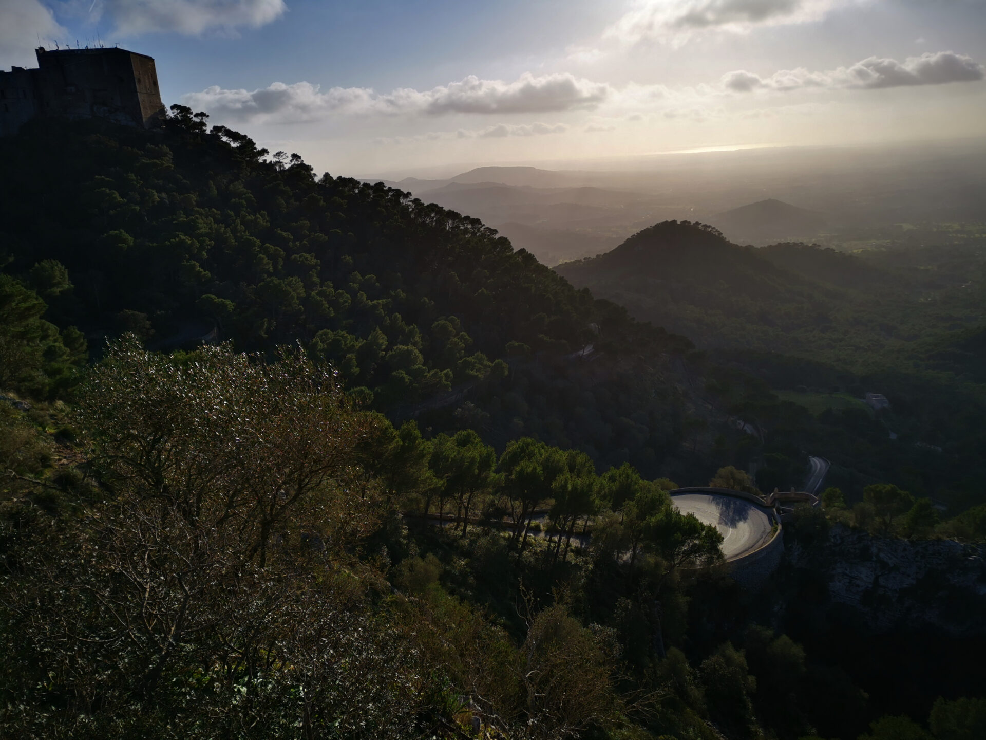
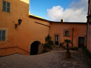
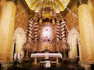
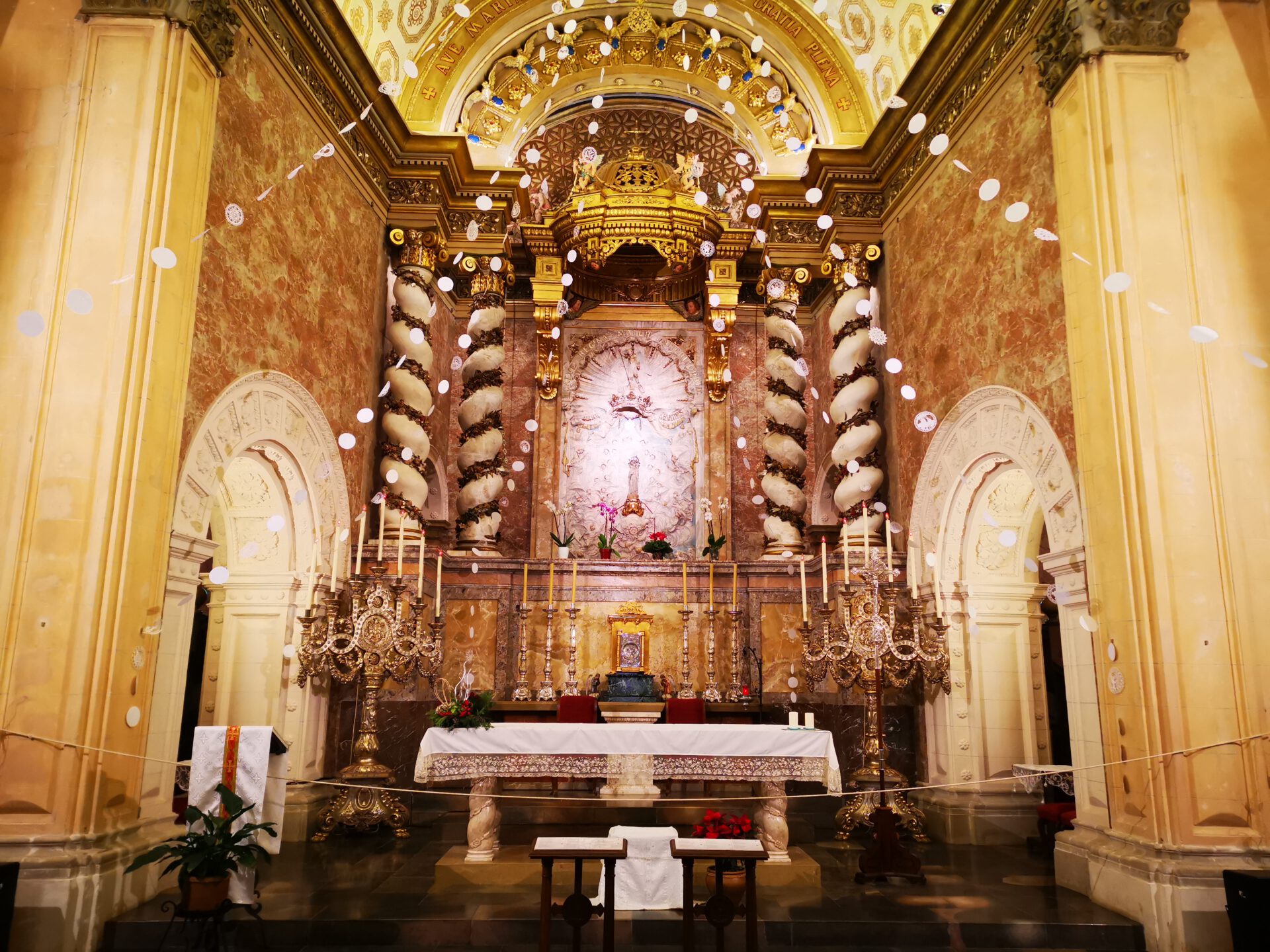
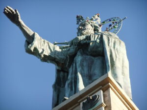
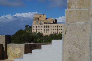
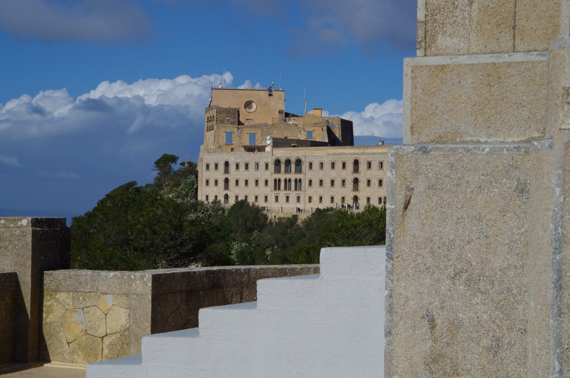
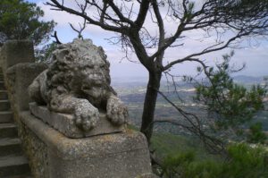
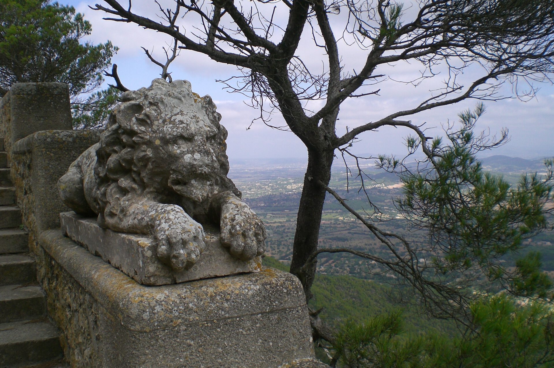
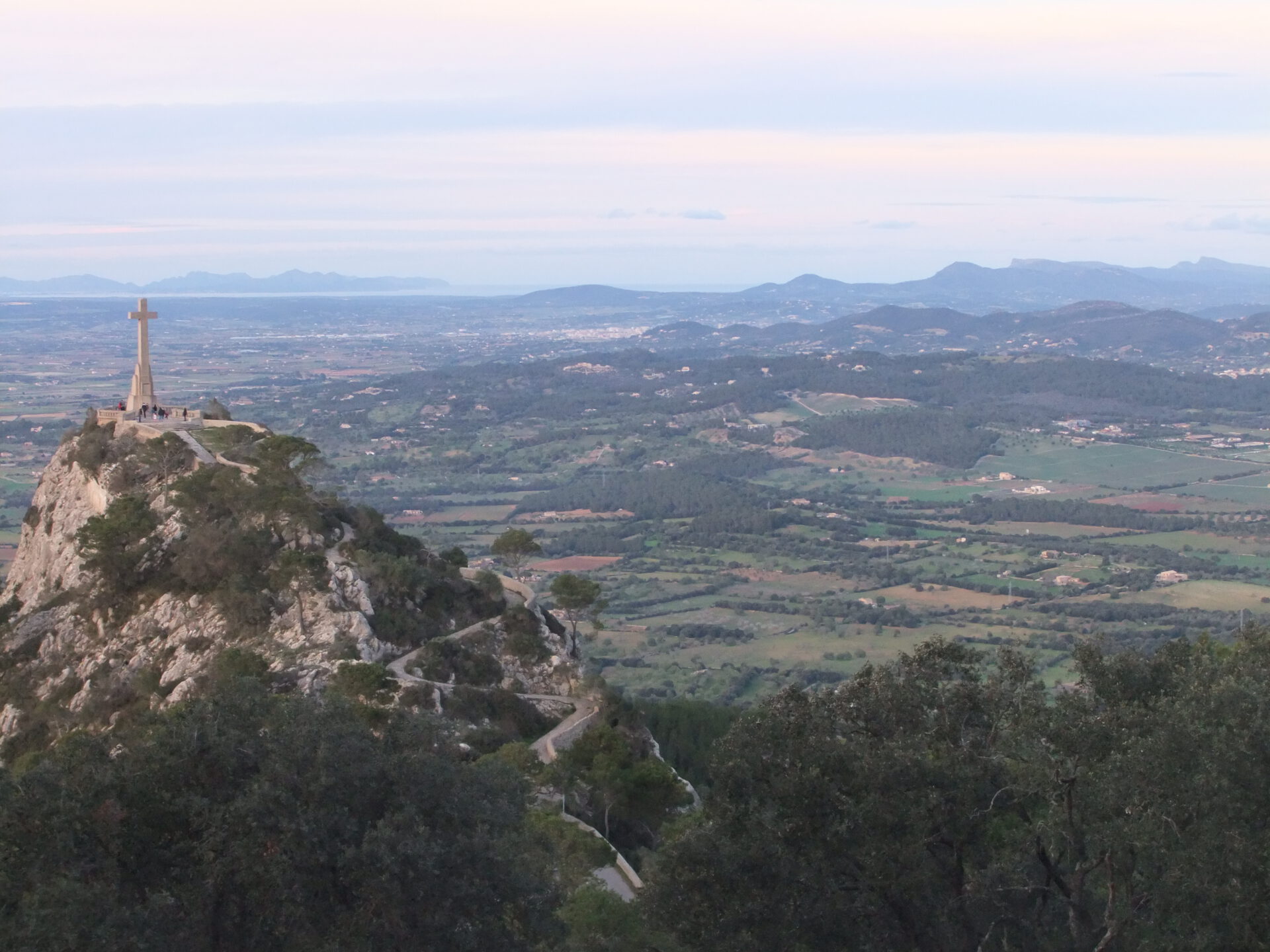
The highlight is the Sant Salvador monastery with views over the southeast of Mallorca. The monastery on Sant Salvador is in fact a smaller monastery, but from our point of view the most beautiful on the island. And of course, the impressive Christ statue overlooking the east coast should not go unmentioned.
What to keep in mind
Not really much — this circular route is also quite tranquil.
starting point
Parking bays on the access road to Sant Salvador (car park coordinates: 39.461013, 3.174971).
WANT MORE HIKES LIKE THIS?
Then take a look at our overview of all hikes on Mallorca! This hike belongs to the solitary mountains in the interior of Mallorca.
-
- Sant Salvador 01
-

- Sant Salvador 02

-
- Sant Salvador 03
-
- Sant Salvador 04

-

- Sant Salvador 05
-
- Sant Salvador 06
-

- Sant Salvador 07
-

- Sant Salvador 08
FREQUENTLY ASKED QUESTIONS ABOUT THE HIKe UP SANT SALVADOR
Parking bays on the access road to Sant Salvador (car park coordinates: 39.461013, 3.174971).
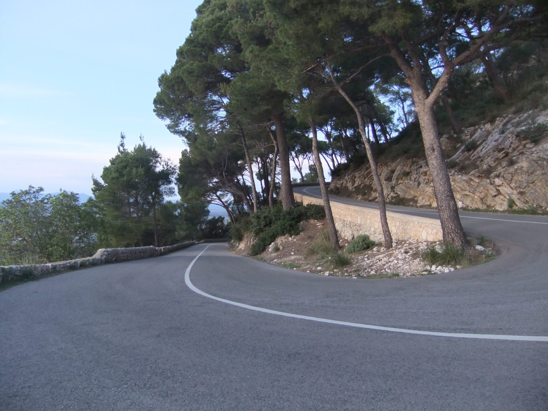
The tour is technically easy — it goes steadily uphill on an asphalt road or a well-developed old pilgrims’ path. Even so, you should bring the fitness for the continuous ascent.
From the hiking car park, you should allow 1 to 1.5 hours for the ascent — depending on your fitness. The way back is quicker. With breaks and time to enjoy the views, it is worth allowing 3 hours in total.
Yes, at the Sant Salvador monastery there is a small café with a terrace. You can even stay overnight there in a small hotel. Do note, however, that opening times vary depending on the season — in any case, bring your own food and drink.
Yes, the serpentine road is fully drivable, and there is a large car park at the top. So if you want, you can enjoy the view without the hike — which many people do.
The monastery on Sant Salvador is in fact a smaller monastery, but from our point of view the most beautiful on the island. And of course, the impressive Christ statue overlooking the east coast should not go unmentioned.
Not really much — this circular route is also quite tranquil.
Weather on the hike up Sant Salvador
We provide a 24-hour forecast for planning your Sant Salvador hike — including temperature, rain, sunshine, cloud cover, plus wind speed and wind direction, for both the start point and the destination.
Check the Weathermap FAQ for more details about the weather data!
Who’s behind Mallorca-Touren? Learn more here!
Have you done this hike and have additional notes? Send us a message!
Questions about the hikes, the maps, or what we offer? Find answers here!
We provide our hiking maps with a lot of care and genuine joy. If you truly like what we’re building here, we’d be very grateful for a donation!