

Penyal d’Honor hike
ROUTE OVERVIEW PENYAL D’HONOR (RETURN VIA THE CAVE HOUSE)
This tour takes you to Penyal d’Honor above Bunyola — with beautiful views and a route that is best done independently with a map or GPX. Here you will find an interactive map, GPX track and our honest assessment of the effort required and orientation. The return route via the cave house is more of a “must” than a highlight — which is exactly why we show an alternative further down below.
HIGHLIGHTS OF THE HIKE TO PENYAL D’HONOR WITH RETURN VIA THE CAVE HOUSE
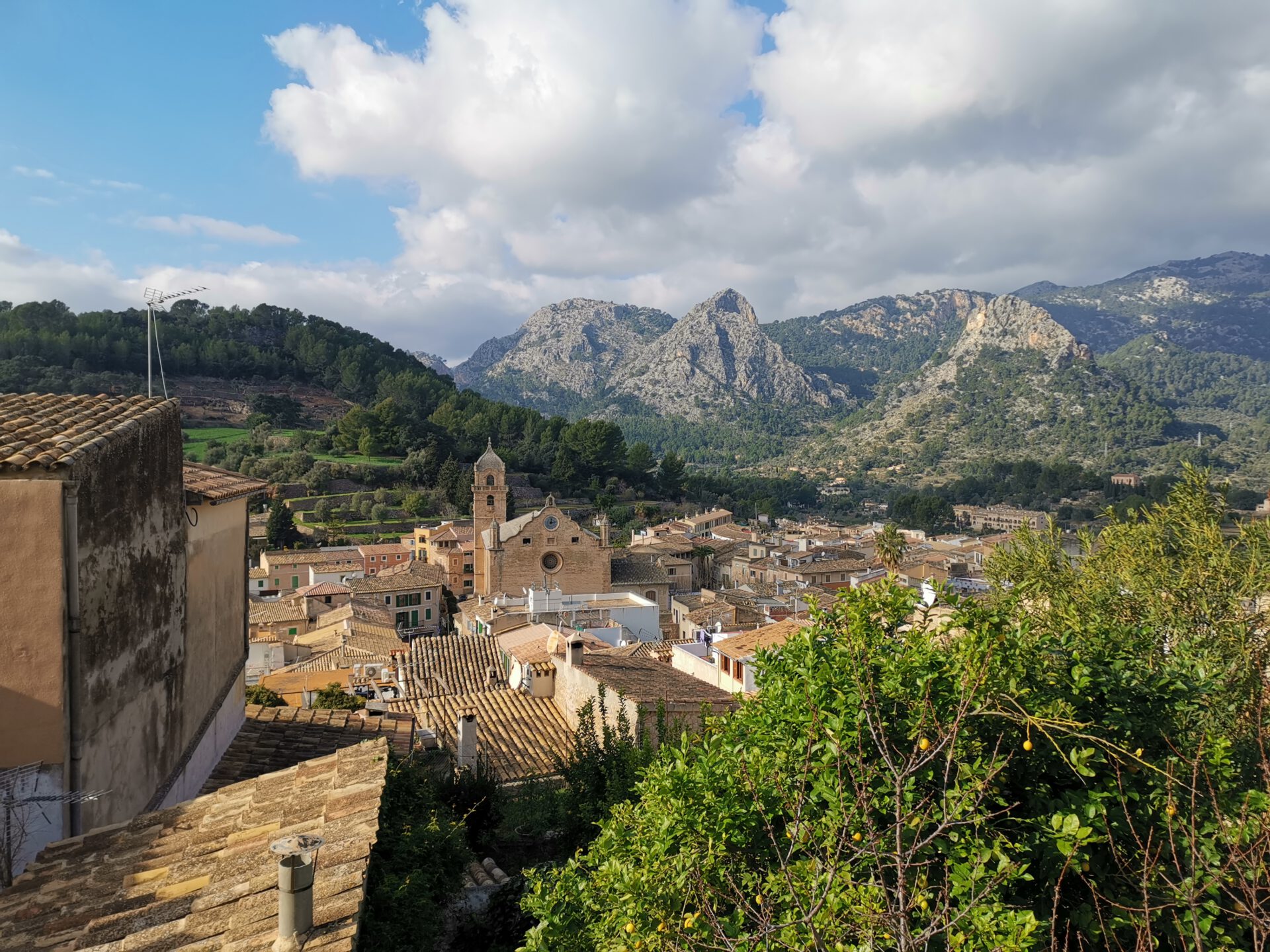
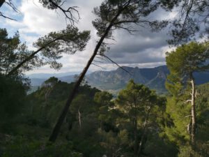
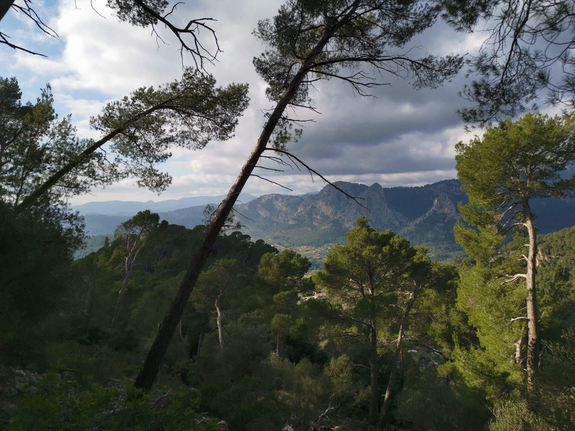
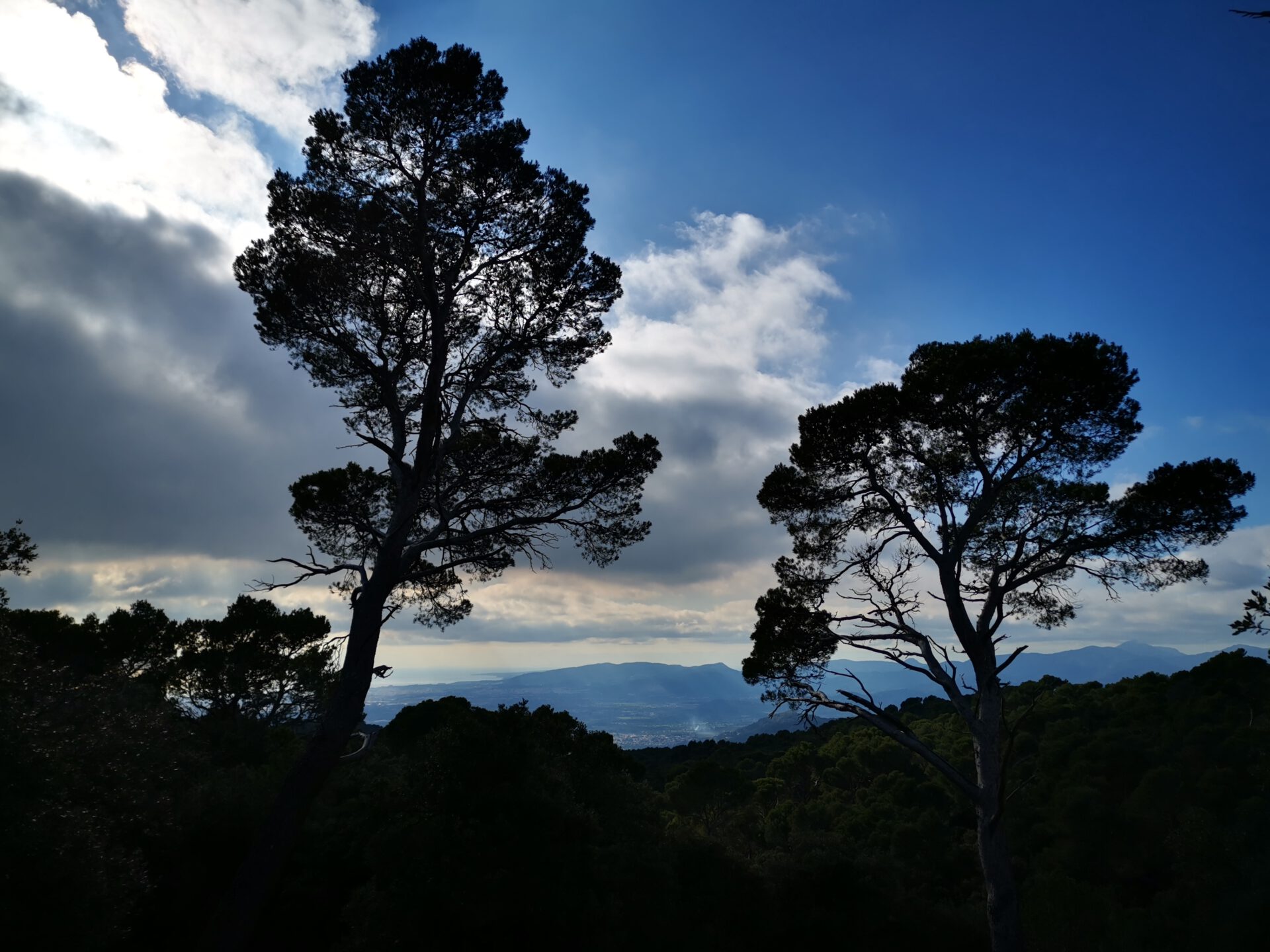
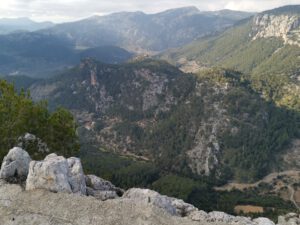
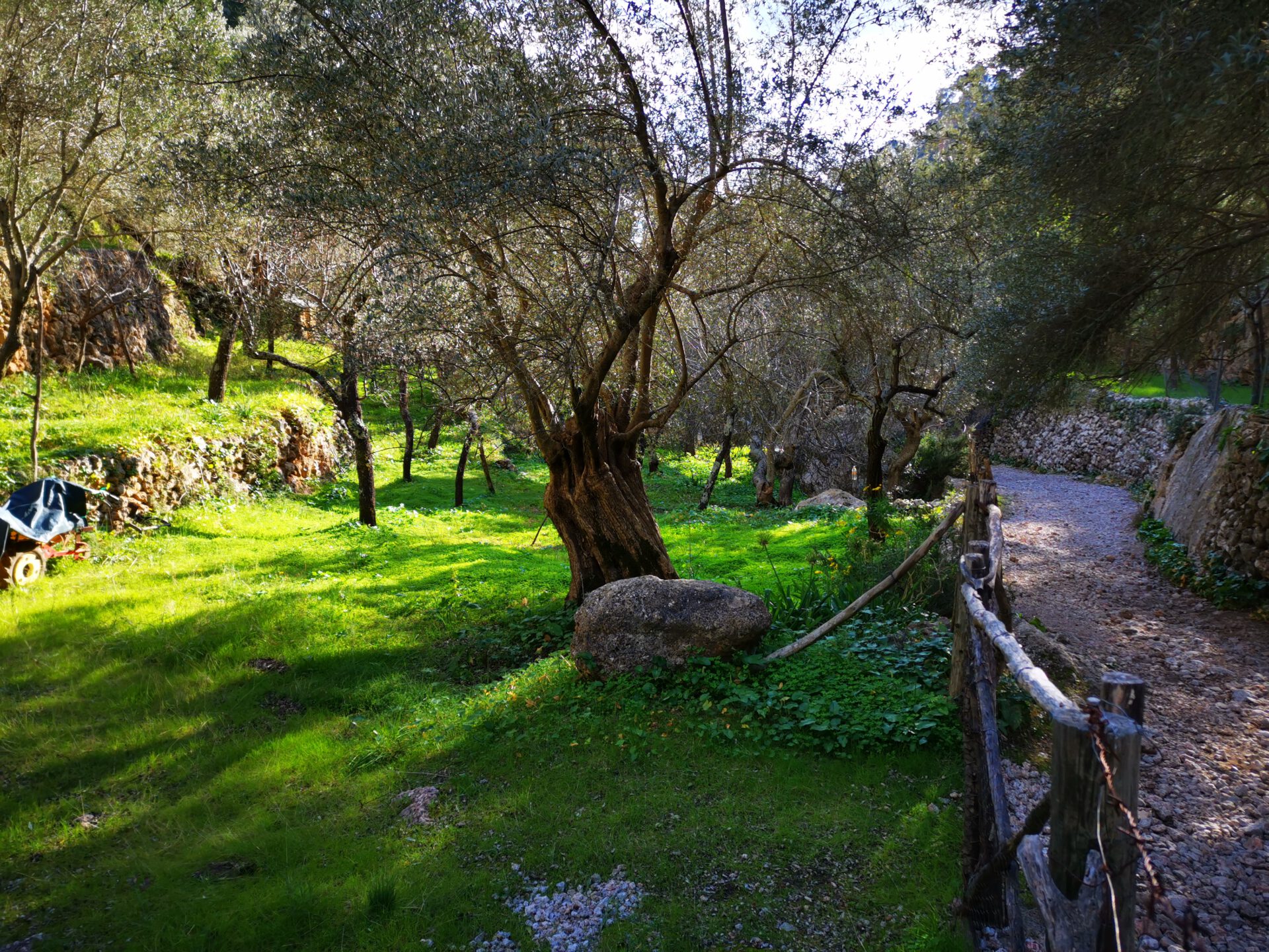
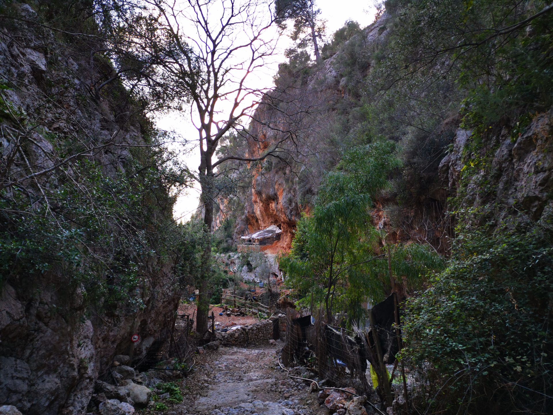
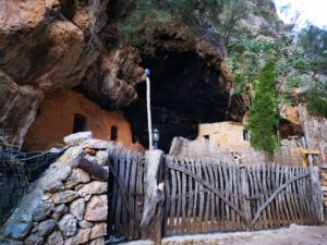
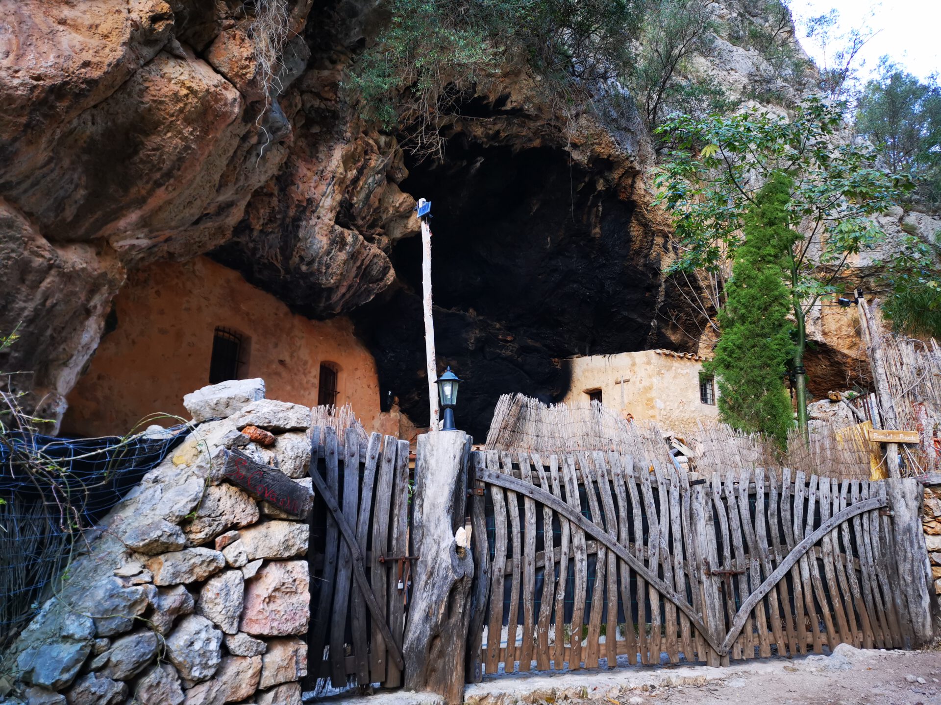
Bunyola is a lovely little town and the route gradually leads uphill into the mountains via a picturesque staircase. From the summit of Penyal d’Honor, in good weather you can also see the harbour and the cathedral of Palma. The return route then passes the well-known cave house!
What to keep in mind
The return route from the cave house is not particularly scenic on this tour. That is why we describe an attractive return alternative further below. Overall, the descent here is also somewhat steeper than on the alternative tour.
starting point
At an unpaved but large car park behind a large, unfinished supermarket ( 39.697956, 2.699410).
Alternative starting point: Anywhere in Bunyola where you can find a parking space.
WANT MORE HIKES LIKE THIS?
Then take a look at our overview of all hikes on Mallorca! This route is part of our hikes in the Tramuntana m ountains.
This route was also featured in our Best of Mallorca guide to Tramuntana hikes.
ROUTE OVERVIEW PENYAL D’HONOR (RETURN VIA THE SERPENTINES)
HIGHLIGHTS OF THE HIKE TO PENYAL D’HONOR WITH RETURN VIA THE SERPENTINES
The main part of the route is identical to the original route. So here too you get to enjoy the very beautifully laid-out staircase and the beautiful view from the summit of Penyal d’Honor of the harbour and the
cathedral of Palma. The return route then does not pass the well-known cave house, but leads directly back to Bunyola via gently descending serpentines with scenic views.
What to keep in mind
The return route is somewhat longer here because of the serpentines, but easier to walk.
For us, this is the standard route when heading up to Penyal d’Honor!
starting point
As above, at the unpaved car park by the supermarket ruins ( 39.697956, 2.699410).
WANT MORE HIKES LIKE THIS?
Then take a look at our overview of all hikes on Mallorca! This route is part of our hikes in the Tramuntana mountains.
This route was also featured in our Best of Mallorca guide to Tramuntana hikes.
-

- Bunyola
-

- Penyal dHonor 02
-

- Penyal dHonor 03
-
- Penyal dHonor 04

-
- Penyal dHonor 05
-
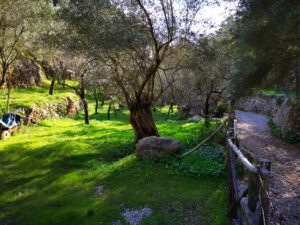
- Garten Eden
-

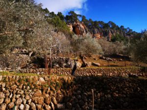
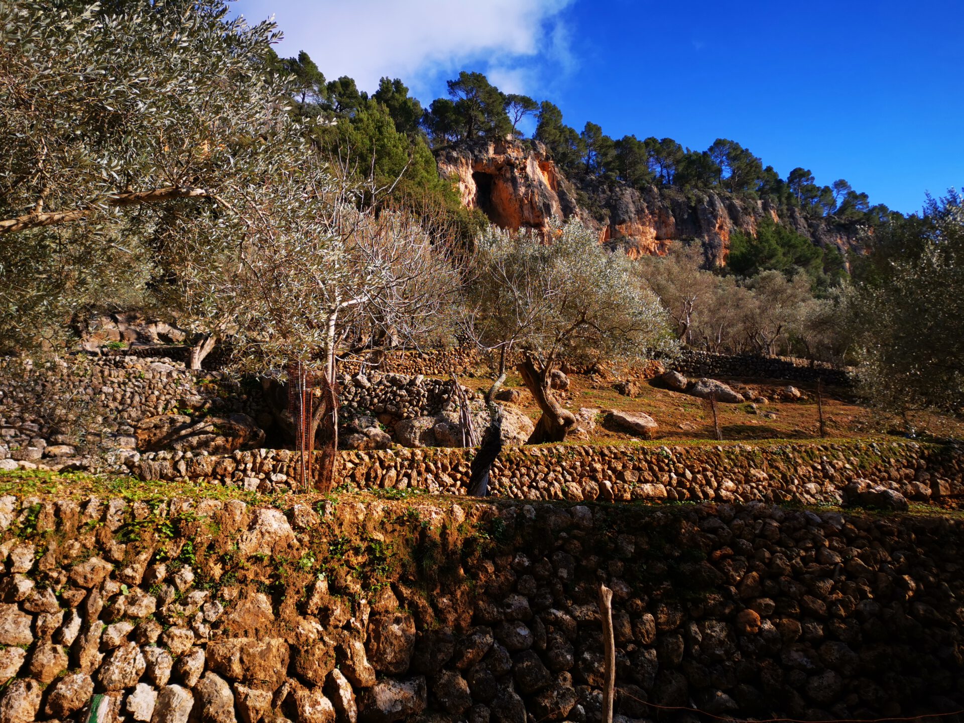
- Casa de Cova 01
-
- Casa de Cova 02
FREQUENTLY ASKED QUESTIONS ABOUT THE Penyal d’Honor hike
At an unpaved but large car park behind a large, unfinished supermarket ( 39.697956, 2.699410). Alternative starting point: Anywhere in Bunyola where you can find a parking space.
The route is technically easy, but physically quite demanding because of its length. However, the path is well marked, so we classify the tour overall as moderate.
For the ascent and descent, you should allow about 3 to 4 hours of pure walking time — breaks and time spent at the summit come on top of that.
The combination of the historic route, quiet forest sections and the summit plateau with its views is unique.
No — there are no places to stop for food or drink and no fountains on the entire circular route. Sufficient water (especially in summer) is, as in principle on all our routes, essential.
Bunyola is a lovely little town and the route gradually leads uphill via a picturesque staircase. From the summit of Penyal d’Honor, in good weather you can also see the harbour and the cathedral of Palma. The return route of the first tour then passes the well-known cave house.
The return route from the cave house on the first tour is not particularly scenic. That is why, with the second tour, we have described an alternative return route via the serpentines.
Weather on THE Penyal d’Honor hike
We provide a 24-hour forecast for planning your Penyal d’Honor hike — including temperature, rain, sunshine, cloud cover, plus wind speed and wind direction, for both the start point and the destination.
Check the Weathermap FAQ for more details about the weather data!
Who’s behind Mallorca-Touren? Learn more here!
Have you done this hike and have additional notes? Send us a message!
Questions about the hikes, the maps, or what we offer? Find answers here!
We provide our hiking maps with a lot of care and genuine joy. If you truly like what we’re building here, we’d be very grateful for a donation!