

Puig des Tossals Verds hike
Route overview Puig des Tossals Verds
This tour takes you around Puig des Tossals Verds in the heart of the Tramuntana — a long, very rewarding loop between Cúber Reservoir and Refugi Tossals Verds. Here you will find the route, interactive map and our honest assessment of the tour, including notes on orientation and a few special sections along the way. You also get the GPX track as an offline backup in case the signal disappears in the mountains.
Highlights of the Puig des Tossals Verds hike
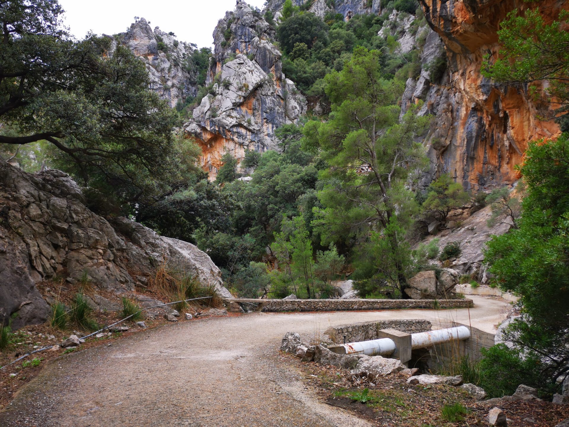
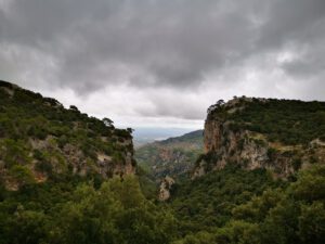
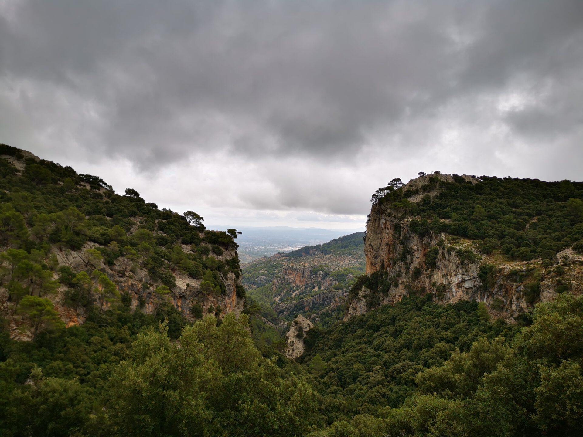
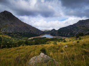
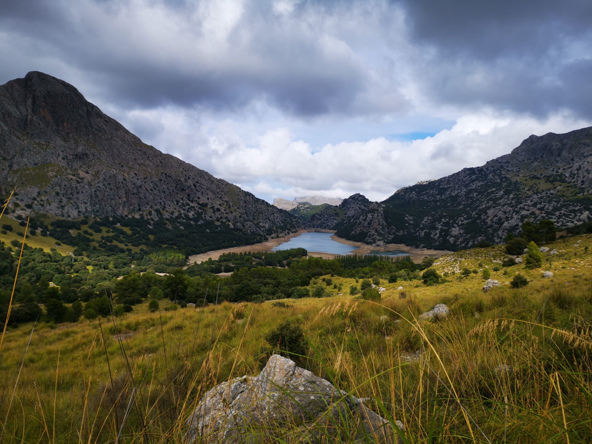
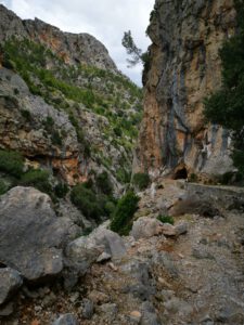
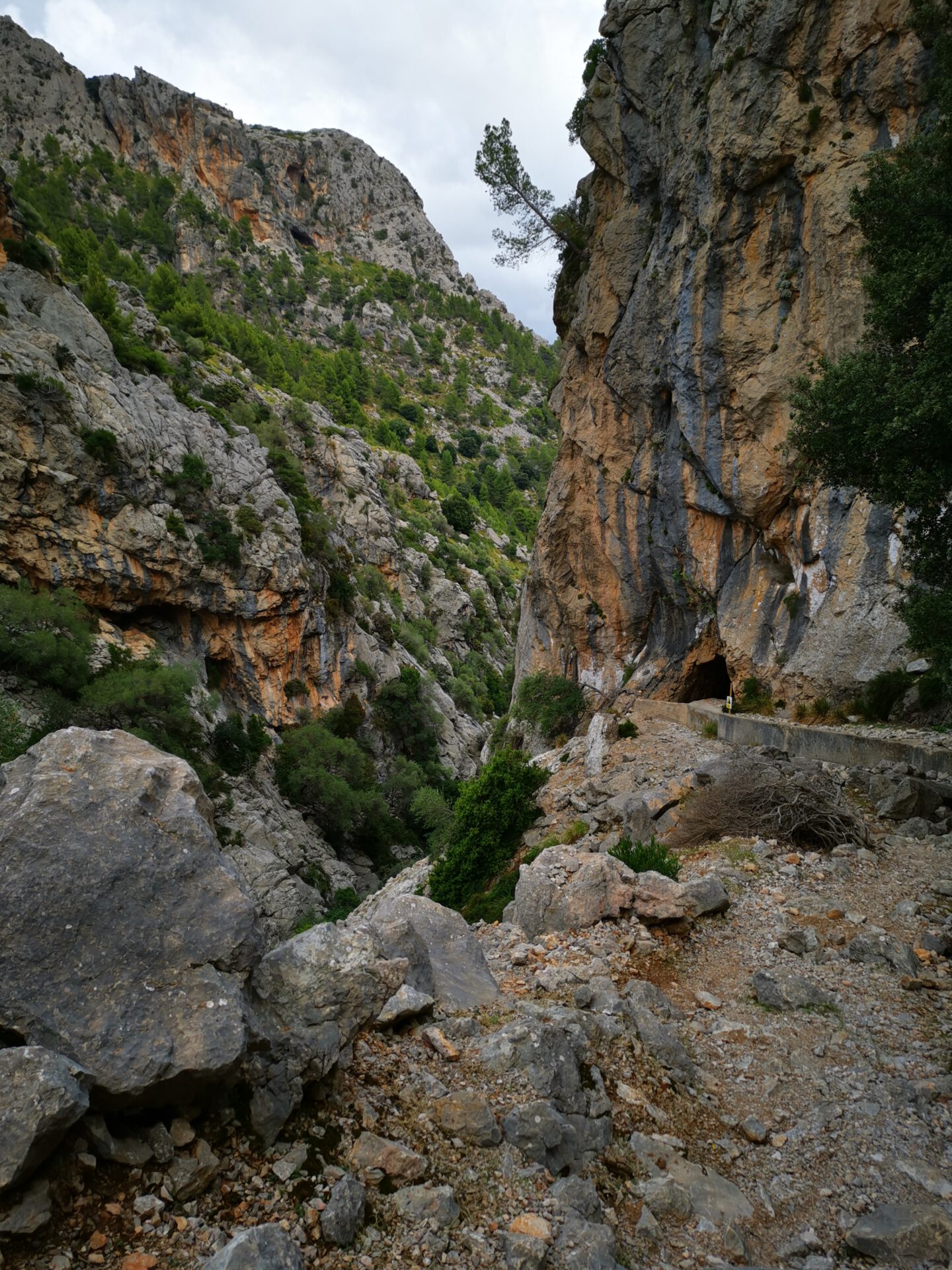
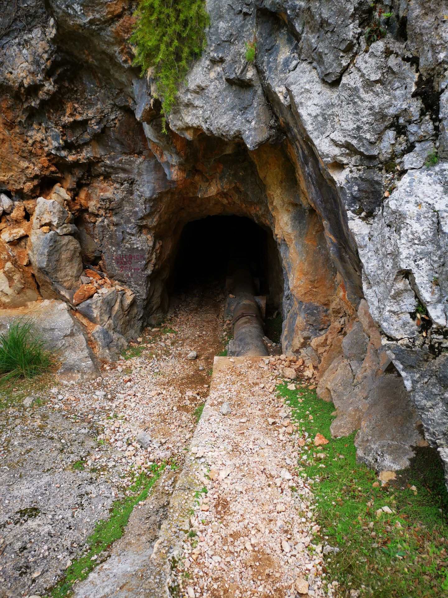
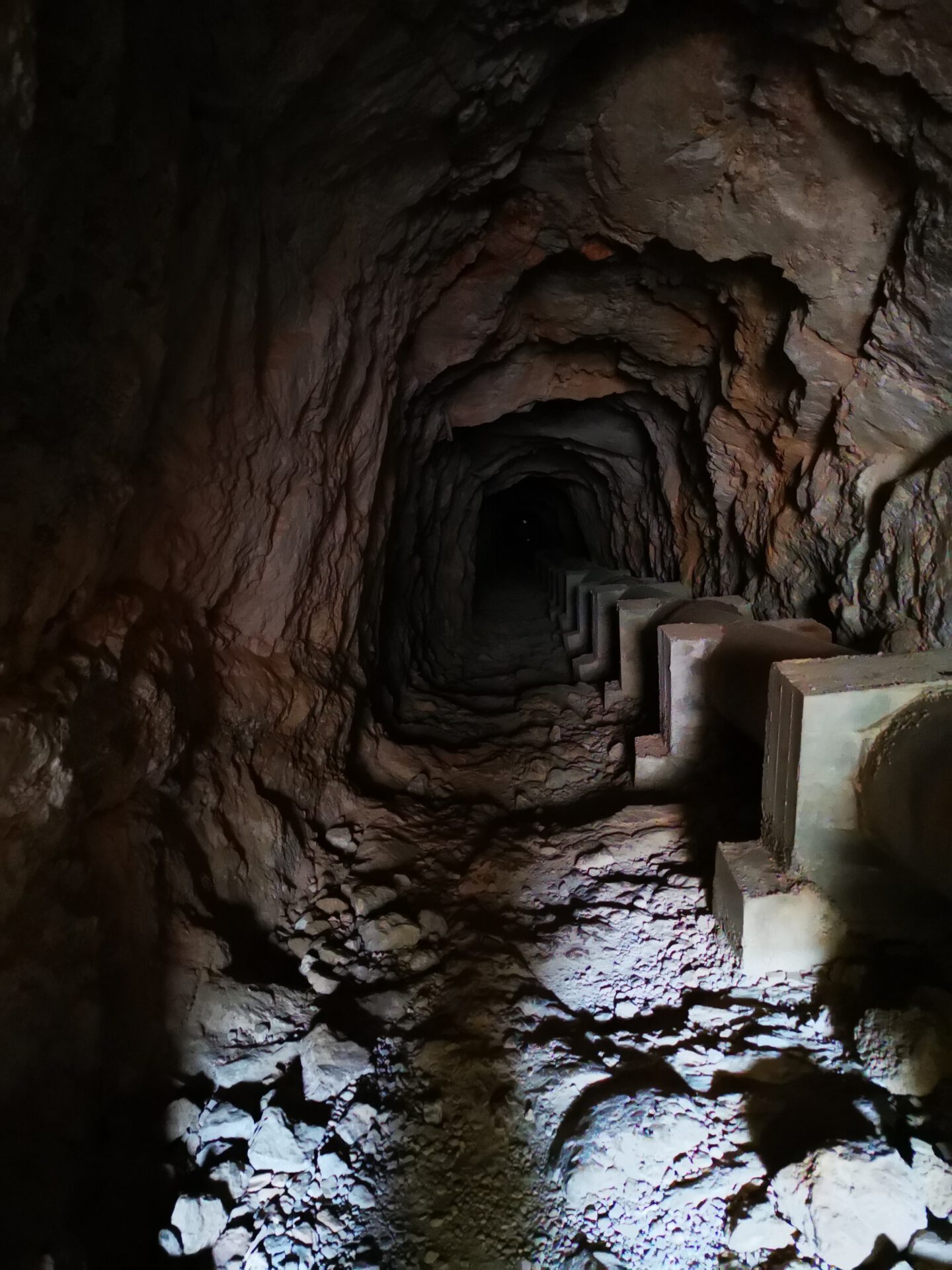
This tour also stands out for its beautiful views of the reservoirs and other Tramuntana peaks. It becomes a bit adventurous when it is time to pass through the tunnels that were cut through the rock for the freshwater supply lines.
What to keep in mind
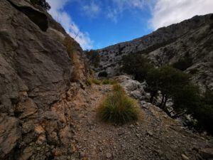
Overall, the hike is long and does require some stamina to complete, but apart from the short climb to the summit and a few brief, steeper descents on the way back, the trails are relatively easy to navigate. After passing the Cúber Reservoir, you’ll need to go through several tunnels. We recommend bringing a flashlight (or at least using the one on your smartphone)
starting point
At the Son Ordines car park below Refugi Tossals Verds ( 39.756508, 2.827167). The road from Lloseta is littered with potholes for long stretches and is therefore difficult to drive on. The advantage is that the journey is short.
Alternative starting point: At the parking lot of the Cúber Reservoir ( 39.787091, 2.798953). The route through the Tramuntana Mountains is significantly longer, but the roads are in good condition.
WANT MORE HIKES LIKE THIS?
Then take a look at our overview of all hikes on Mallorca! This route is part of our hikes in the Tramuntana m ountains.
This route was also featured in our Best of Mallorca guide to Tramuntana hikes.
-

- Tossals Verds 01
-

- Tossals Verds 02
-
- Tossals Verds 03

-
- Tossals Verds – Gorg Blau
-

- Tossals Verds – Tunnel 01
-

- Tossals Verds – Tunnel 02
-

- Tossals Verds – Tunnel 03
-

- Tossals Verds – Abstieg
FREQUENTLY ASKED QUESTIONS ABOUT THE Tossals Verds hike
At the Son Ordines car park below Refugi Tossals Verds ( 39.756508, 2.827167). The road from Lloseta is littered with potholes for long stretches and is therefore difficult to drive on. The advantage is that the journey is short. Alternative starting point: At the parking lot of the Cúber Reservoir ( 39.787091, 2.798953). The route through the Tramuntana Mountains is significantly longer, but the roads are in good condition.
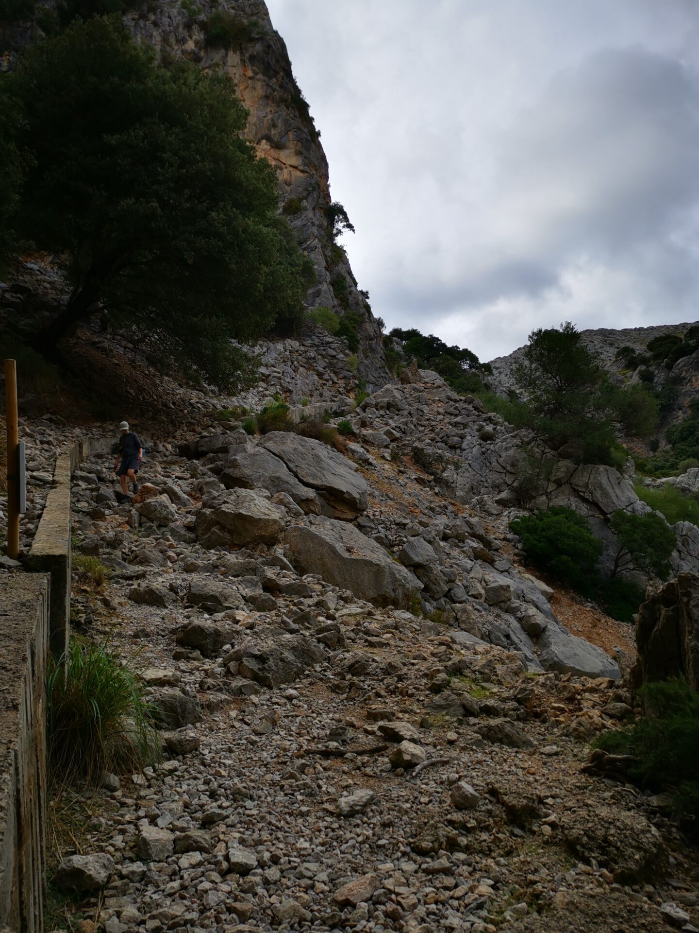
Technically, the route is not particularly demanding, but because of its length it does require stamina. The ascent from the pass at Coll des Coloms to the summit in particular is quite steep and drags on. Overall, we would classify the tour as moderate.
For the full loop, allow at least 5 to 6 hours of walking time — not including breaks, photos or a stop at the refuge.
The route is unmarked in some sections or does not follow clearly visible hiking paths. But with our interactive 2D map and GPS location, the route is manageable.
No! Like all our routes, you can access the route directly in your browser with GPS location — without an app or registration. Just make sure you bring enough battery life or a power bank for your smartphone.
Basically, yes! The Refugi Tossals Verds mountain hut offers water and (by reservation) hot meals as well. If you’d like to stop there, however, it makes sense to hike the loop in the opposite direction of the route we’ve indicated—otherwise, you’ll reach the hut as early as kilometer 3! Be sure to check the opening hours and availability in advance ( https://caminsdepedra.conselldemallorca.es/de/-/tossals-verds-2). There are no other places to get supplies along the way!
This hike is well-suited for families with older children who are experienced hikers. It is not recommended for families with younger children or during the summer heat.
This tour also offers stunning views of the lakes and other peaks of the Tramuntana. Things get a little adventurous when you have to pass through the tunnels that were carved through the rock to house the fresh water supply lines!
Overall, the hike is long and does require some stamina to complete, but apart from the short climb to the summit and a few brief, steeper descents on the way back, the trails are relatively easy to navigate. After passing the Cúber Reservoir, you’ll need to go through several tunnels. We recommend bringing a flashlight (or at least using the one on your smartphone)
Weather on the Tossals Verds hike
We provide a 24-hour forecast for planning your Tossals Verds hike — including temperature, rain, sunshine, cloud cover, plus wind speed and wind direction, for both the start point and the destination.
Check the Weathermap FAQ for more details about the weather data!
Who’s behind Mallorca-Touren? Learn more here!
Have you done this hike and have additional notes? Send us a message!
Questions about the hikes, the maps, or what we offer? Find answers here!
We provide our hiking maps with a lot of care and genuine joy. If you truly like what we’re building here, we’d be very grateful for a donation!