

Platja des Coll Baix Hike (Cala Coll Baix)
ROUTE OVERVIEW Platja des Coll Baix (Cala Coll Baix)
This hike leads from the Ermita de la Victoria near Alcúdia to the remote Platja des Coll Baix (also Cala Coll Baix). Here you will find the route, map and GPX track, plus our honest assessment of orientation and the rocky final section down to the beach.
HIGHLIGHTS OF THE HIKE TO PLATJA DES COLL BAIX
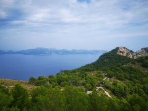
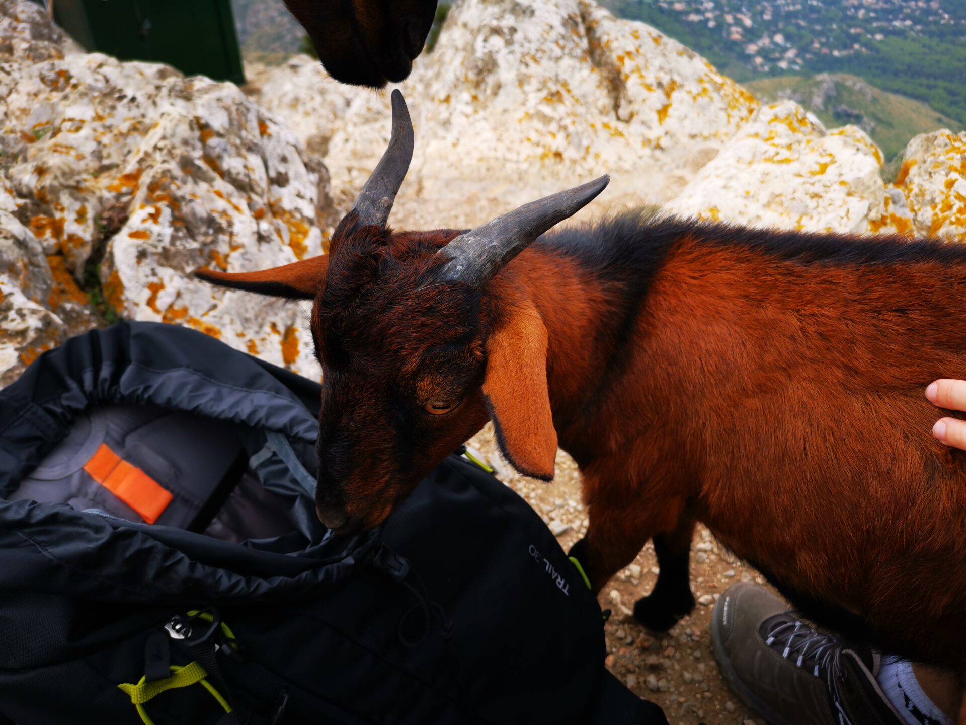
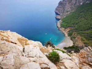
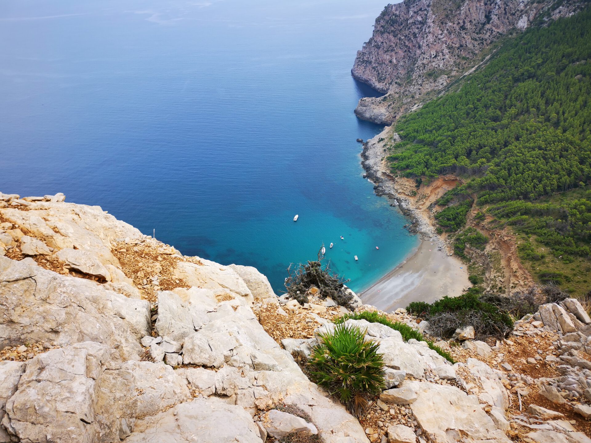
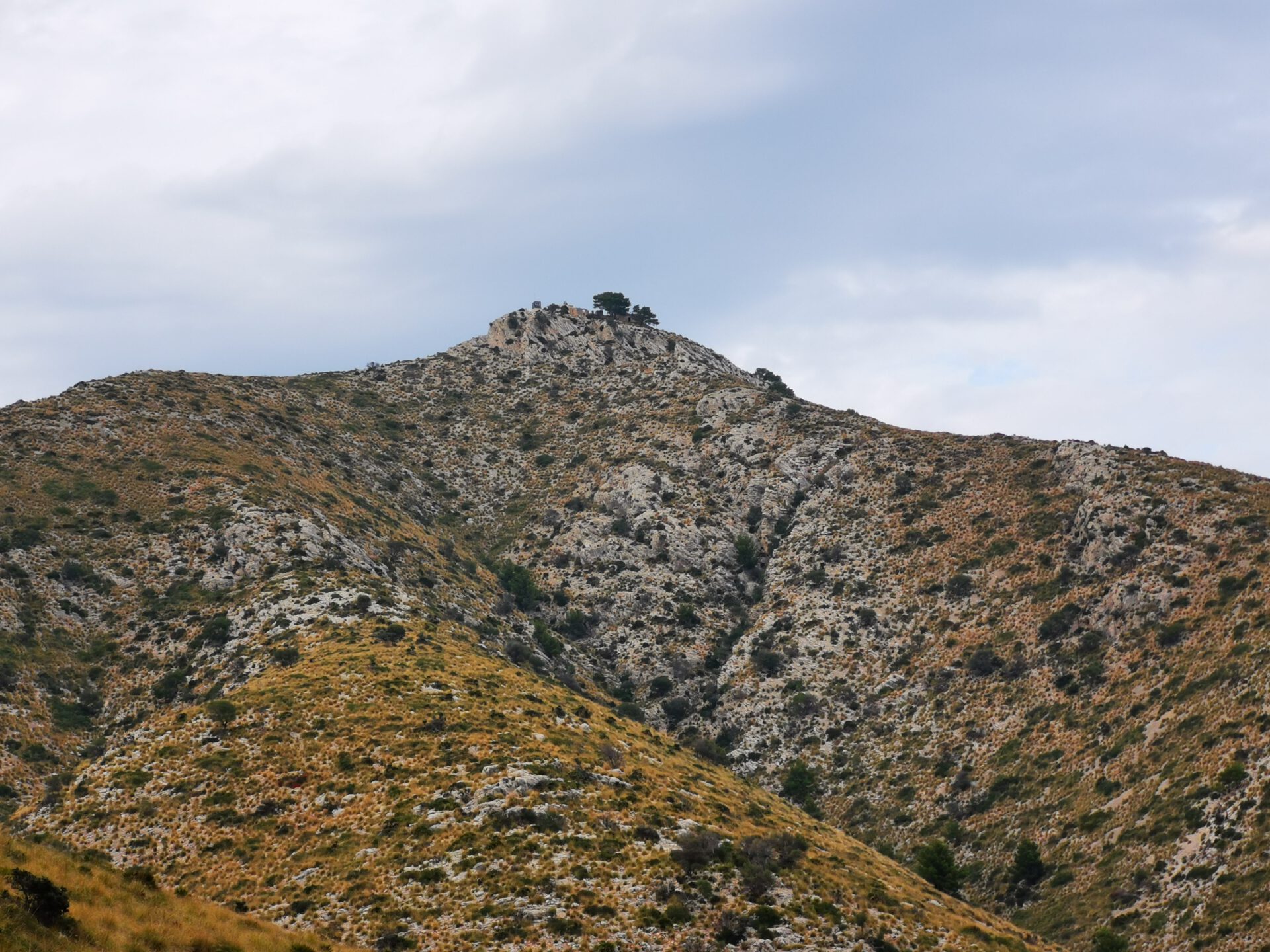
The highlight is of course the beautifully situated beach Platja/Cala Coll Baix at the end of the tour. But we also enjoyed the goats on the Talaia d’Alcúdia, which are used to being fed by tourists.
What to keep in mind
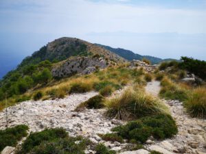
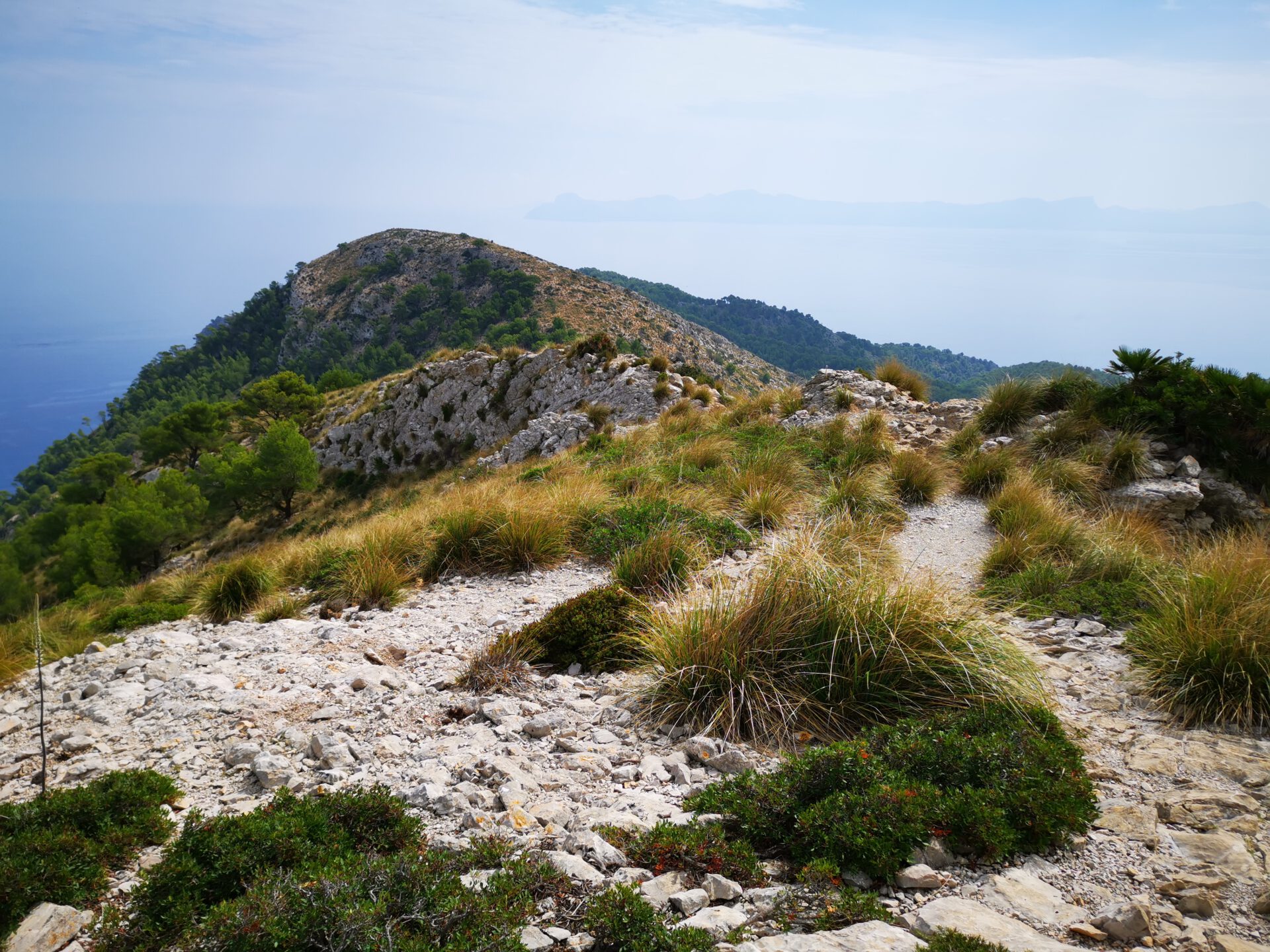
The only land access to the beach leads along a short but rocky stretch that we found quite difficult to walk. You definitely need some rock-climbing skills here. In the final section, the path also becomes unclear, as it seems to lead past the beach—GPX files and maps will help you avoid getting lost here.
starting point
Parking place at the Ermita de la Victoria ( 39.873217, 3.170567).
WANT MORE HIKES LIKE THIS?
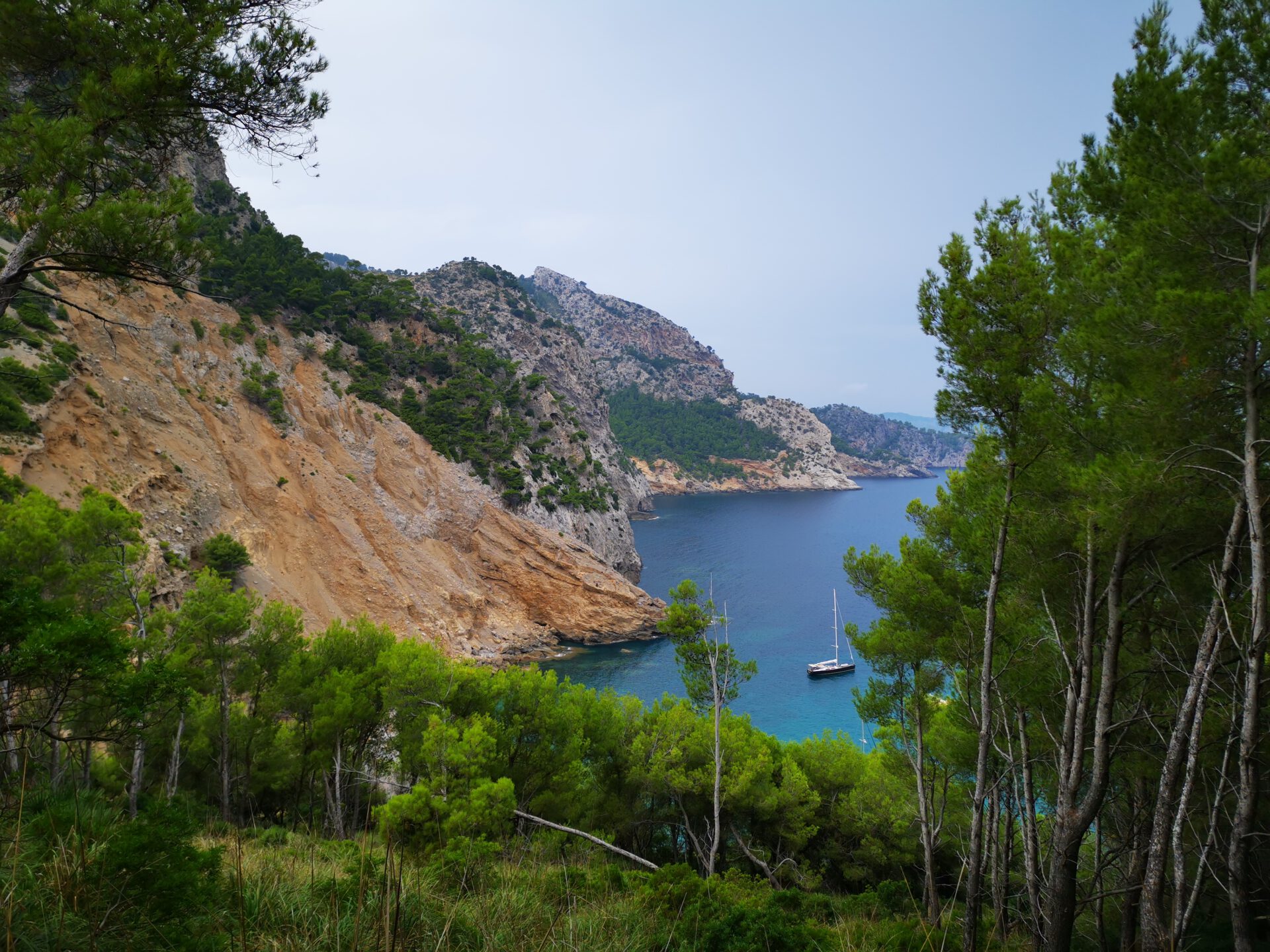
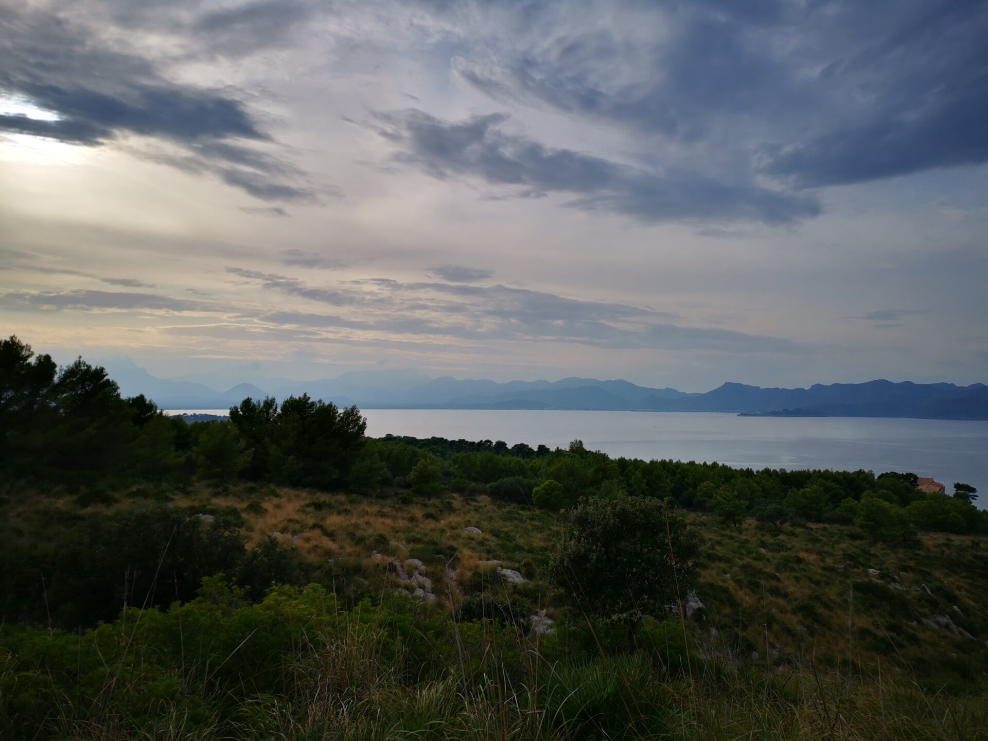
Then take a look at our overview of all hikes on Mallorca! This tour is a c oastal hike .
-
- Platja des Coll Baix 01

-


- Platja des Coll Baix 02
-
- Platja des Coll Baix 03
-
- Platja des Coll Baix 04
-

- Platja des Coll Baix 05
-

- Platja des Coll Baix 06
-

- Platja des Coll Baix 07
-

- Platja des Coll Baix 08
FREQUENTLY ASKED QUESTIONS ABOUT THE hike to Platja des Coll Baix
Our route starts at the car park at the Ermita de la Victoria ( 39.873217, 3.170567).
The hike is mostly easy from a technical standpoint, as the outbound leg follows hiking trails for the most part. However, the final stretch to the cove involves scree and rocky steps where the path is no longer discernible, and some climbing skills are definitely required. The return route partly follows a long, dry riverbed, which is significantly more strenuous to walk on than a normal hiking trail. On average, we have therefore rated the route as moderate.
You should plan on about 3 hours of pure walking time for the round trip. Of course, it will take significantly longer if you stop for a swim.
Yes! If your only goal is to get to the beach, you can drive along Cami de la Muntanya to a parking lot located about a mile and a half from the beach. On the way back along our route, you’ll pass this parking lot on your way to the Refugi del Coll Baix.
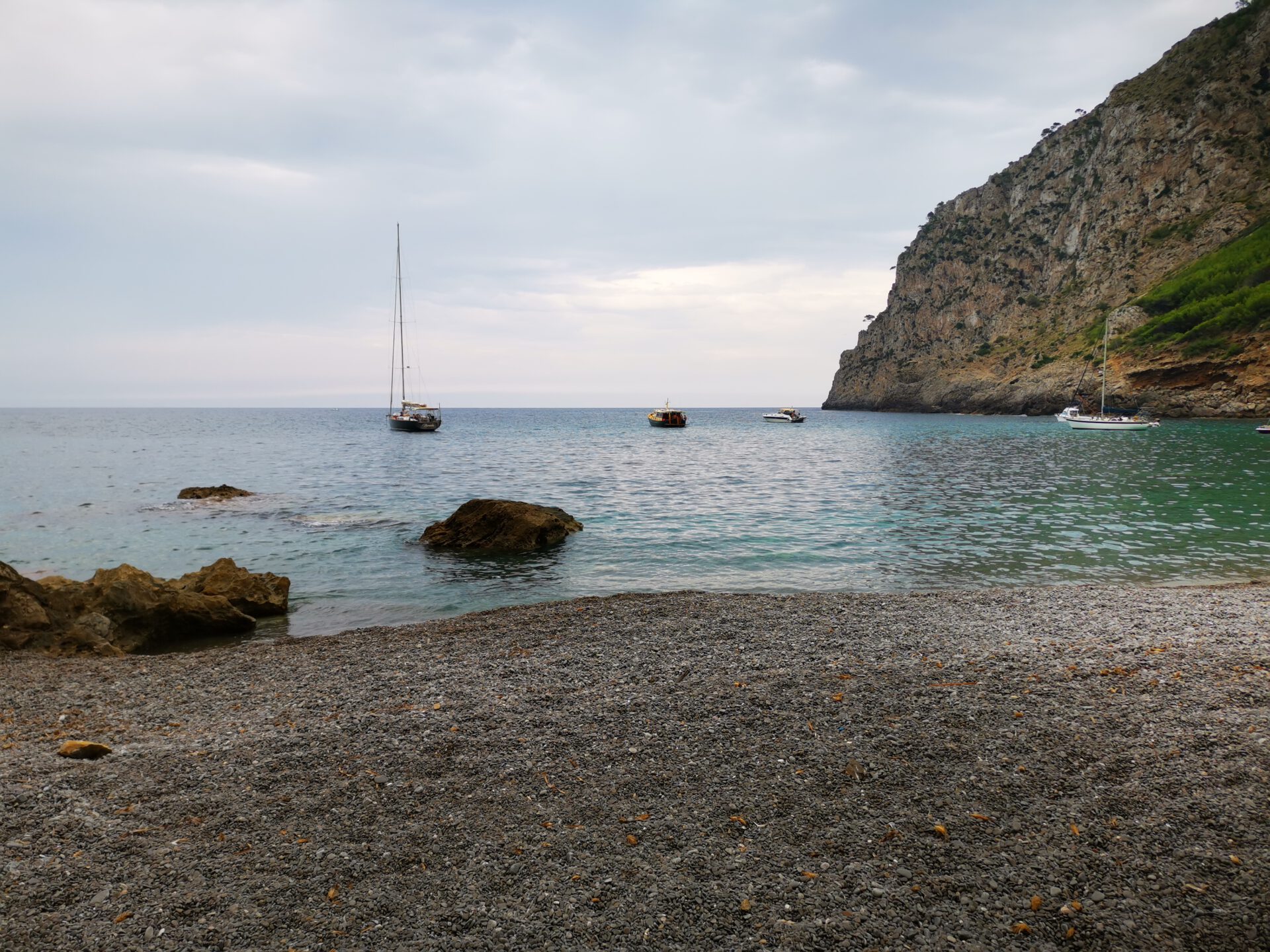
Yes, but there is no shade and no infrastructure.
The main route is well marked, but especially on the final stretch before the beach, a map can be helpful for those unfamiliar with the area. Some of the paths on the way back are very hard to find—so it’s best to use a map or a GPX file!
The highlight is of course the beautifully situated beach at the end of the tour. But we also enjoyed the goats on the Talaia d’Alcúdia, which are used to being fed by tourists.
The only land access to the beach leads over a short but rocky section which, from our point of view, is quite difficult to walk. You definitely need some climbing ability here.
Weather on the hike to Platja des Coll Baix
We provide a 24-hour forecast for planning your hike to Platja des Coll Baix — including temperature, rain, sunshine, cloud cover, plus wind speed and wind direction, for both the start point and the destination.
Check the Weathermap FAQ for more details about the weather data!
Who’s behind Mallorca-Touren? Learn more here!
Have you done this hike and have additional notes? Send us a message!
Questions about the hikes, the maps, or what we offer? Find answers here!
We provide our hiking maps with a lot of care and genuine joy. If you truly like what we’re building here, we’d be very grateful for a donation!