

Puig de Maria hike
ROUTE OVERVIEW Puig de Maria
This short hike takes you up Puig de Maria above Pollença—perfect if you want to enjoy a beautiful view and a little “mini-summit moment” in just a short amount of time. Here you’ll find the route, an interactive map, and a GPX track, plus our honest assessment of the difficulty and navigation. The trail is generally very clear (and even paved in some sections), but having the GPX file as a backup ensures you’ll stay completely relaxed—especially if you decide to take a detour on a whim or venture a few extra steps at the top.
Highlights of the hike to Puig de Maria
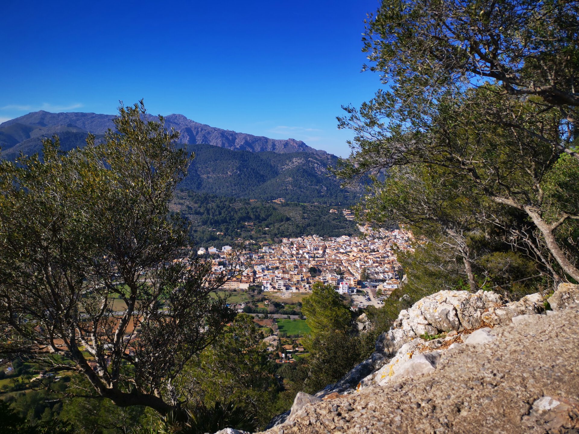
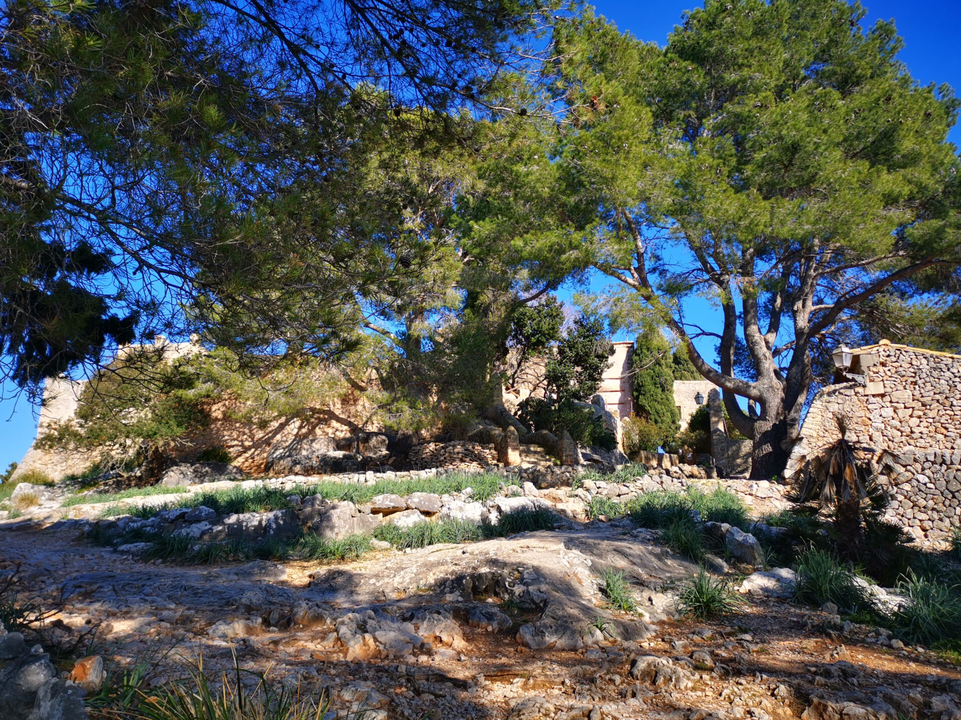
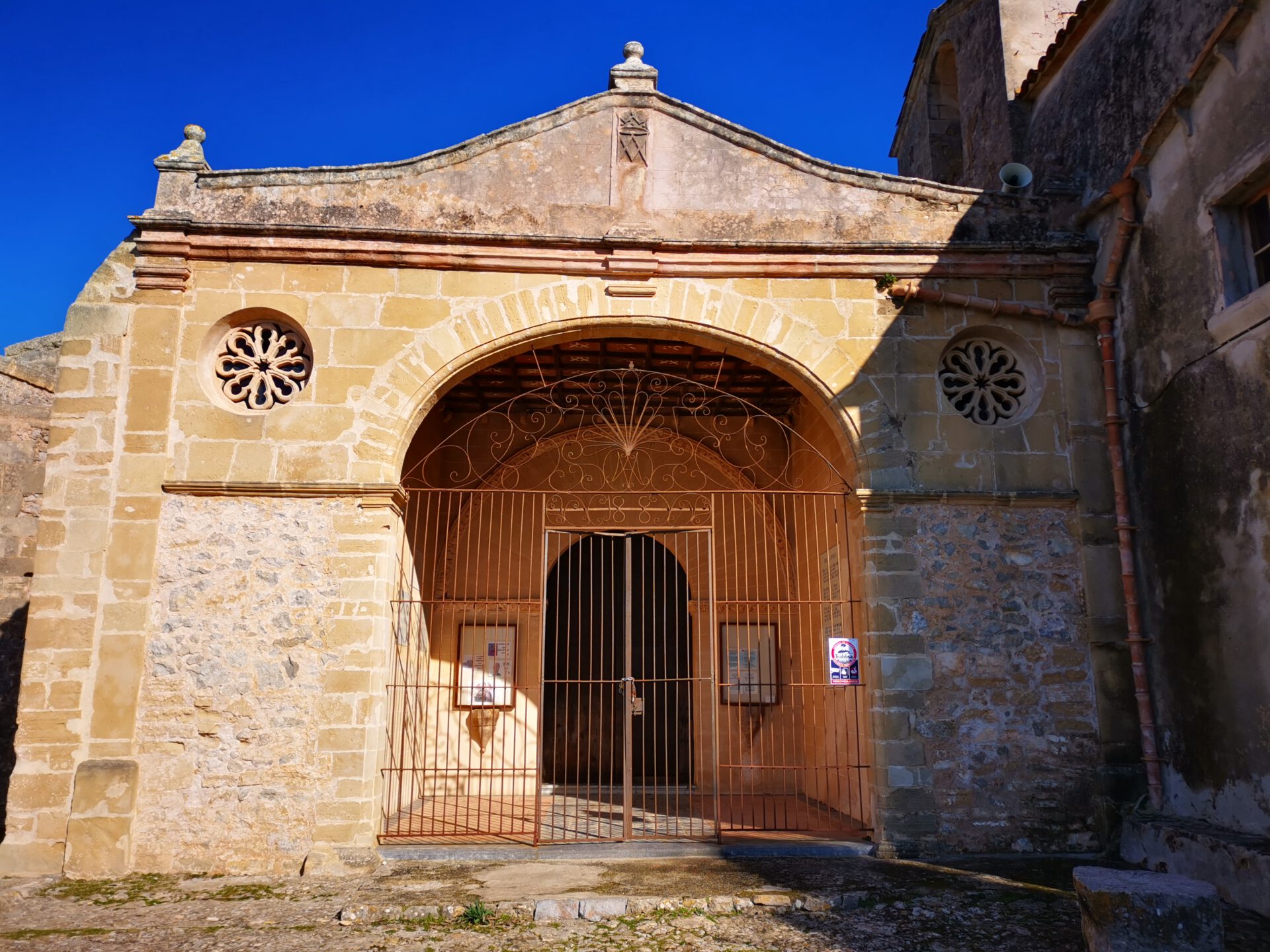
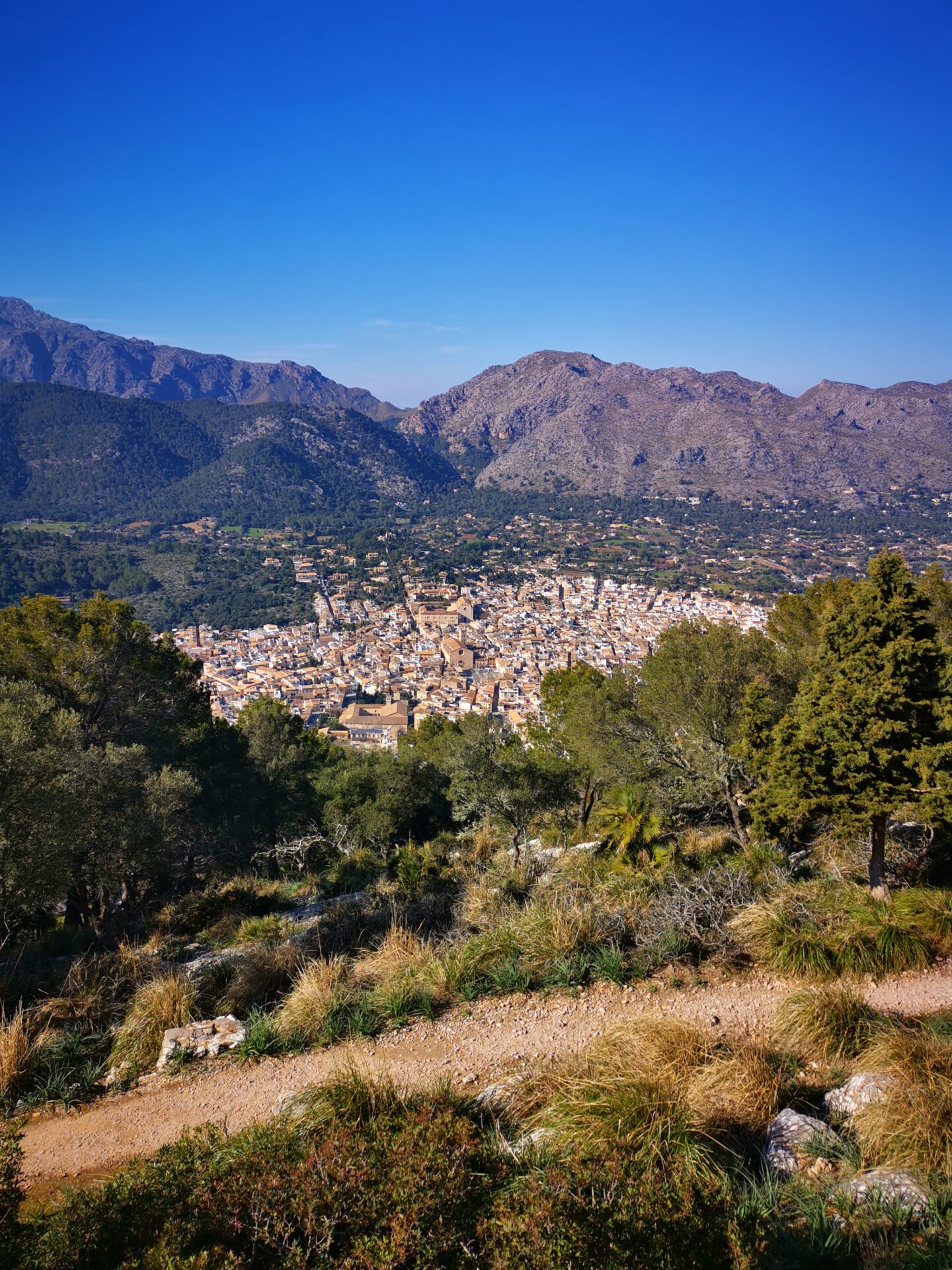
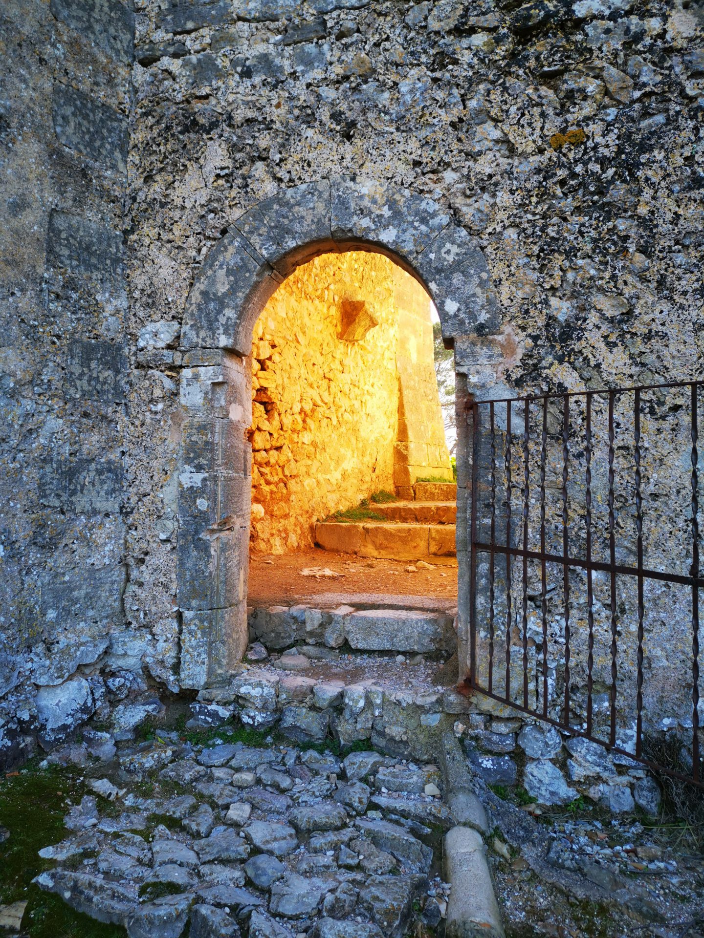
At the summit, there is a small monastery complex offering a stunning view of Pollença and the Carrer del Calvari—the 365 steps leading up to Calvary Hill!
What to keep in mind
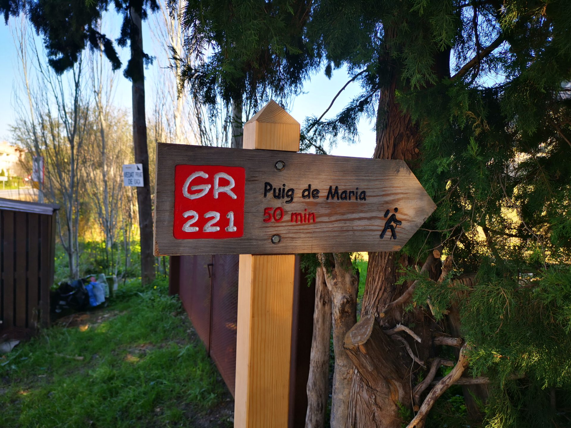
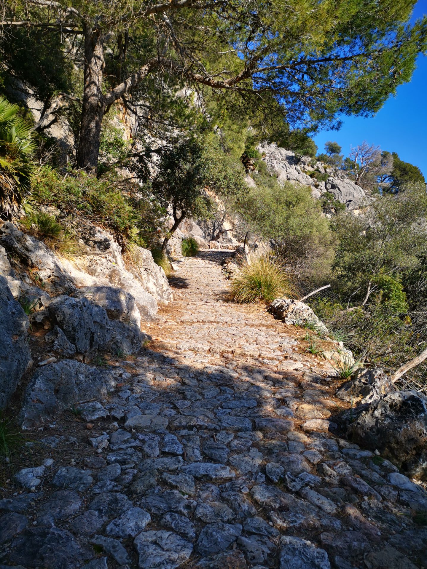
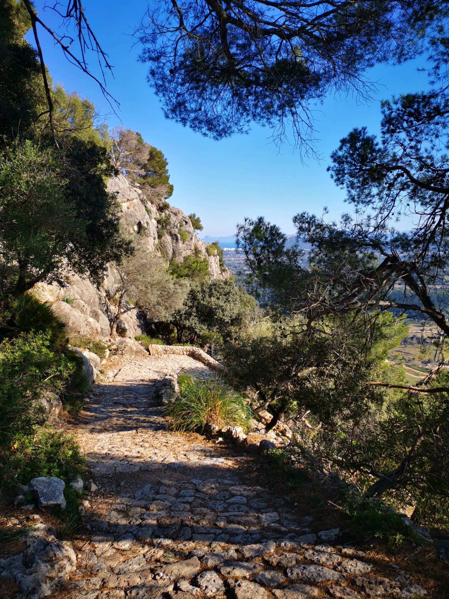
A well-marked trail where you can’t get lost. The path starts out paved but becomes increasingly rugged and rocky.
starting point
Public, unpaved parking lot in Pollença ( 39.873262, 3.016544). If this lot is full, there is a smaller, paved parking lot right next to it.
WANT MORE HIKES LIKE THIS?
Then take a look at our overview of all hikes on Mallorca! This route is part of our hikes in the Tramuntana m ountains.
This route was also featured in our Best of Mallorca guide to Tramuntana hikes.
FREQUENTLY ASKED QUESTIONS ABOUT THE Puig de Maria hike
Public, unpaved parking lot in Pollença ( 39.873262, 3.016544). If this lot is full, there is a smaller, paved parking lot right next to it.
The tour is easy — although there are some steep sections, the paths are well developed and the route is quite short.
With a short break at the top, you should manage in about 2 hours in total.
Almost impossible, as in principle there is only one path. With our maps, however, it is of course even easier.
No. Like all our routes, you can access the route directly in the browser with GPS location — without an app or registration. Just make sure you bring enough battery life or take a power bank for your smartphone with you.
Not directly on the route, but in Pollença there are plenty of cafés and restaurants.
We rate this route as easy, so it should be manageable even for children. However, due to the trail conditions in the upper section, it’s no longer easy to push a stroller.
At the summit, there is a small monastery complex offering a stunning view of Pollença and the Carrer del Calvari—the 365 steps leading up to Calvary Hill!
A well-marked trail where you can’t get lost. The path starts out paved but becomes increasingly rugged and rocky.
Weather on the Puig de Maria hike
We provide a 24-hour forecast for planning your Puig de Maria hike — including temperature, rain, sunshine, cloud cover, plus wind speed and wind direction, for both the start point and the destination.
Check the Weathermap FAQ for more details about the weather data
Who’s behind Mallorca-Touren? Learn more here!
Have you done this hike and have additional notes? Send us a message!
Questions about the hikes, the maps, or what we offer? Find answers here!
We provide our hiking maps with a lot of care and genuine joy. If you truly like what we’re building here, we’d be very grateful for a donation!