

Refugi de s’Arenalet d’Aubarca hike
Route overview Refugi de s’Arenalet D’Aubarca
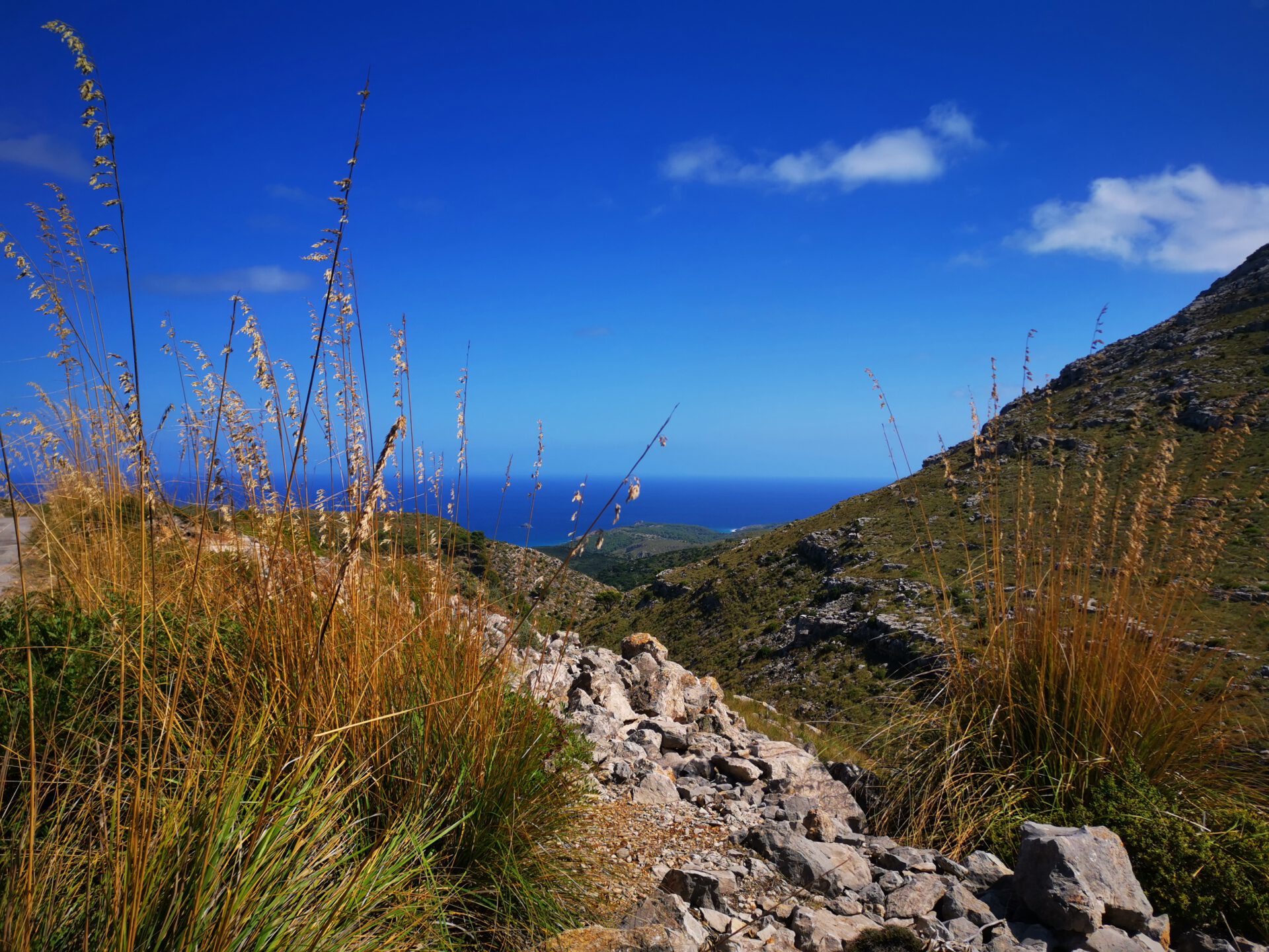
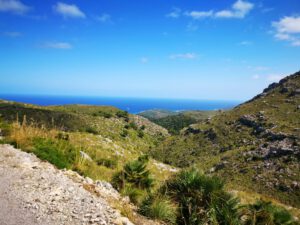
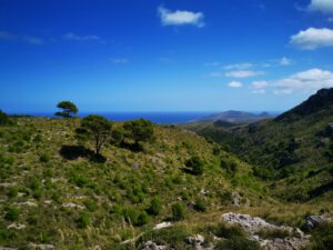
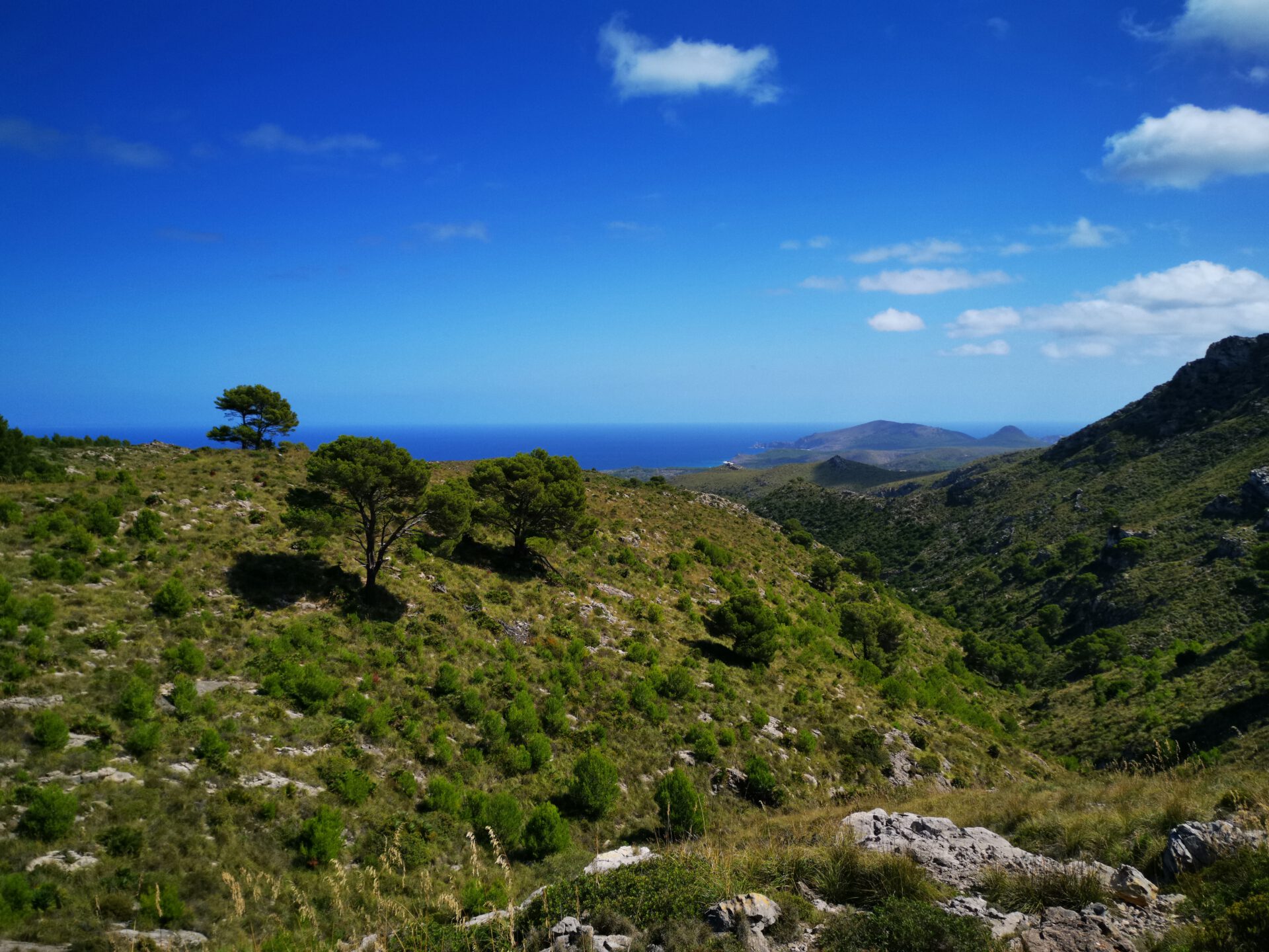
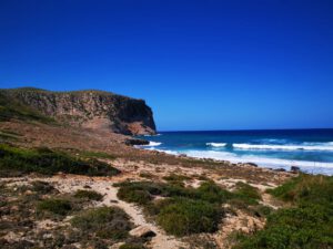
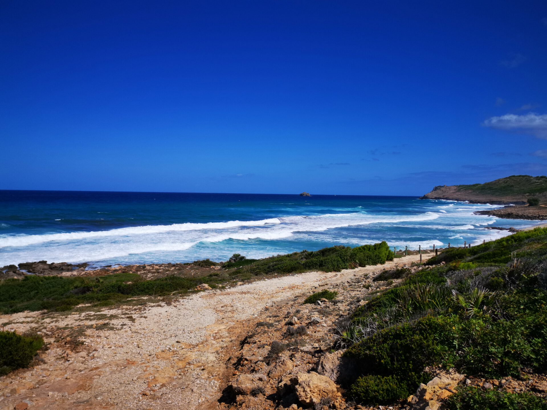
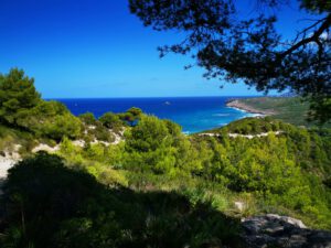
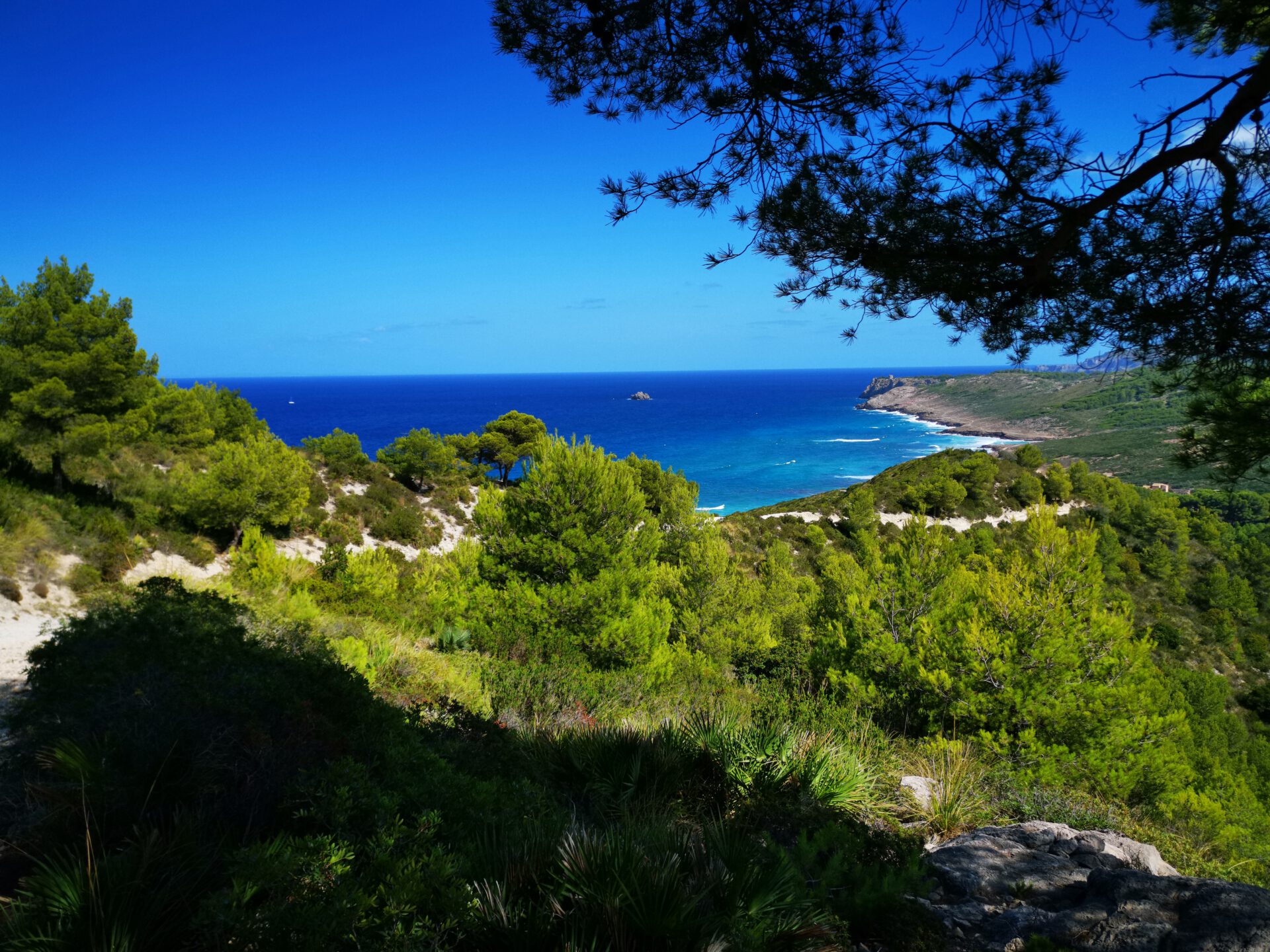
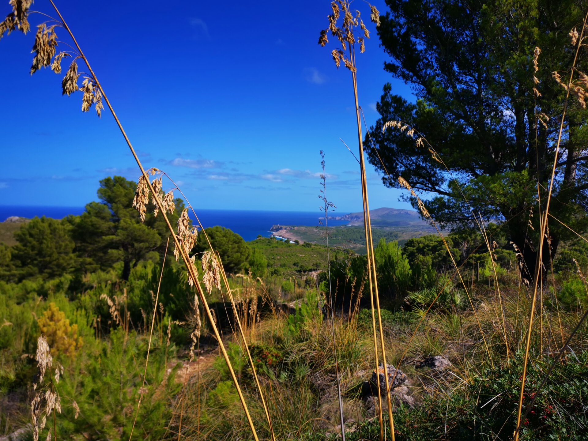
This tour takes you in the Parc Natural de la Península de Llevant to the Refugi de s’Arenalet d’Aubarca — a varied circular route with quiet sections and a beach at its lowest point. Here you will find the route, map and GPX track, plus our honest assessment of the effort required and orientation.
Highlights of the Refugi de s’Arenalet D’Aubarca hike
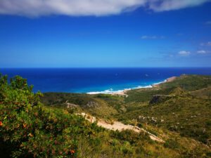
At the lowest point of the tour, the beach invites you to swim. And if you walk a few hundred metres further, you will immediately find the next cove.
What to keep in mind
The paths are easy to walk and easy to find — so from our point of view there is nothing that requires special attention.
starting point
At the car park of the Parc Natural de la Península de Llevant ( 39.736465, 3.335040).
WANT MORE HIKES LIKE THIS?
Then take a look at our overview of all hikes on Mallorca! In addition, this route belongs to the hikes with bathing coves and coastal sections .
-

- Refugi de s’Arenalet 01
-

- Refugi de s’Arenalet 02

-
- Refugi de s’Arenalet 03
-
- Refugi de s’Arenalet 04

-
- Refugi de s’Arenalet 05

-

- Refugi de s’Arenalet 06
-
- Refugi de s’Arenalet 07
-

- Refugi de s’Arenalet 08
FREQUENTLY ASKED QUESTIONS ABOUT THE Refugi de s’Arenalet D’Aubarca hike
At the car park of the Parc Natural de la Península de Llevant ( 39.736465, 3.335040).
The paths are not very difficult technically, but this is a remote and long tour without infrastructure. You should be sure-footed and bring enough water and food with you.
You should reckon with 2.5 to 2.5 hours each way — excluding a swimming stop!
Yes, the Refugi S’Arenalet d’Albarca is part of the state refuge network and can be reserved in advance on the official IBANAT website. Spontaneous visits are not possible.
No. Like all our routes, you can access the route directly in the browser with GPS location — without an app or registration. Just make sure you bring enough battery life or take a power bank for your smartphone with you.
No — there are no supply options on the way. At the refugi there is running water, but no catering. Be sure to bring everything yourself.
Only to a limited extent — for families with older children who have hiking experience, it can be a great adventure. For very young children or inexperienced hikers, it is too long and too remote.
At the lowest point of the tour, the beach invites you to swim. And if you walk a few hundred metres further, you will immediately find the next small cove.
Weather on the Refugi de s’Arenalet D’Aubarca hike
We provide a 24-hour forecast for planning your Refugi de s’Arenalet d’Aubarca hike — including temperature, rain, sunshine, cloud cover, plus wind speed and wind direction, for both the start point and the destination.
Check the Weathermap FAQ for more details about the weather data!
Who’s behind Mallorca-Touren? Learn more here!
Have you done this hike and have additional notes? Send us a message!
Questions about the hikes, the maps, or what we offer? Find answers here!
We provide our hiking maps with a lot of care and genuine joy. If you truly like what we’re building here, we’d be very grateful for a donation!