

Galatzó hike
Route overview Puig de Galatzó
This tour takes you to Puig de Galatzó — one of the most rewarding summits in the Serra de Tramuntana. Here you will find the route, map and GPX track, plus our honest assessment of the effort required, orientation and key sections. If you want to hike independently on Mallorca (without being forced to use an app), this is exactly the kind of tour: clearly planned, clearly described, with reliable navigation as a backup.
Highlights of the Galatzó hike
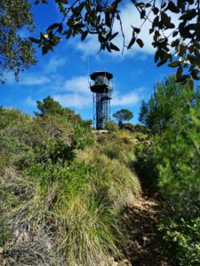
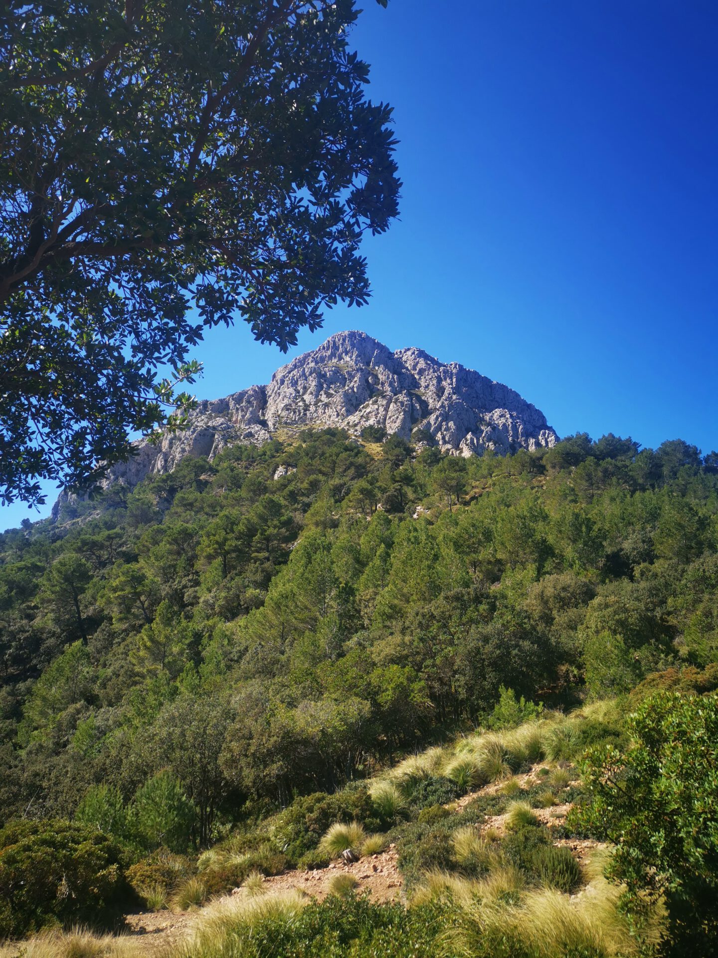
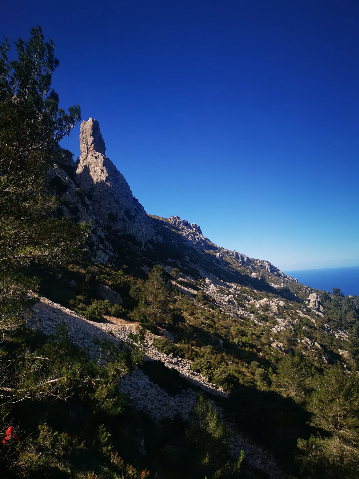
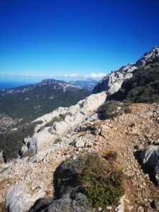
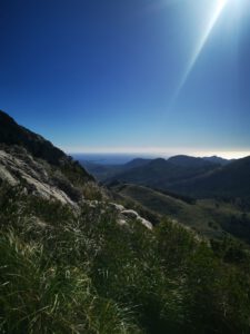
Puig de Galatzó is one of the highest summits in the Serra de Tramuntana. Overall, the tour is varied and scenic, the ascent is entertaining, and the landscape is fantastic. From the summit, you have a magnificent view over the island and can even make out the distant capital Palma with its cathedral. Quite simply one of our favourite tours!
What to keep in mind
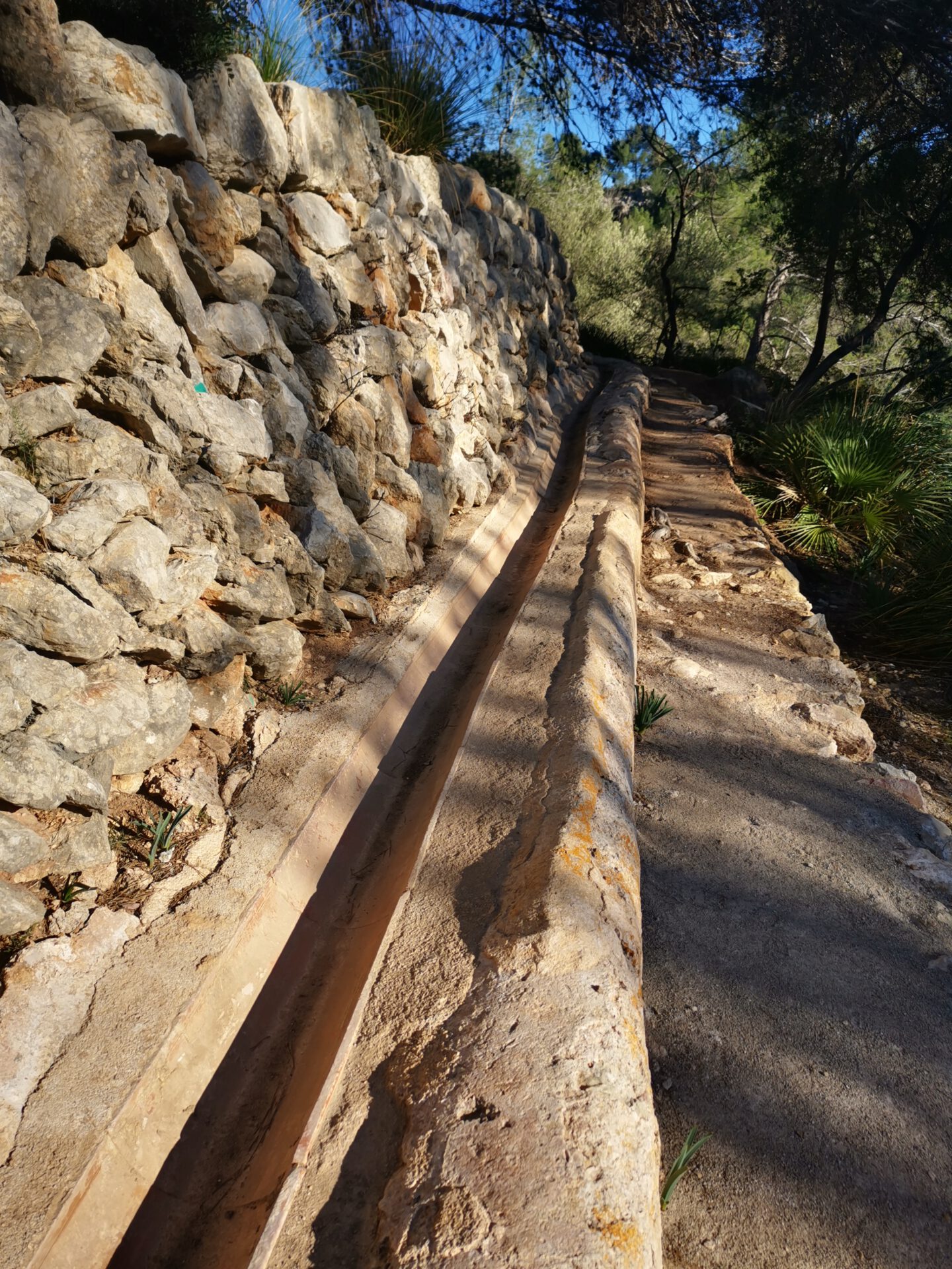
The ascent and descent repeatedly include scrambling sections — especially near the summit. The paths increasingly merge with the stony summit area, and you should follow the cairns and the route on the map. On the way back, parts of the route pass through narrow or not fully existant paths, high grasses and thorn bushes; if you have sensitive skin, you should wear long trousers, have zip-off trousers or trouser legs with you (or expect scratched legs).
Starting point
The tour starts at a fairly large public car park, which you reach shortly after passing through a gate ( 39.600215, 2.475692). If the entrance gate is closed or the car park is fuller than expected, there are also a few parking spaces at the side before the drive through the gate.
The access road from the turn-off from the main road is quite bumpy because of many potholes, and you should drive carefully there. But it is only a few hundred metres and can also be driven without problems in a normal car.
WANT MORE HIKES LIKE THIS?
Then take a look at our overview of all hikes on Mallorca! This route is part of our hikes in the Tramuntana m ountains.
This route was also featured in our Best of Mallorca guide to Tramuntana hikes.
-
- Galatzo-01

-


- Galatzo-02
-

- Galatzo-03
-
- Galatzo-04

-
- Galatzo-05

-

- Galatzo-06

-

- Galatzo-07
-
- Galatzo-08

FREQUENTLY ASKED QUESTIONS ABOUT THE GALATZÓ hike
The tour starts at a fairly large public car park, which you reach shortly after passing through a gate ( 39.600215, 2.475692). If the entrance gate is closed or the car park is unexpectedly full, there are also a few parking spaces at the side before the passage through the gate.
The access road from the turn-off from the main road is quite bumpy because of many potholes, and you should drive carefully there. However, it is only a few hundred metres and can be driven without problems even in a normal car.
It is a demanding tour and at some points not an easy one technically, with more than 900 metres of ascent. You should bring good fitness.
Depending on your pace, about 5 to 6 hours — including breaks and a short stay at the summit. Plan enough water and food.
Absolutely. The paths are not continuously recognisable, especially on the descent via Ses Planes. Our 2D map and the GPX file help you complete the circular route safely.
One of the most spectacular views on the island: a view over the Tramuntana mountains, towards the Bay of Palma and, in clear weather, as far as Ibiza.
Hardly any. The route leads mostly through open terrain — sufficient sun protection and plenty of water are essential.
The ascent and descent repeatedly include scrambling sections — especially near the summit. The paths become increasingly indistinct as you gain height, and you should follow the cairns and the route on the map. On the way back, there are sections on narrow or non-existent paths through sharp-edged rocks, tall esparto grass and thorn bushes; if you have sensitive skin, you should wear long trousers, bring zip-off trousers or trouser legs with you (or expect scratched legs).
Weather on the GALATZÓ hike
We provide a 24-hour forecast for planning your Galatzó hike — including temperature, rain, sunshine, cloud cover, plus wind speed and wind direction, for both the start point and the destination.
Check the Weathermap FAQ for more details about the weather data!
Who’s behind Mallorca-Touren? Learn more here!
Have you done this hike and have additional notes? Send us a message!
Questions about the hikes, the maps, or what we offer? Find answers here!
We provide our hiking maps with a lot of care and genuine joy. If you truly like what we’re building here, we’d be very grateful for a donation!