

Randa Hike
Route overview Puig de Randa
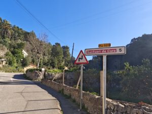
This tour takes you to Puig de Randa in the interior of the island — an easy route with plenty of “Mallorca feeling” around the Santuari de Nostra Senyora de Cura and the viewpoints on the mountain. Here you get the route, interactive map and GPX track plus our honest assessment of the effort required and orientation. Precisely because, while on Randa, you also come across paths that are marked in part as “private”, GPX is helpful as a backup. And if you then feel like a second perspective: halfway up there is also the Santuari de Sant Honorat.
Highlights of the Puig de Randa hike
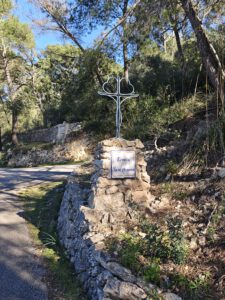
The Randa monastery is one of the two largest and most visited monasteries in Mallorca’s interior (alongside Sant Salvador) and attracts both tourists and locals. There you often come across local families having barbecues and playing football. And not to be forgotten, the monastery Sant Honorat: halfway up there is a second monastery, which, however, is not open to the public.
What to keep in mind
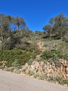
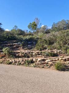
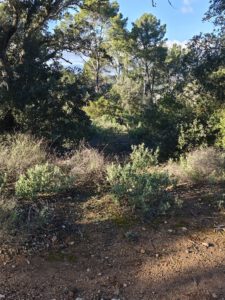
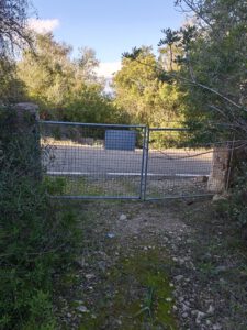
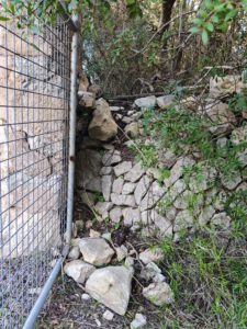
The return route partly leads along paths marked as “private”, but which are freely accessible.
starting point
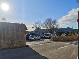
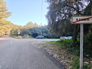
At the car park directly after entering the village when coming from the MA-5010 ( 39.526429, 2.914222).
WANT MORE HIKES LIKE THIS?
Then take a look at our overview of all hikes on Mallorca! This hike belongs to the solitary mountains in the interior of Mallorca.
RANDA HIKE - SHORT ROUTE GUIDE
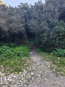
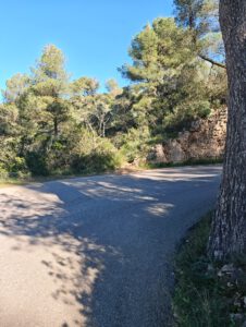
... which crosses the road after a few meters and leads to the final stretch of the trail before reaching the summit.
FREQUENTLY ASKED QUESTIONS ABOUT THE Randa hike
At the car park directly after entering the village when coming from the MA-5010 ( 39.526429, 2.914222).
The route is technically easy, especially on the monastery road. Persistence is helpful, but the tour is also quite manageable for less experienced hikers.
The pure walking time is about 2 hours. For breaks and photos, you should allow 3 hours in total.
Yes. If you only want to visit Cura, you can drive up to the car park there. For a real circular hike, however, the ascent on foot is of course recommended.
Yes — at the Santuari de Cura on the summit there is a restaurant with a terrace. You can stop there or rest on the forecourt.
The Randa monastery is one of the two largest and most visited monasteries in Mallorca’s interior (alongside Sant Salvador) and attracts both tourists and locals. There you often come across local families having barbecues and playing football. And not to be forgotten, the monastery Sant Honorat: halfway up there is a second monastery, which, however, is not open to the public.
The return route partly leads along paths marked as “private”, but which are freely accessible.
Weather on the Randa hike
We provide a 24-hour forecast for planning your Randa hike — including temperature, rain, sunshine, cloud cover, plus wind speed and wind direction, for both the start point and the destination.
Check the Weathermap FAQ for more details about the weather data!
Who’s behind Mallorca-Touren? Learn more here!
Have you done this hike and have additional notes? Send us a message!
Questions about the hikes, the maps, or what we offer? Find answers here!
We provide our hiking maps with a lot of care and genuine joy. If you truly like what we’re building here, we’d be very grateful for a donation!